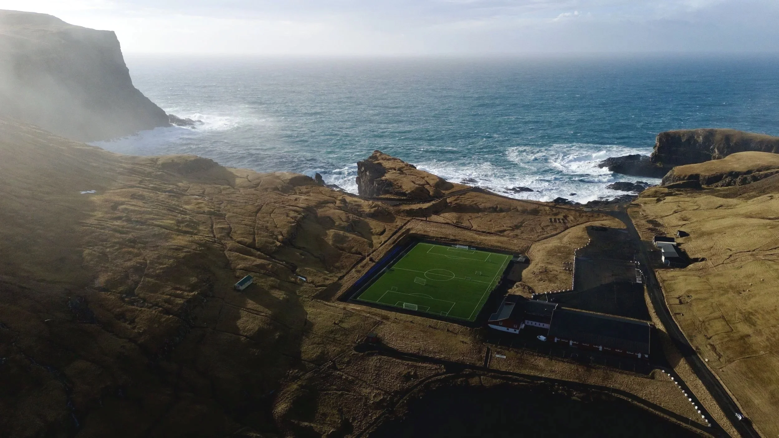
Faroe Islands: Suðuroy
Suðuroy — The Island That Felt Like The Edge Of The World.
In this blog I want to share with you my favorite view points, hikes and a lot of practical information, how to photograph the islands and get to the places.
Photographed and written by Julia Mustonen-Dahlkvist


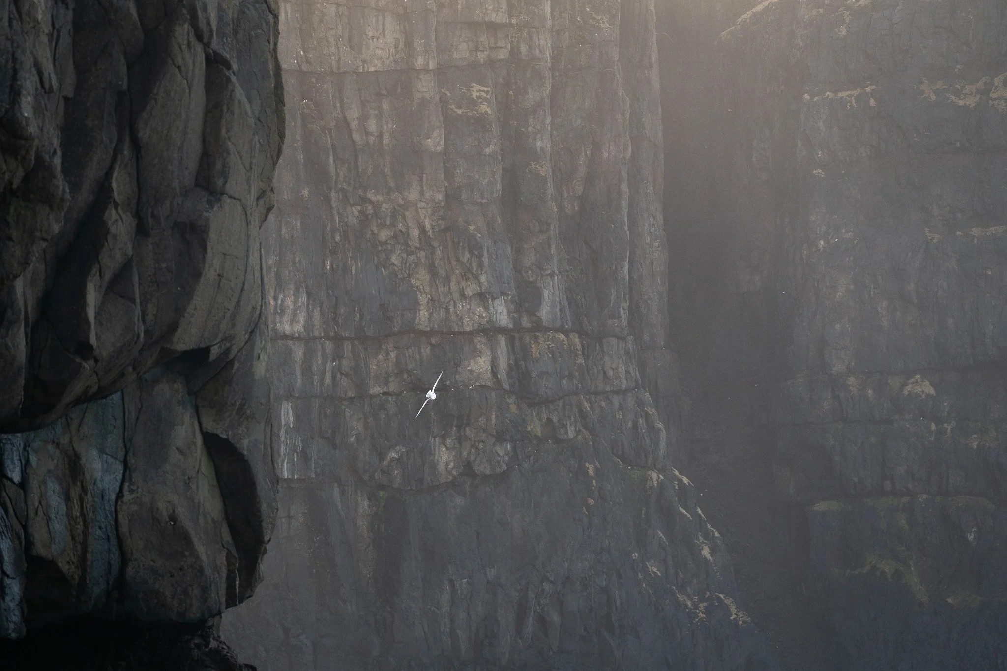
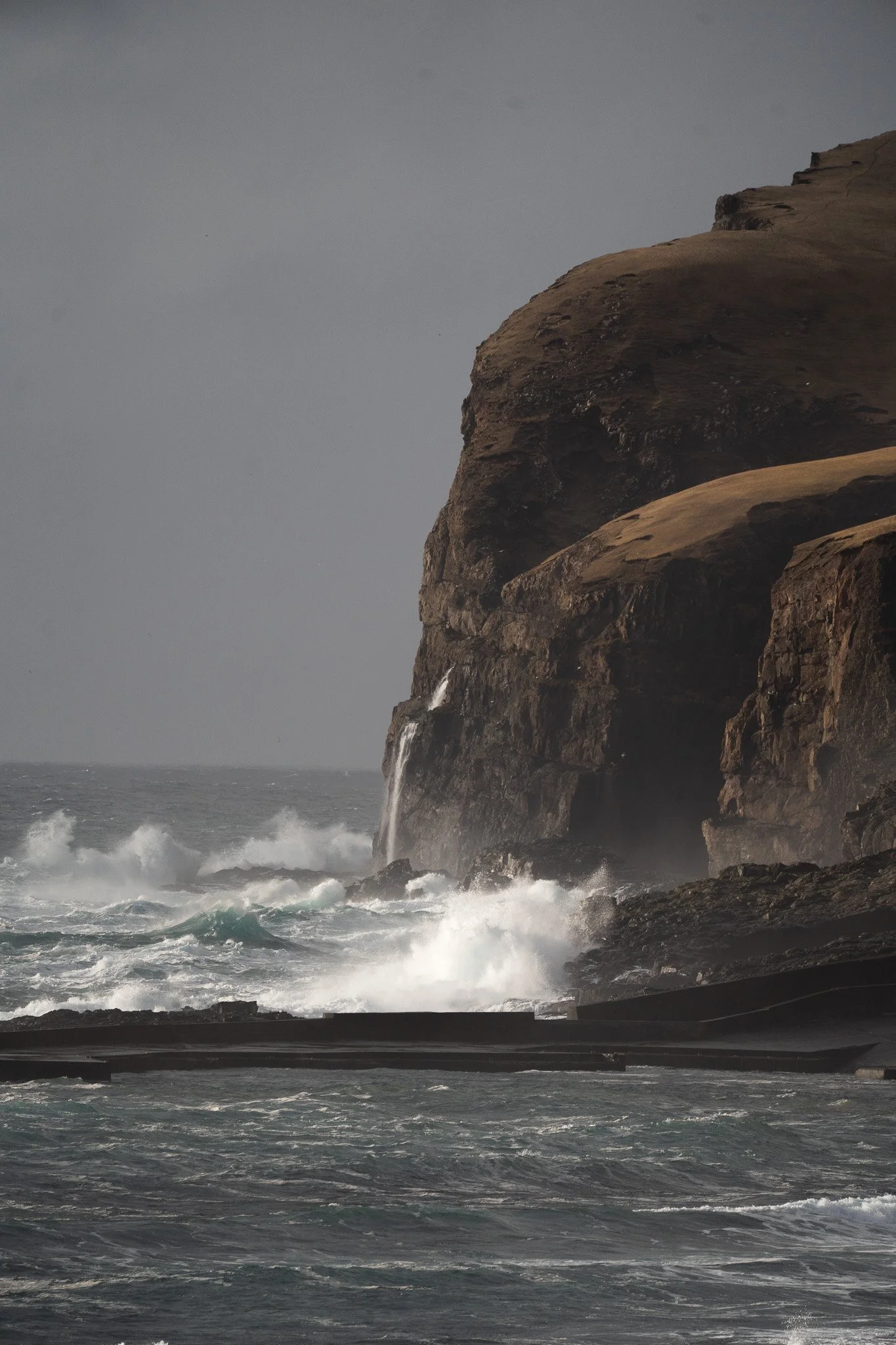
There are places that look beautiful in photographs.
And then there are places that completely change once you actually stand there. Suðuroy was one of those places for me.
I expected dramatic cliffs and moody weather because, well… it is the Faroe Islands. But I did not expect the island to feel this raw. This isolated. This unfinished somehow. Like the Atlantic is still shaping it in real time.The further south I drove, the more everything started to feel disconnected from the rest of Europe. Tiny villages sitting alone beneath giant mountains. Roads disappearing into fog. Black cliffs dropping straight into the ocean while waves exploded hundreds of meters below.

And the light never stayed the same for more than five minutes. One second the entire landscape disappeared into clouds. The next, sunlight suddenly broke through and illuminated one small ridge somewhere in the distance like a spotlight.
Suðuroy is probably the Faroese island that surprised me the most photographically. Not because every location is famous.
But because almost every single corner of the island feels cinematic. Driving across the entire island of Suðuroy from the southern tip near Akraberg all the way to the northern village of Sandvík takes roughly 1 hour to 1 hour 15 minutes without stops.
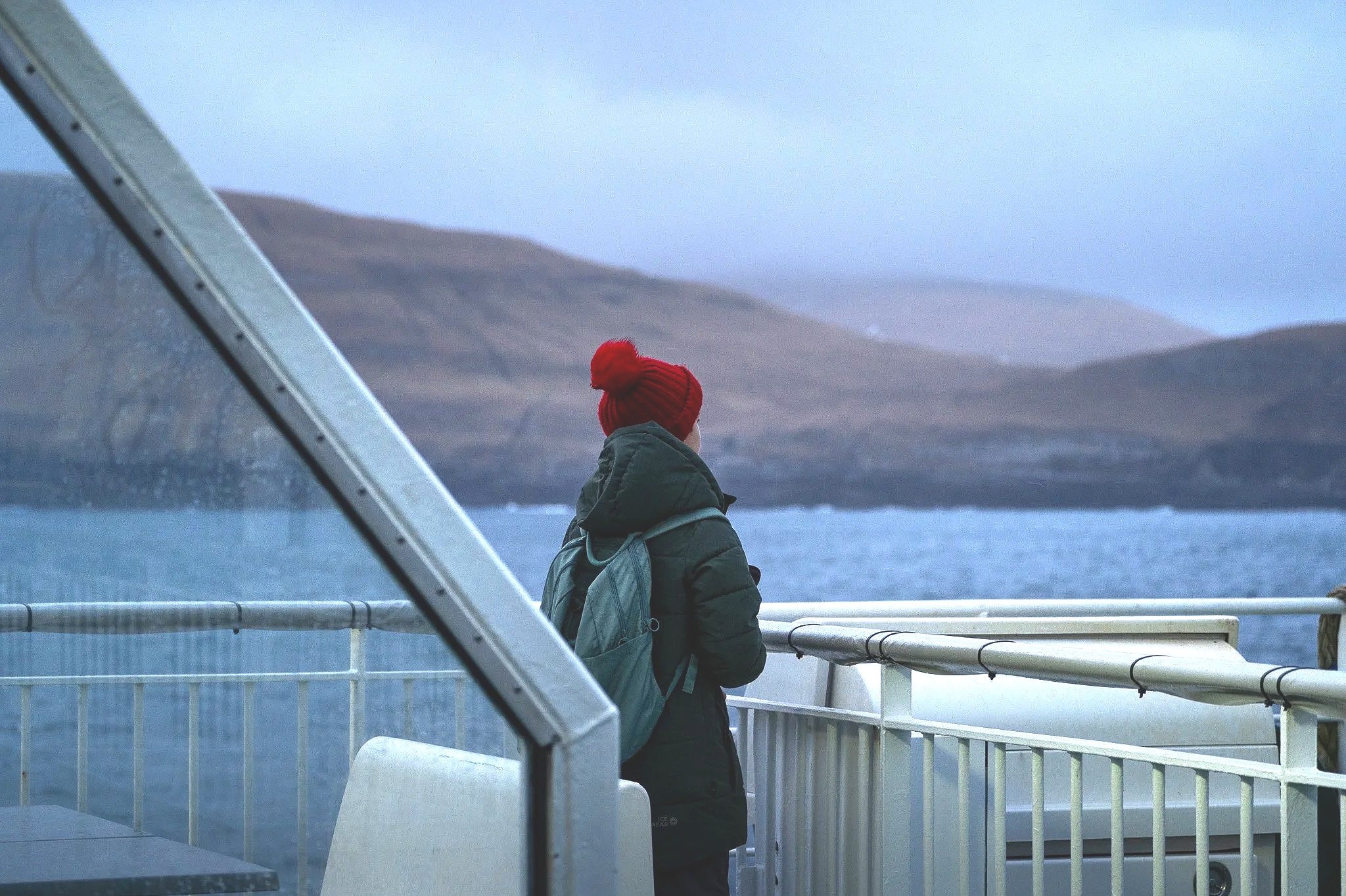
On the ferry
Getting To Suðuroy
Getting to Suðuroy already feels like part of the adventure.
Unlike some of the northern islands connected by tunnels and bridges, Suðuroy still feels properly remote because the only way to reach it is by ferry from Tórshavn to Tvøroyri.
The crossing takes around two hours and honestly, once the ferry leaves the harbor and the northern islands slowly disappear behind you, it already starts to feel different.
Like you are heading somewhere further out into the Atlantic.
I highly recommend bringing a car onboard. Technically you can explore Suðuroy using public transport, but for photography it changes everything having your own vehicle. Especially because weather conditions move incredibly fast here and some of the best moments happen completely unexpectedly.
More than once I stopped the car randomly because fog suddenly rolled through a valley or sunlight appeared for maybe thirty seconds before disappearing again. Book the ferry in advance during summer because vehicle spots can fill up quickly.

Litla Dimmun
What Makes Suðuroy Feel So Different
I kept thinking about this while exploring the island because Suðuroy really does feel different from the rest of the Faroes.
It feels less polished. Less touristy. More raw.
The villages are tiny and sit completely alone beneath huge mountains. The roads wind through foggy valleys and along massive cliffs and sometimes you can drive for a long time without seeing anyone except sheep.
The weather also changes ridiculously fast here. I know people always say that about the Faroes, but Suðuroy was on another level. I would start a hike in sunshine, walk into thick fog twenty minutes later and then suddenly get perfect golden light out of nowhere.
Honestly, that is what makes the island so photogenic. The landscapes never really look the same twice.
My favorite view points

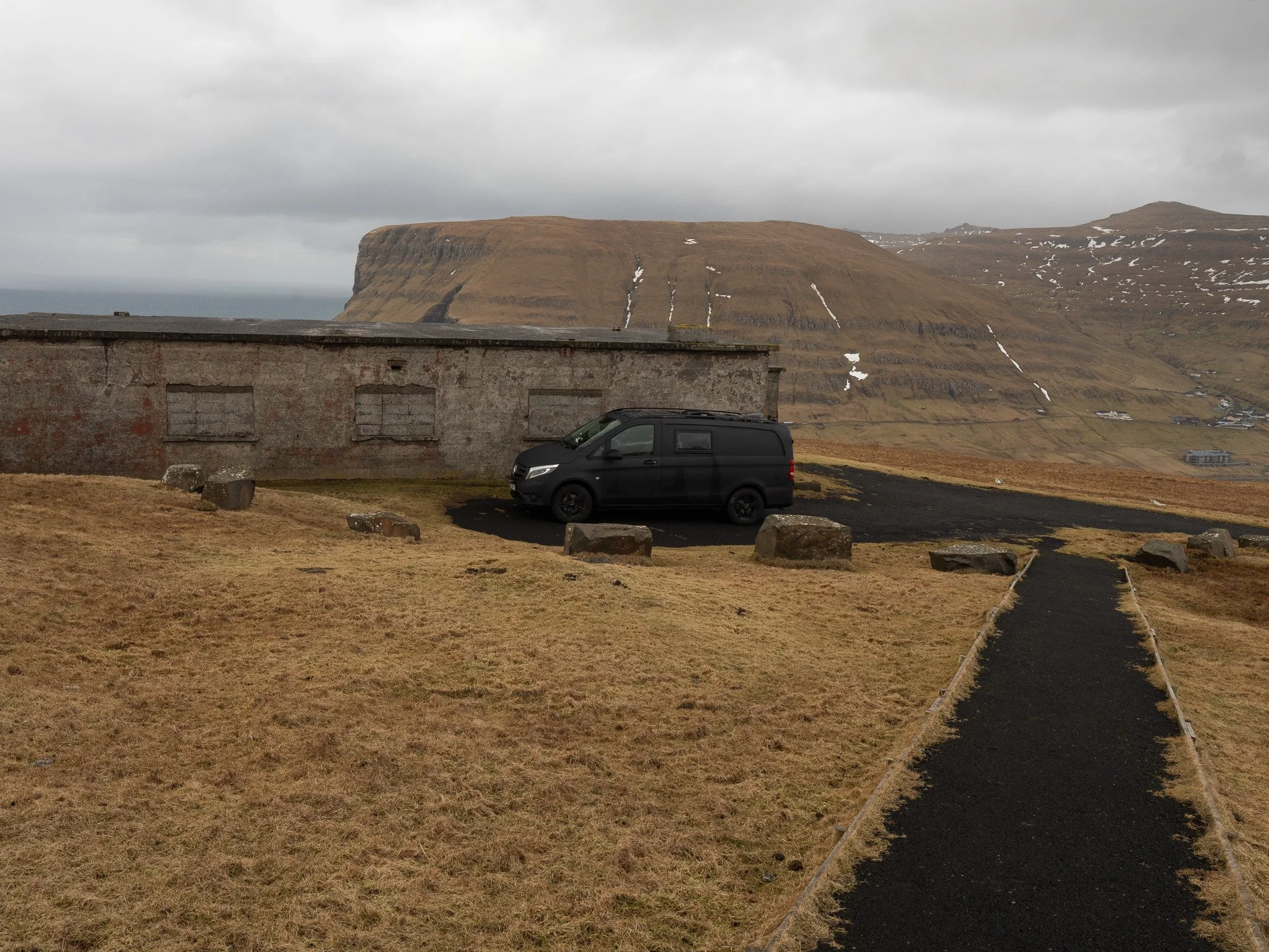
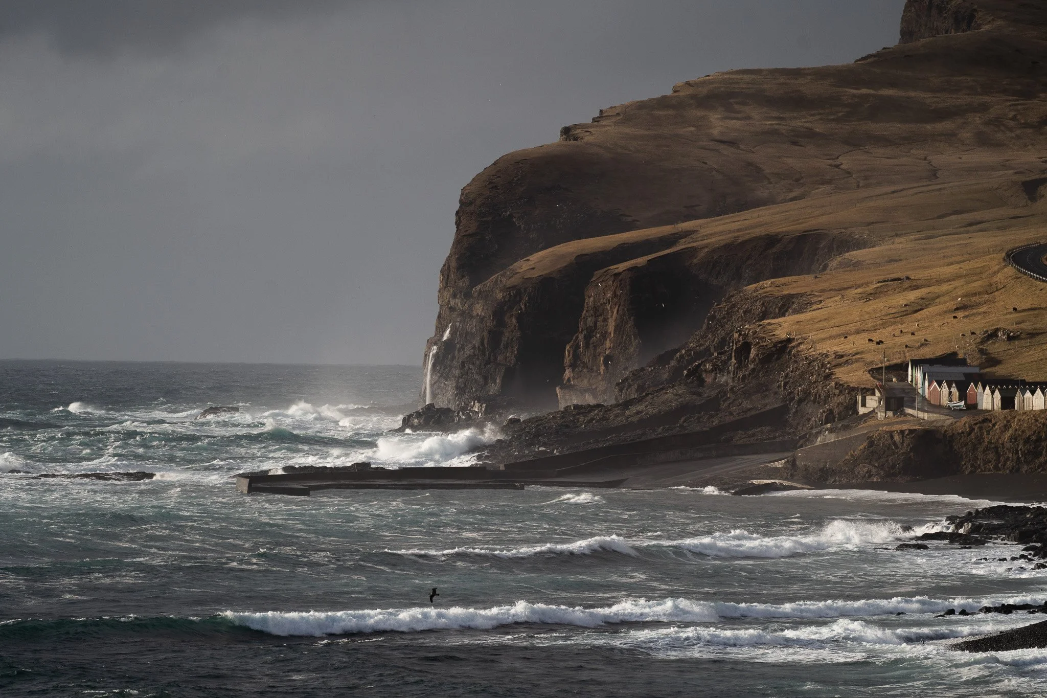
My favorite view point. Located just near the Vågar.
Very small roan to drive up to. But it opens amazing view. I parked the car behind the house because i was hiding from the wind :)
One of the things I loved most about Suðuroy was that many of the best viewpoints were not even official destinations. They were simply moments along the road where the landscape suddenly became so dramatic that continuing to drive felt impossible. There are all very easy to get to with the car, and you get absolutely astonishing views just 30 sec walking distance from parking lot.
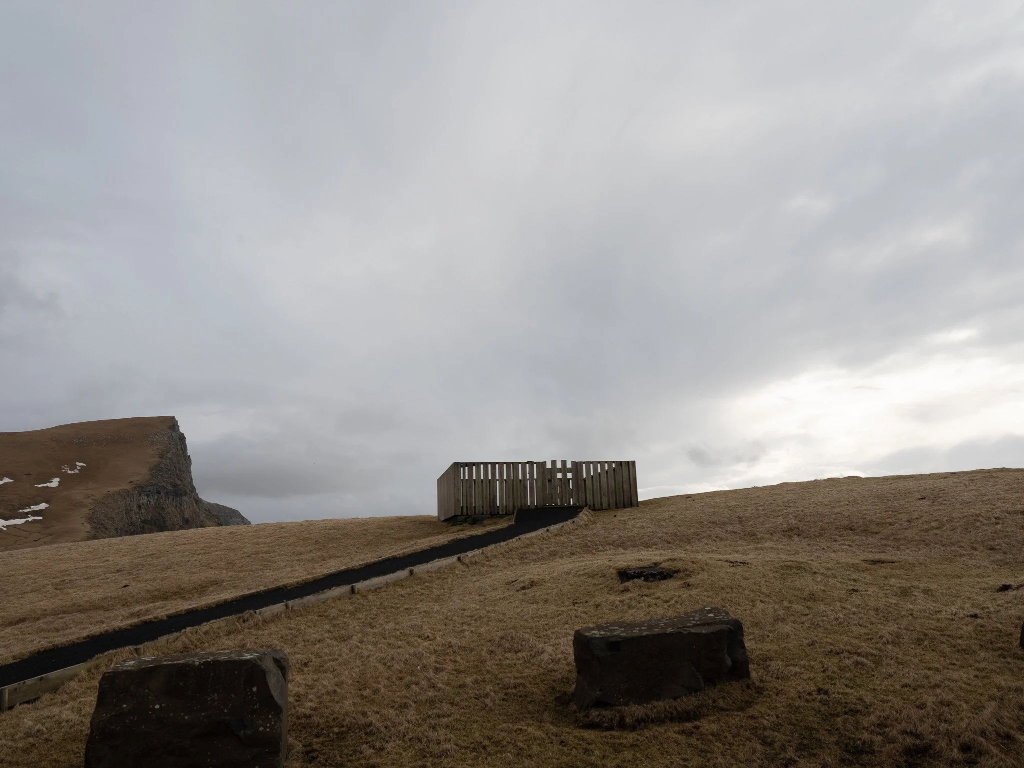

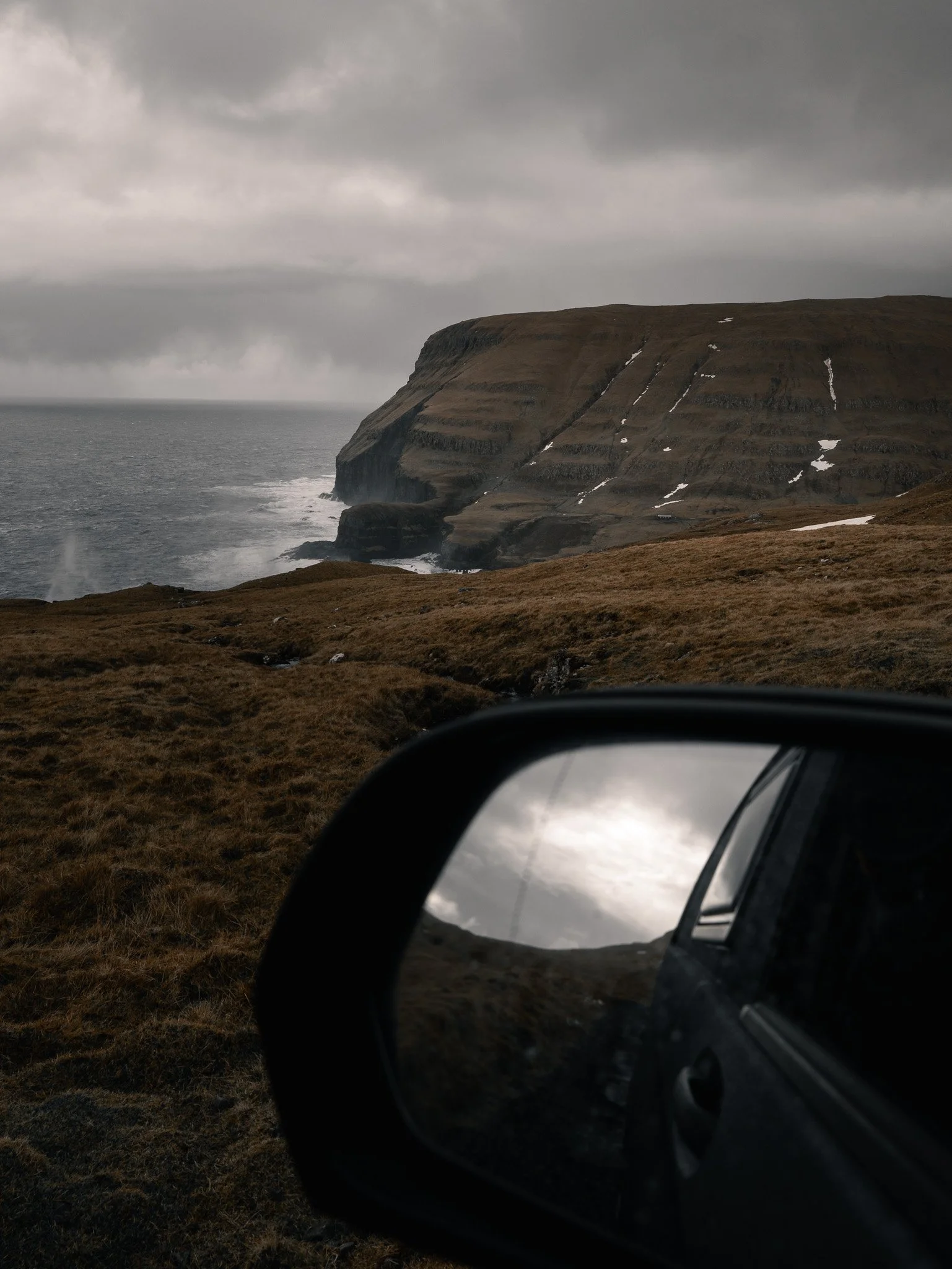
The road between Hov, Lopra and Sumba especially is one of the most scenic drives I have experienced anywhere in the Faroes. The landscape constantly changes as the road climbs through mountains and follows steep coastlines above the Atlantic. Every few minutes another valley opens up, another cliff appears in the distance or clouds suddenly move across the ridges and completely transform the scene. I spent there hours and days waiting for clouds to disappear. And got some very dramatic images during the sunset.

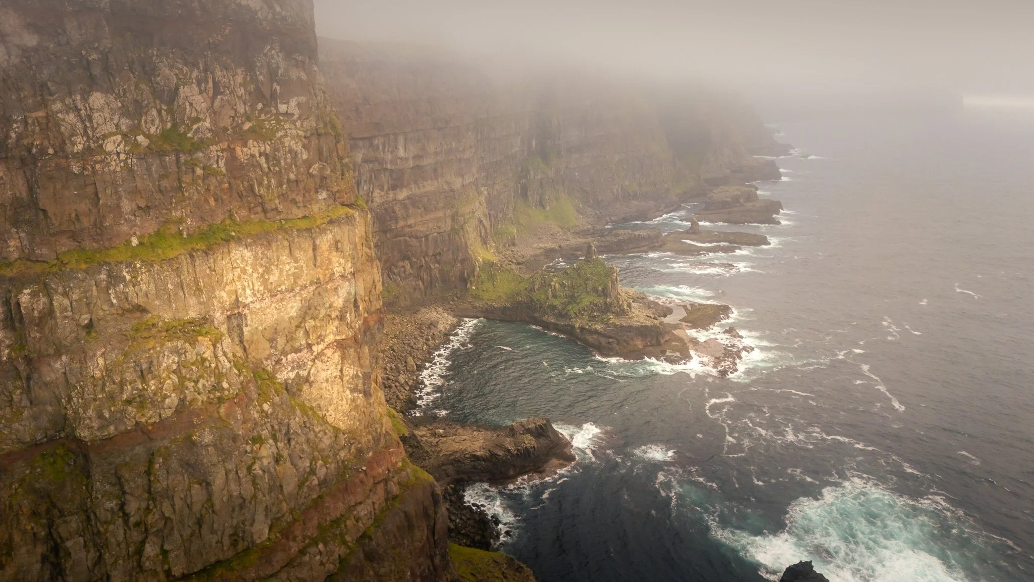

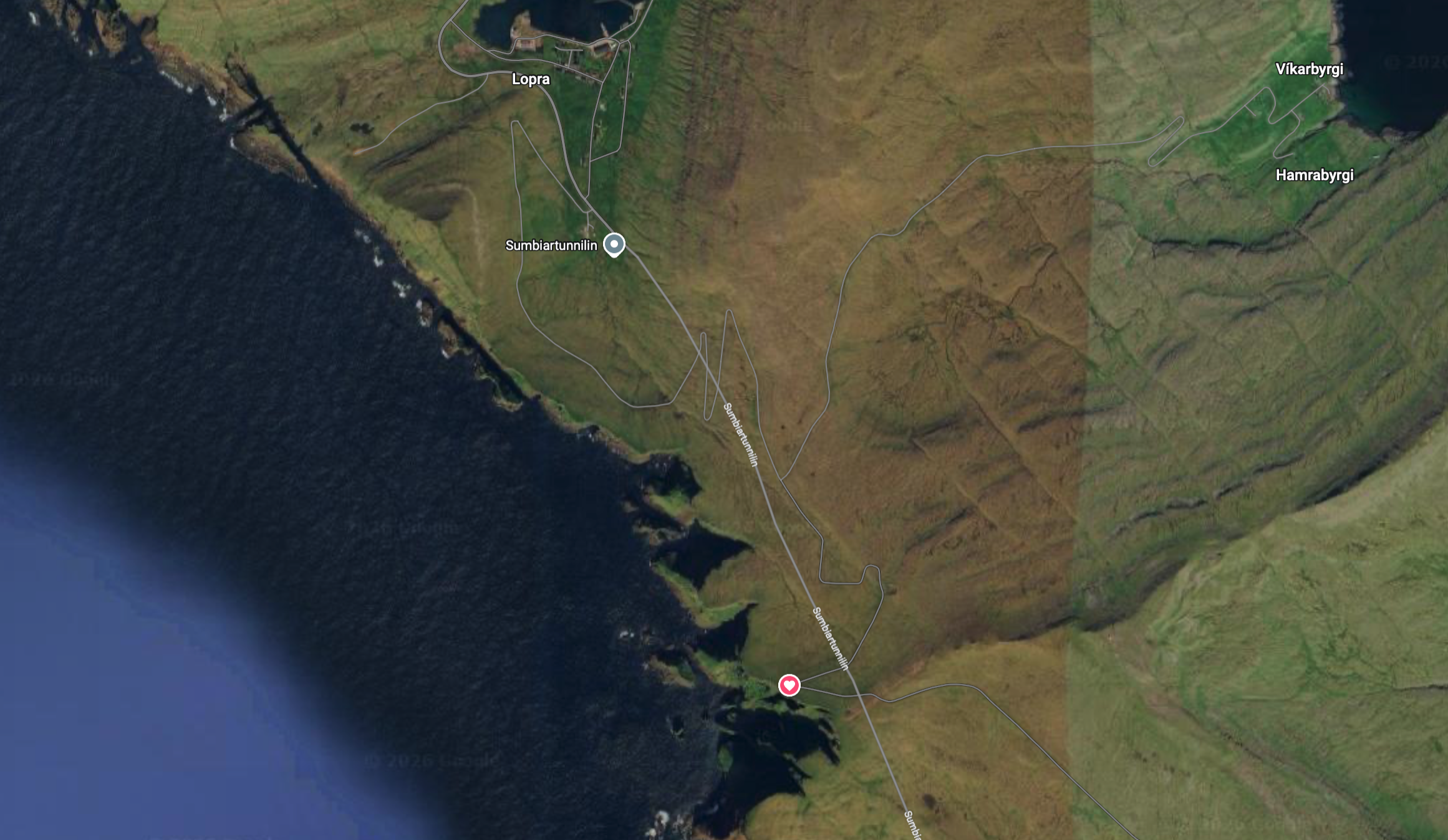
One of my other favourite view points
One of my favorite areas was the road above Hov where the mountains open into wide grassy landscapes with winding roads disappearing through the hills. During foggy conditions it almost looked unreal from above with layers of clouds moving slowly between the mountains while tiny roads emerged and disappeared beneath them.
The drive near Beinisvørð was equally unforgettable. The cliffs there are enormous in a way that photographs struggle to properly capture and during sunset the entire coastline constantly changed as light moved through the clouds. Sometimes the cliffs vanished completely into darkness and then suddenly one beam of sunlight illuminated the whole coastline for only a few seconds before disappearing again.
Hvalba
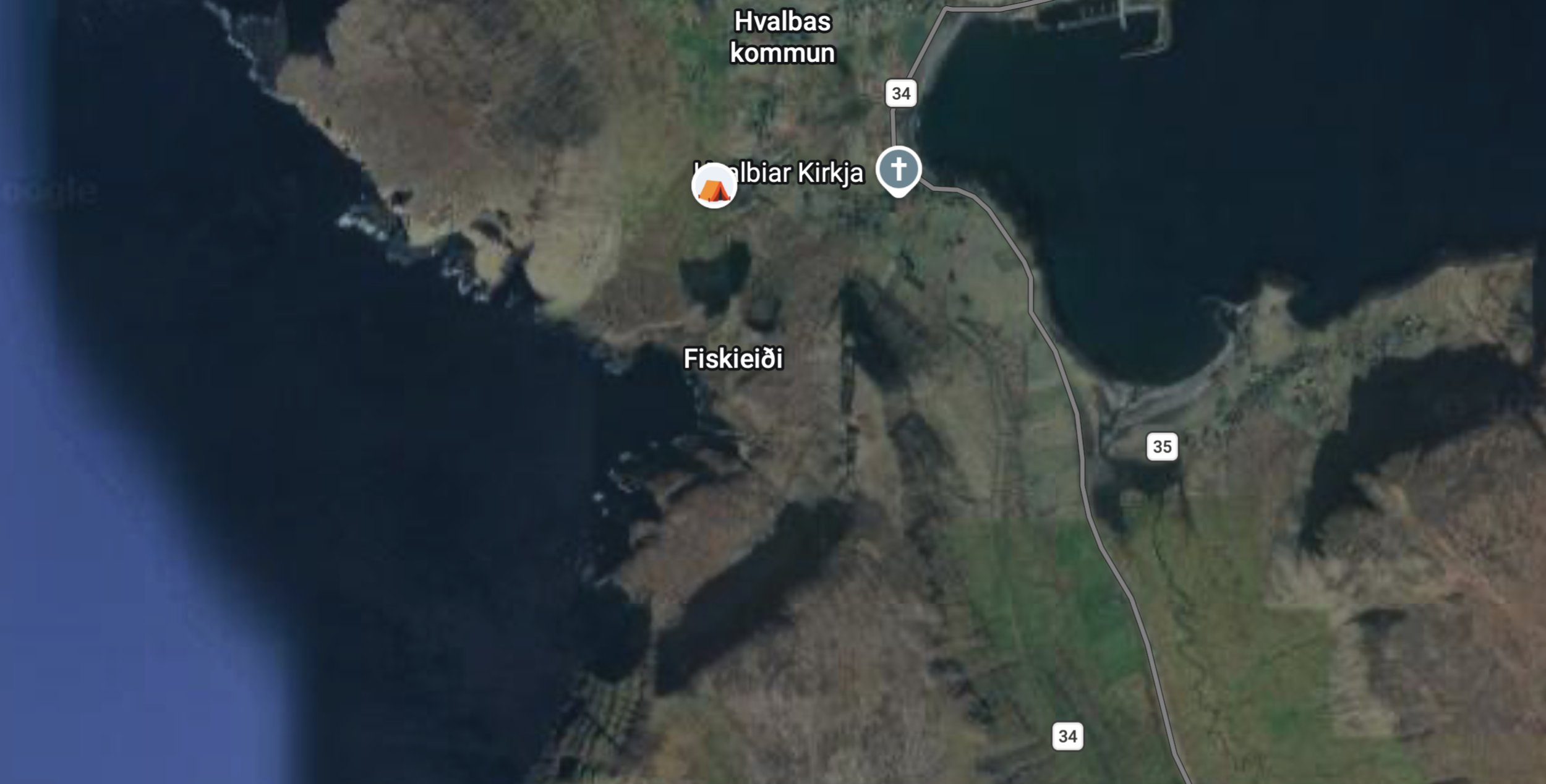
View point no 1 near Hvalba
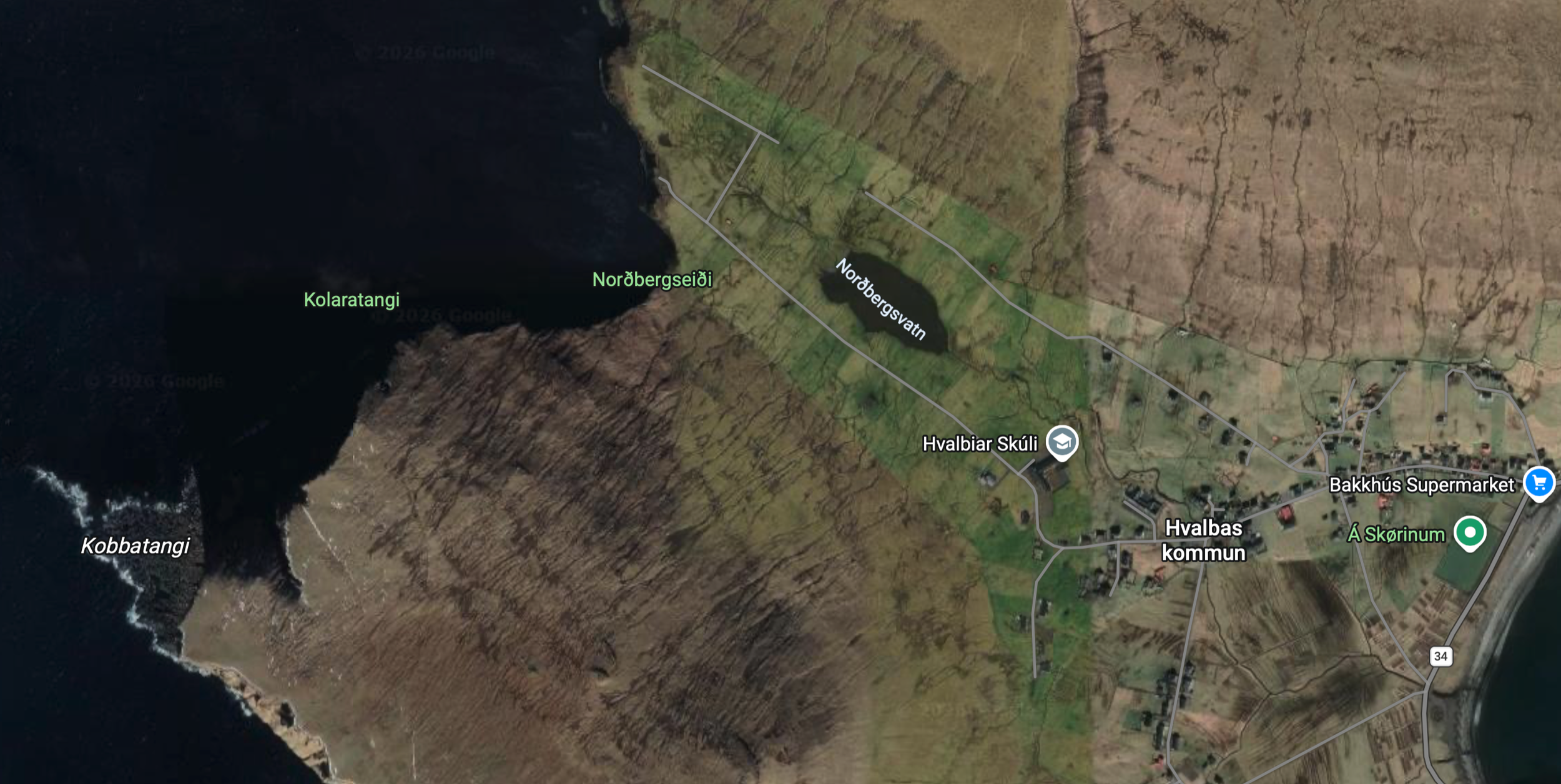
In the end of the road you can see the parking spot with the view no 2 in Hvalba. Video of this view point:

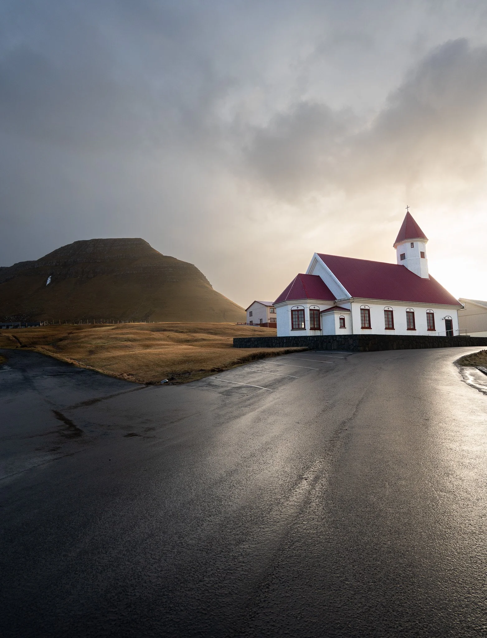

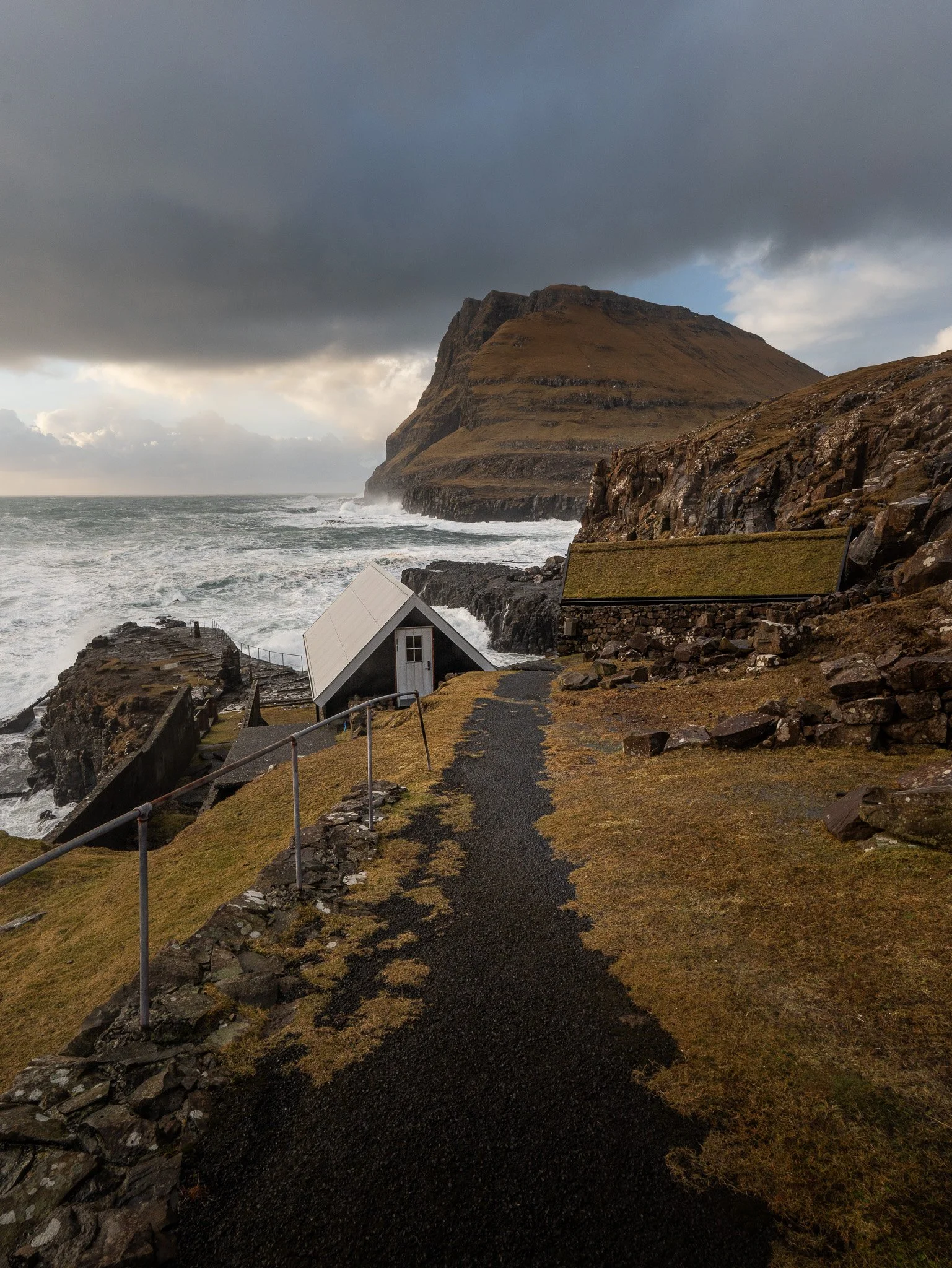
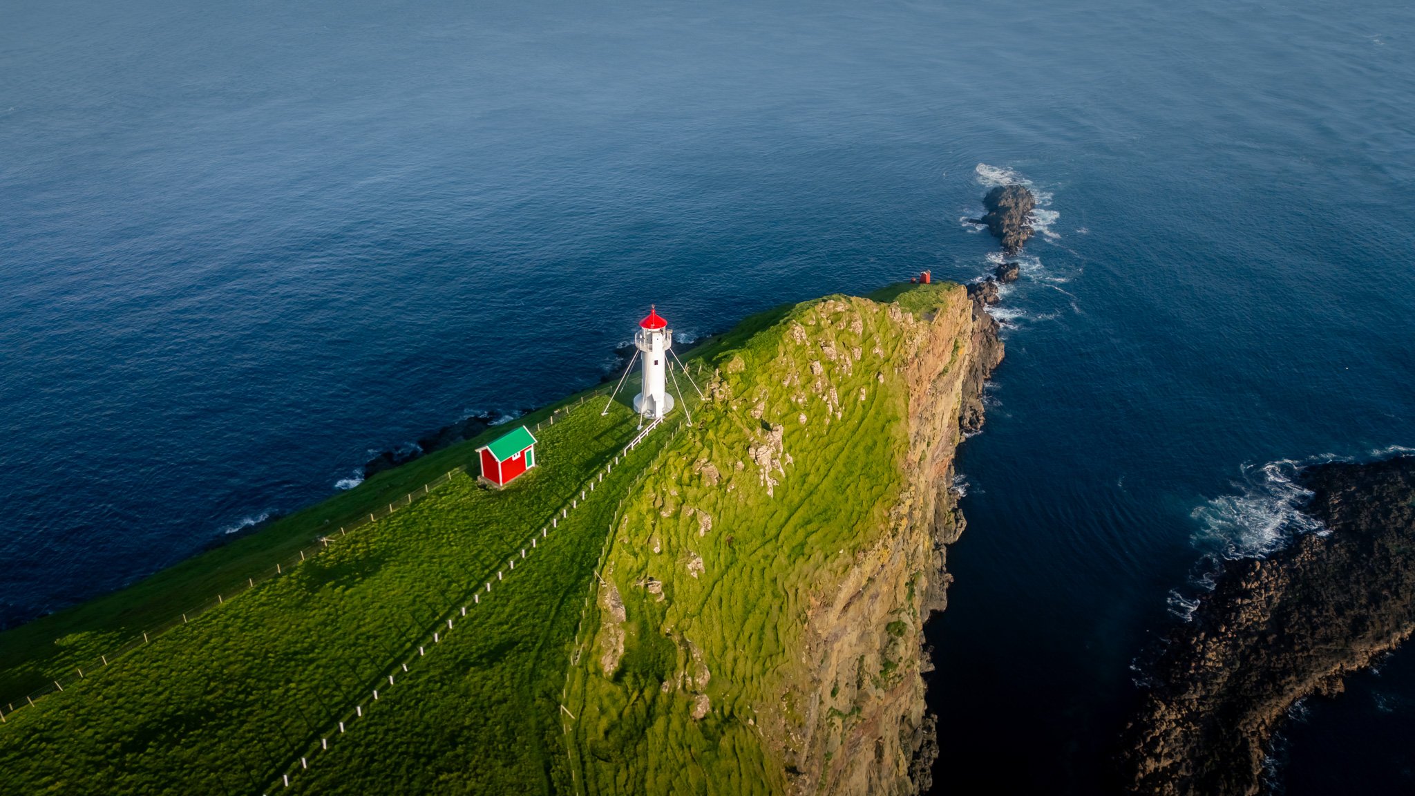
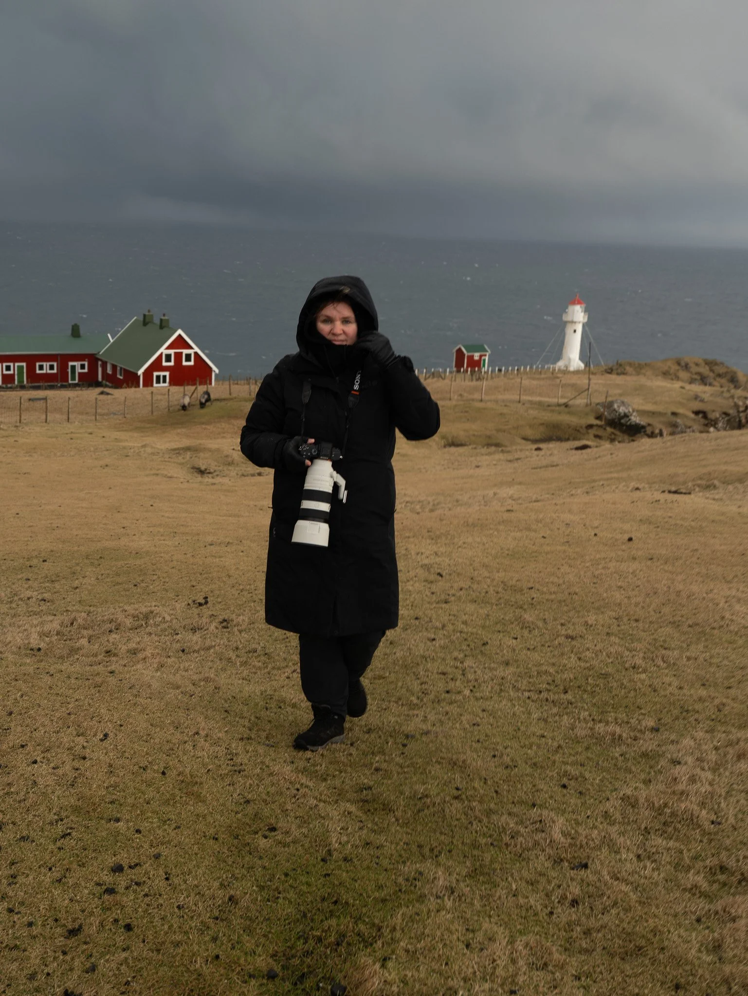
Driving toward Akraberg in the far south also felt special because the landscape gradually becomes emptier and more exposed. Villages become smaller, the Atlantic feels larger and eventually the lighthouse appears ahead of you standing alone at the southern edge of the Faroes.

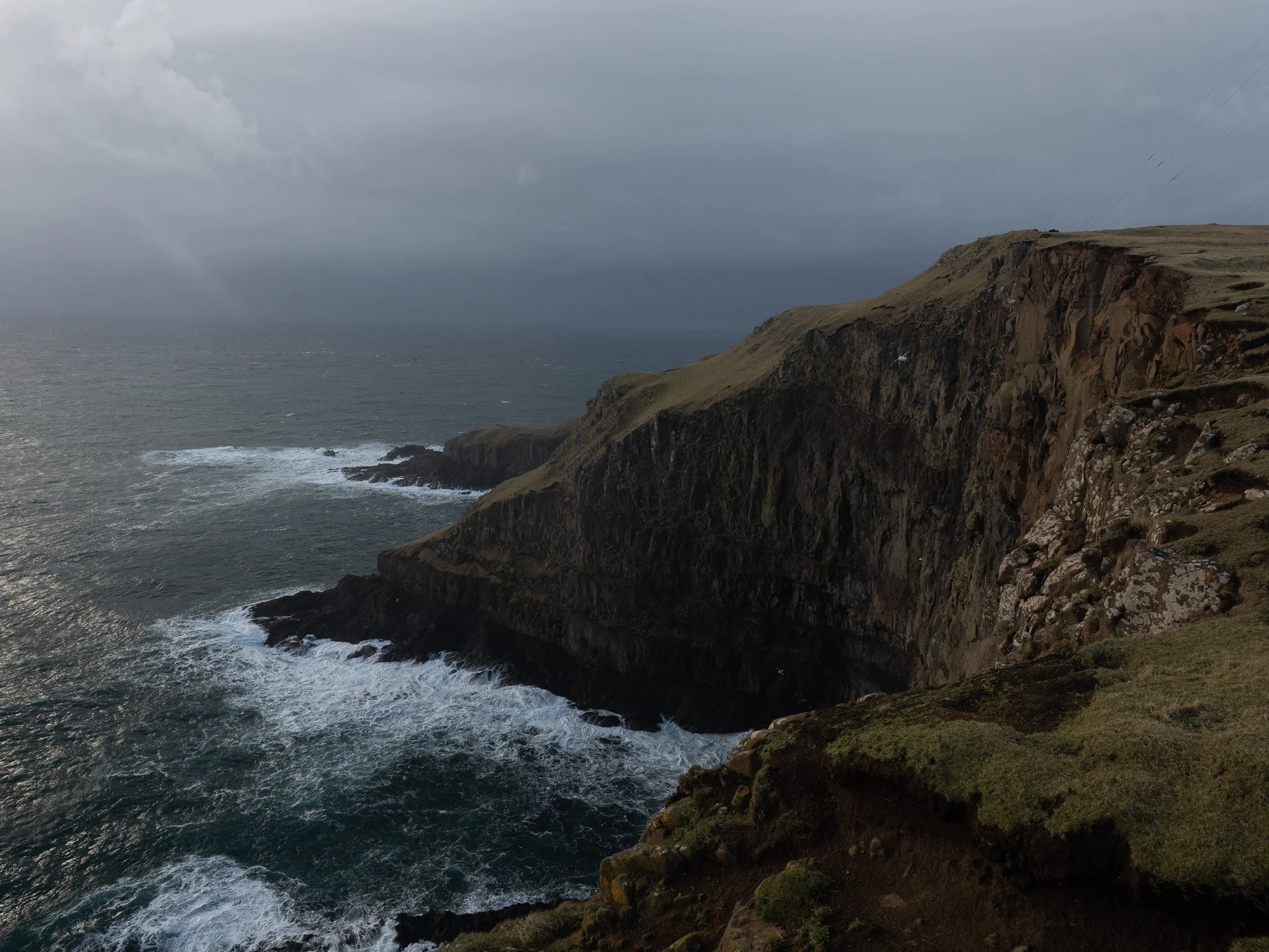
View at the Vågar just 3 min walk from the camping: Vágseiði.

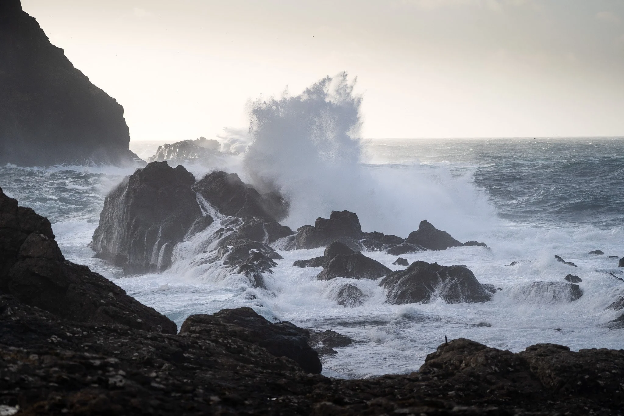
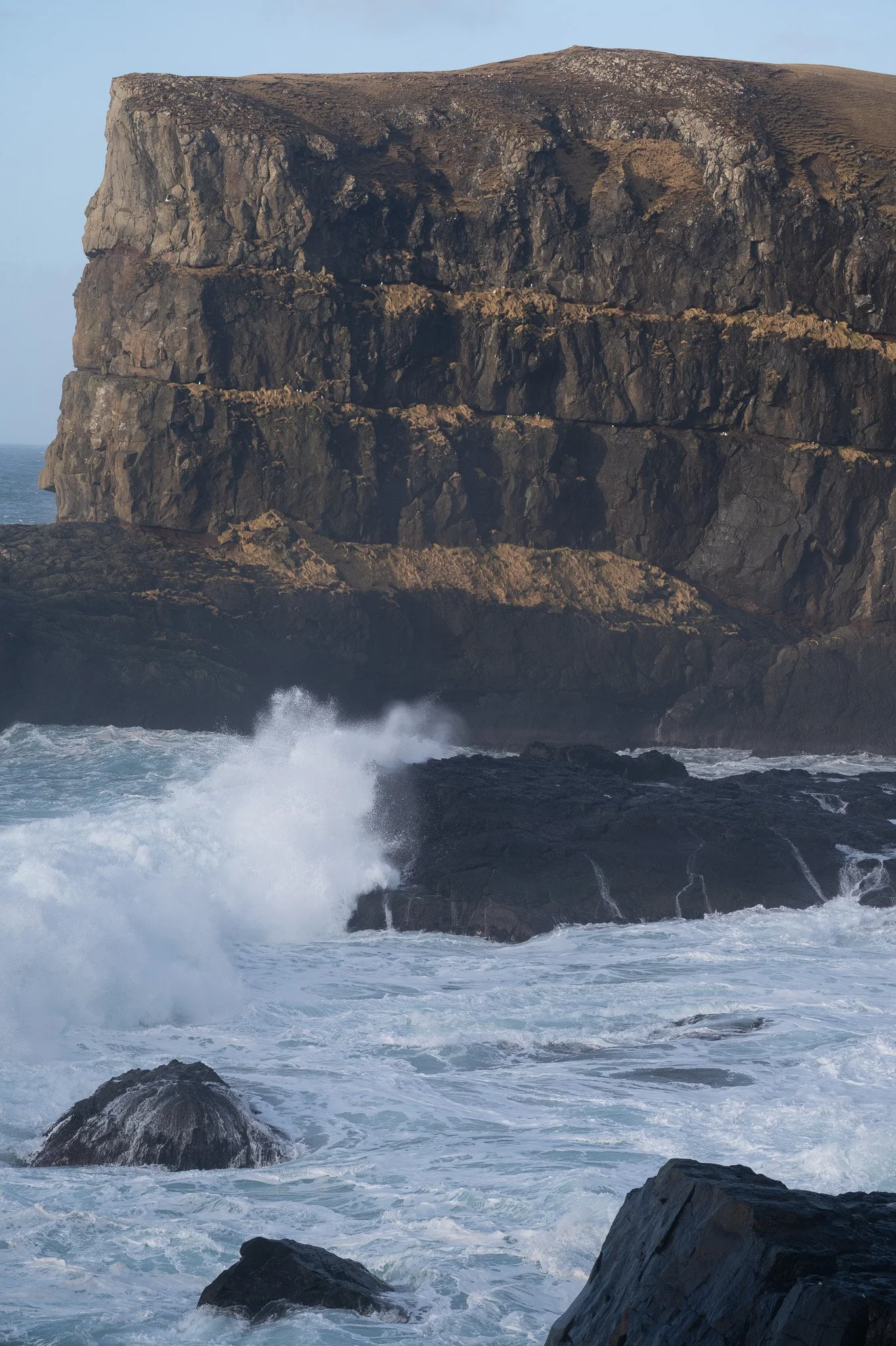
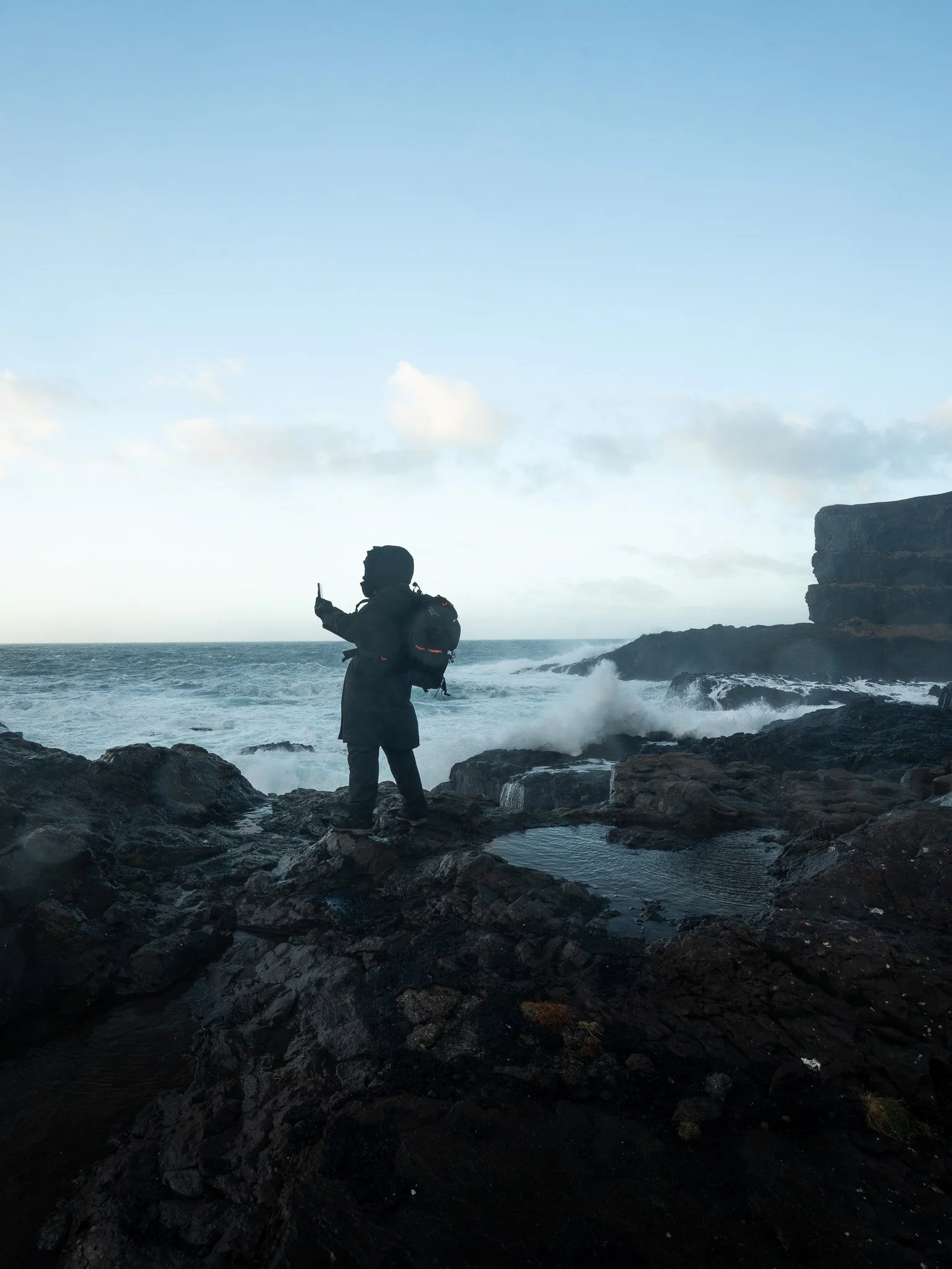
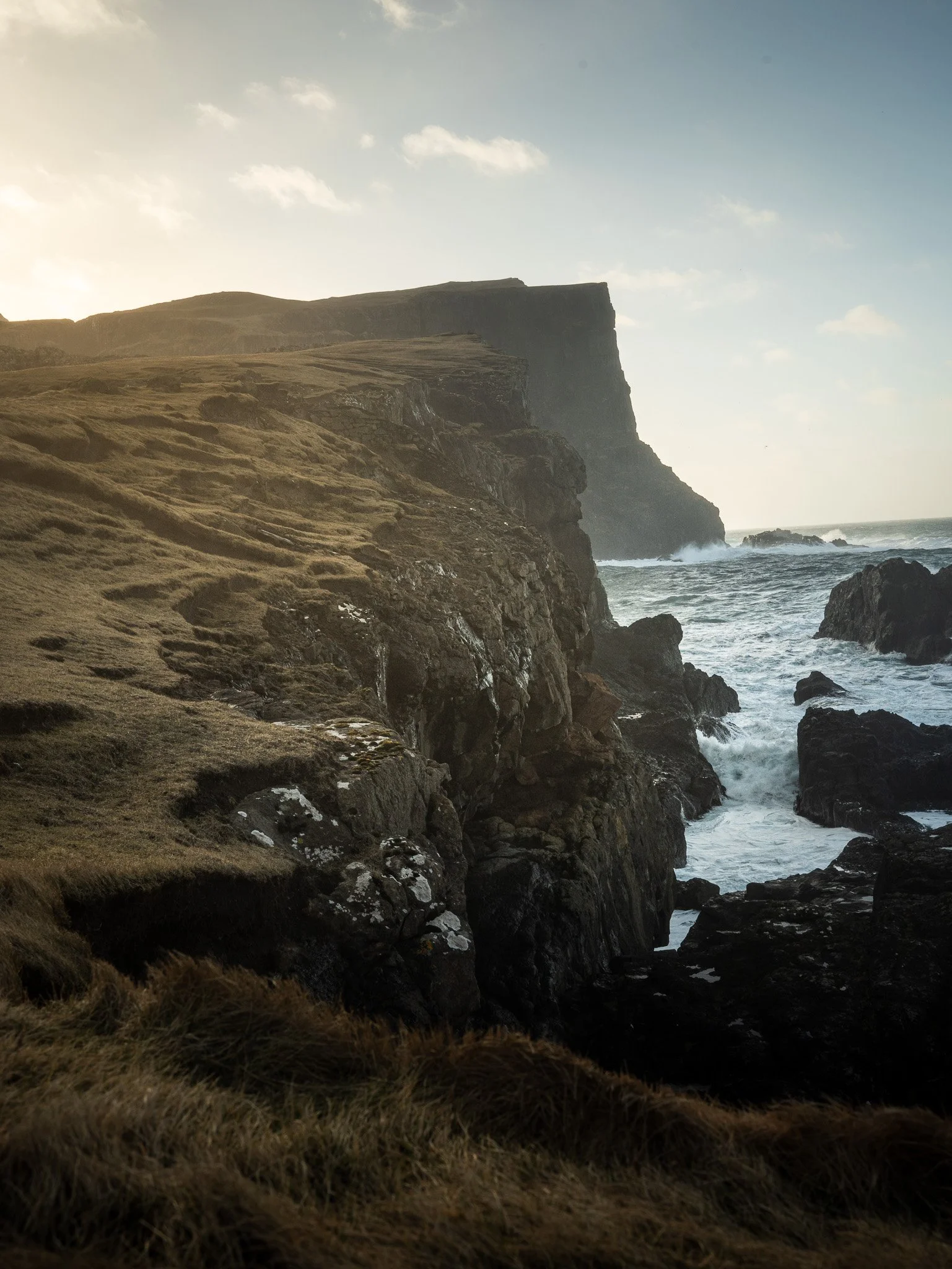
Ásmundarstakkur — The Hike I Could Not Stop Thinking About
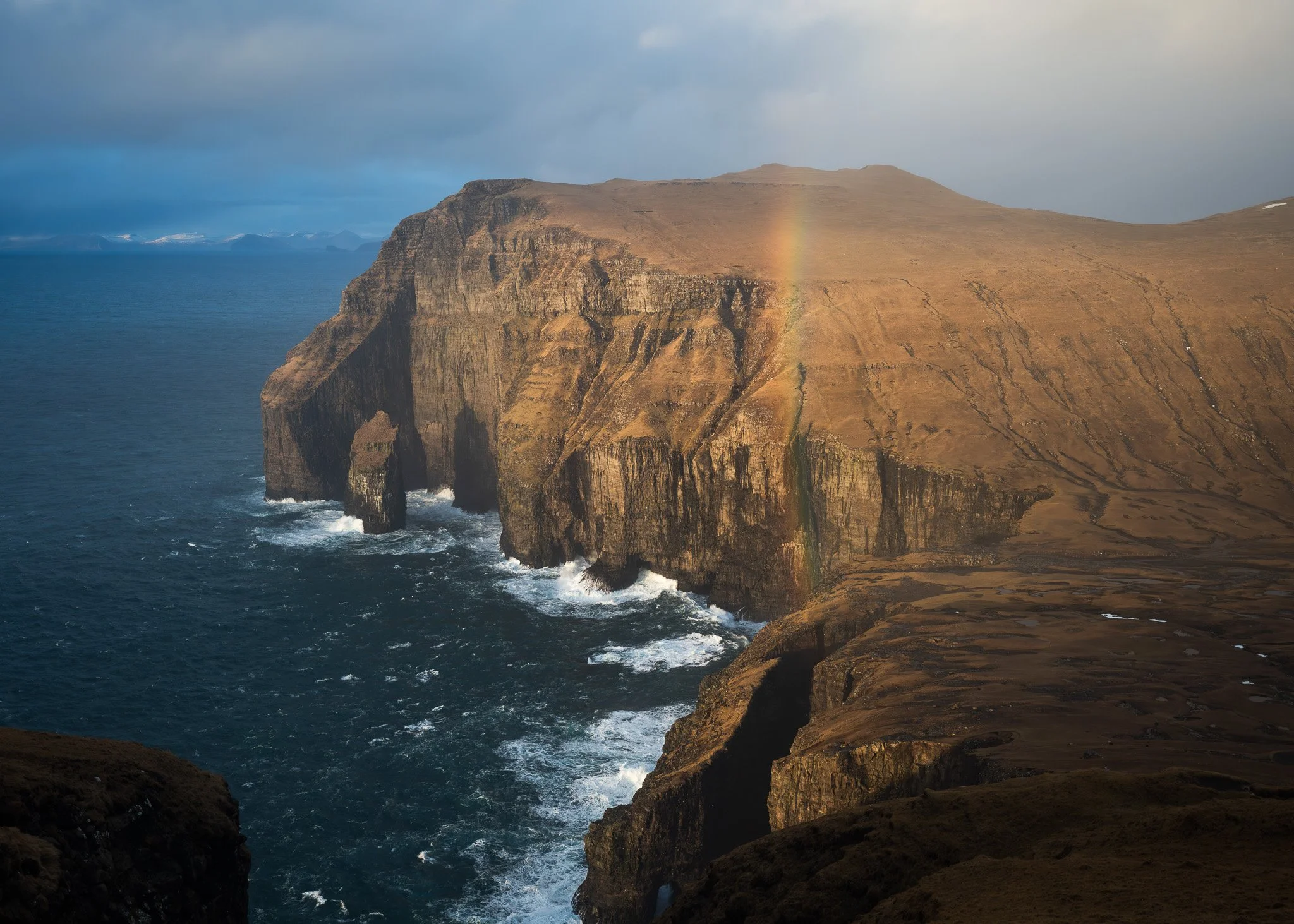
The view from the hike.
Out of all the hikes on Suðuroy, Ásmundarstakkur was probably the one that stayed with me the most afterward. There was something about the scale of the cliffs combined with the constantly changing weather that made the entire place feel almost unreal.
The hike begins near Sandvík and at first the landscape feels relatively soft and open with grassy hills, streams and sheep spread across the slopes. But the closer you get toward the coast, the more dramatic everything becomes. Suddenly enormous cliffs appear ahead of you, dropping vertically into the Atlantic while dark sea stacks rise from the ocean below.
The atmosphere here changes incredibly fast depending on weather. During my hike fog moved constantly across the cliffs, sometimes hiding the ocean completely before opening again a few minutes later. At one point strong wind pushed waterfalls upward along the cliffs which genuinely looked surreal.
The famous bridge near Ásmundarstakkur is also something many people struggle to find because it is surprisingly hidden within the landscape. The bridge itself is much smaller than most people expect and the area around it feels huge and open, especially during foggy conditions.
As you approach the coastal section of the trail, it is important to start looking carefully for the steel tension cable that helps guide hikers toward the correct area. The bridge sits near a narrow gorge close to the cliffs and because visibility can change quickly, it is very easy to walk past it without realizing.
Honestly, this is one of those locations where patience matters. The weather, fog and shifting light constantly change the entire landscape and rushing through it would completely miss the experience.
Photographically the area is unbelievable, especially from a drone. The combination of the bridge, steep cliffs and the Atlantic below creates one of the most dramatic aerial compositions anywhere in the Faroes.
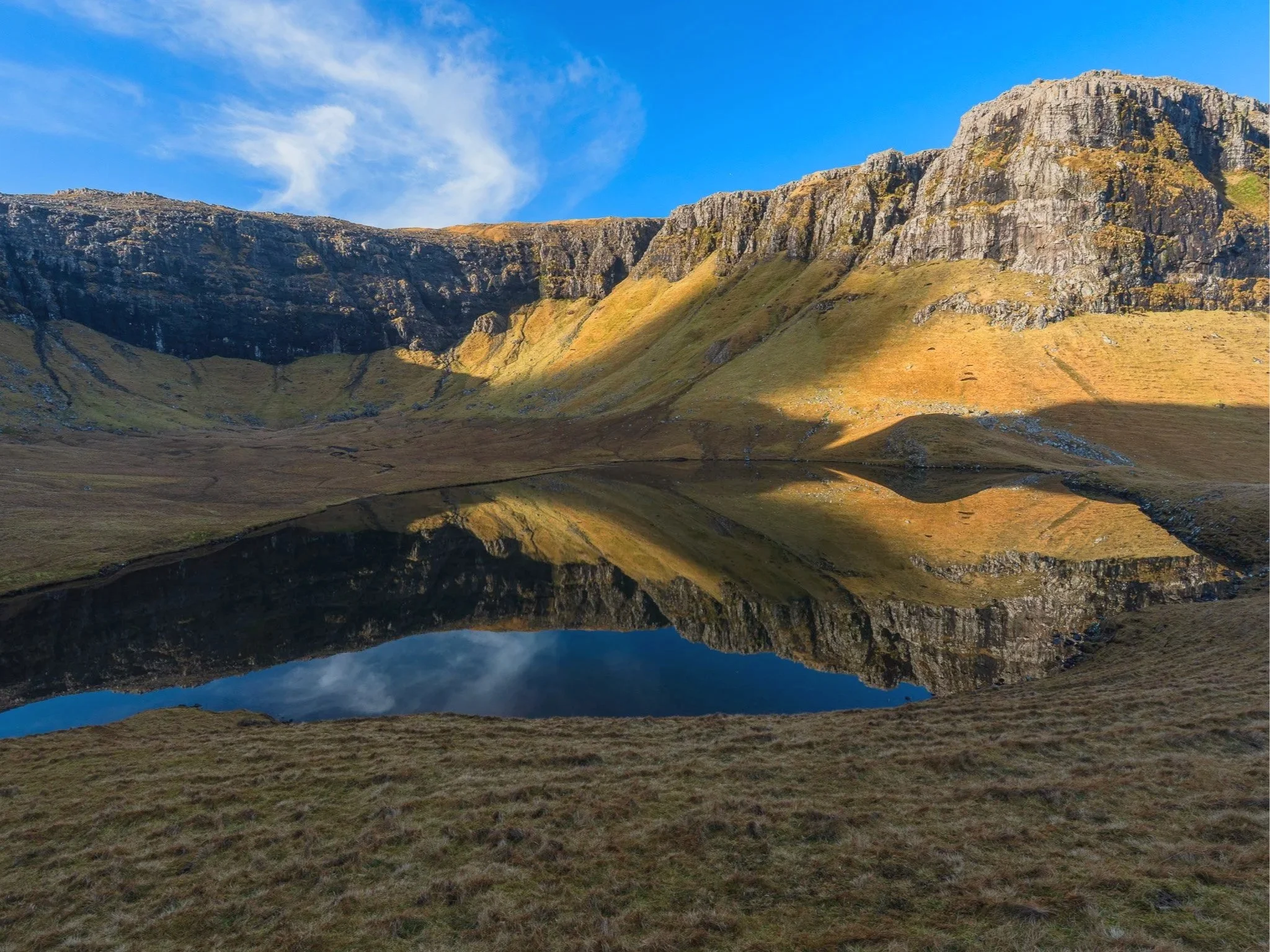
Hvannhagi
Hvannhagi — A Hidden World Inside The Mountains
Hvannhagi feels completely different from the exposed cliffs around Ásmundarstakkur. Instead of dramatic vertical coastlines, the trail leads into a hidden green valley shaped by glaciers thousands of years ago.
The hike starts above Tvøroyri and slowly climbs through the mountains before the landscape suddenly opens in front of you. And honestly, the first view into Hvannhagi is one of the most beautiful scenes on Suðuroy.
The lake sits perfectly inside the valley surrounded by steep green slopes while the ocean appears beyond the cliffs in the distance. Everything feels incredibly peaceful compared to the exposed coastal hikes elsewhere on the island.
Low clouds drifting through the valley make the place even more atmospheric and from above the shapes of the landscape become almost abstract. Drone photography here is absolutely incredible because the entire valley reveals itself properly only from the air.
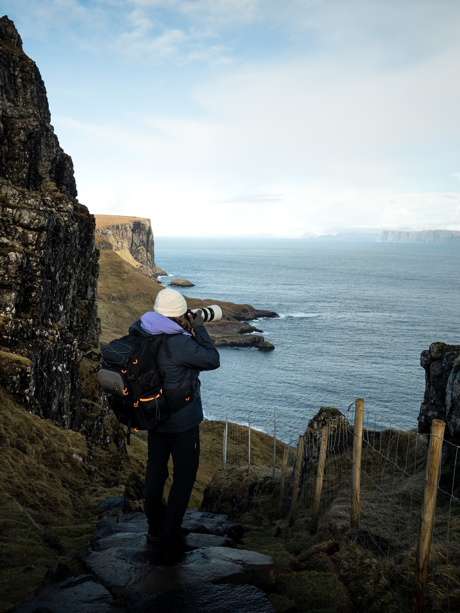


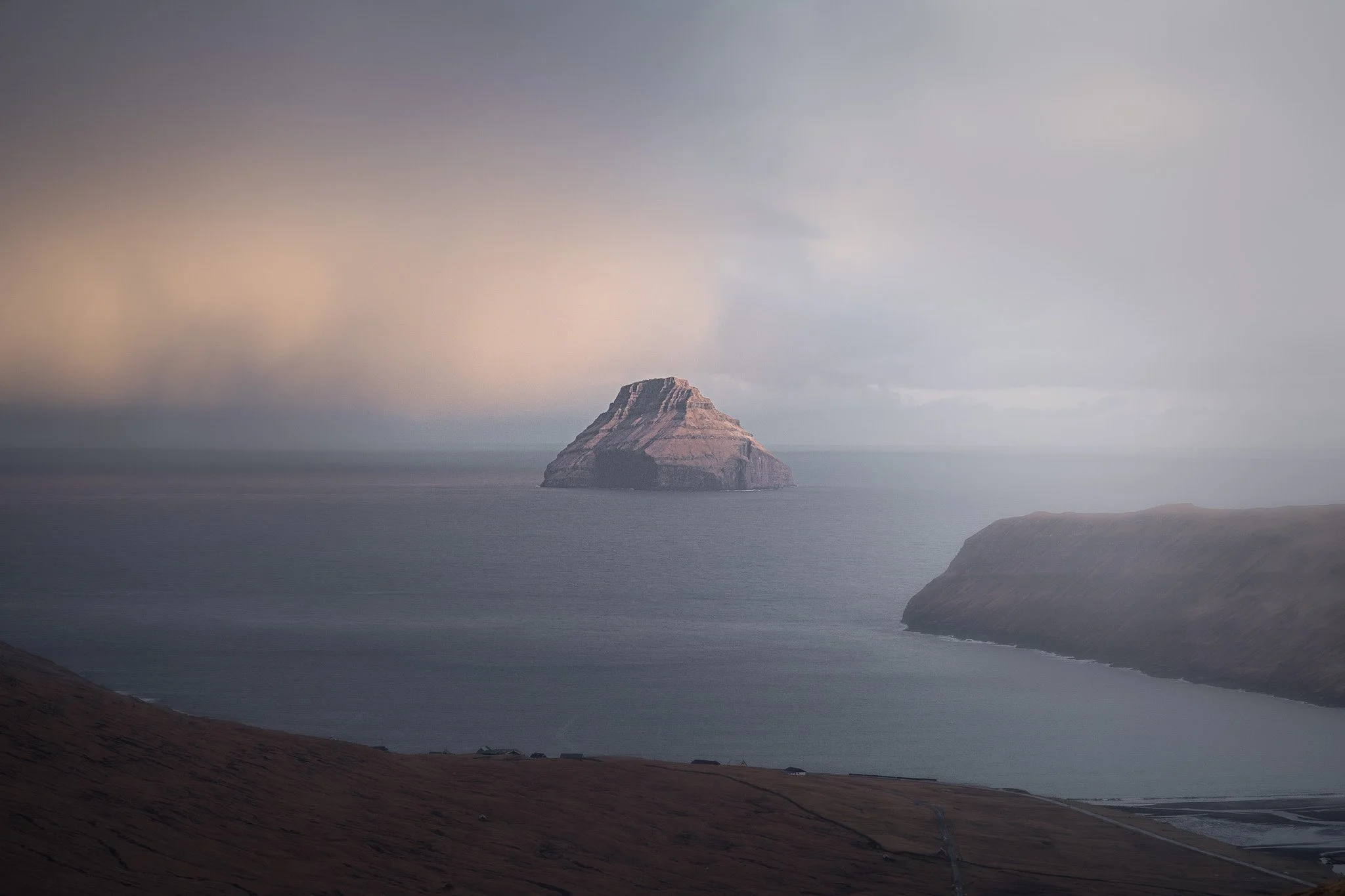
View on the Litla Dimmun from the North of island
Photographing Suðuroy
Suðuroy is one of those places where weather matters more than almost anywhere else I have photographed. Perfect blue skies are honestly less interesting here because the island becomes truly magical once fog, storms and dramatic light enter the scene.
Some of my favorite moments happened immediately after heavy rain when sunlight suddenly broke through the clouds for maybe twenty seconds before everything disappeared into mist again. The constantly changing atmosphere means every location can look completely different within minutes.
Drone photography on Suðuroy is absolutely incredible but conditions deserve respect because wind near the cliffs changes rapidly and fog can move in without warning. The landscapes look unbelievable from above though, especially around Ásmundarstakkur, Hvannhagi and the roads near Beinisvørð where the scale of the cliffs and valleys becomes fully visible.
Driving around the island is relatively easy compared to Icelandic Highlands, but weather conditions can still become challenging quickly. Fog sometimes reduces visibility almost completely and sheep appear everywhere on the roads, especially during evenings.
But honestly, part of what makes Suðuroy so special is exactly that unpredictability. The island constantly feels alive, shaped by changing weather and Atlantic light, and every drive or hike turns into something slightly different than expected.
One thing is very important to remember. Sunrise is always on the east side and the sunset on the west side. If you want to photograph the east side in the evening - it will not work because sun is completely blocked by the high cliffs :)