Maelifell. Icelandic Highlands Adventure. Part 1
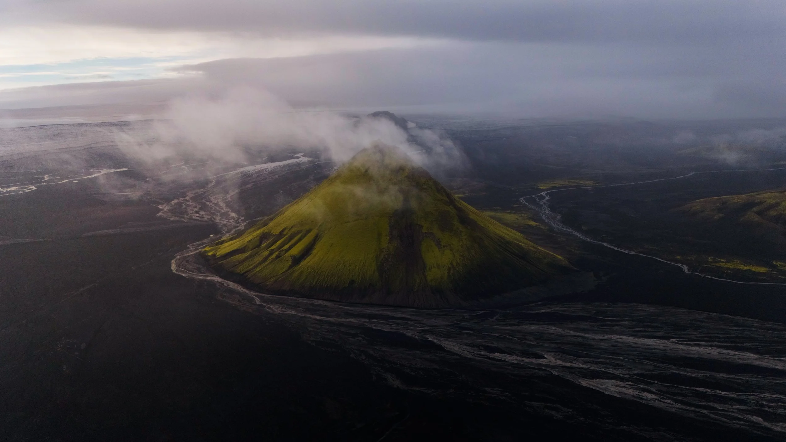
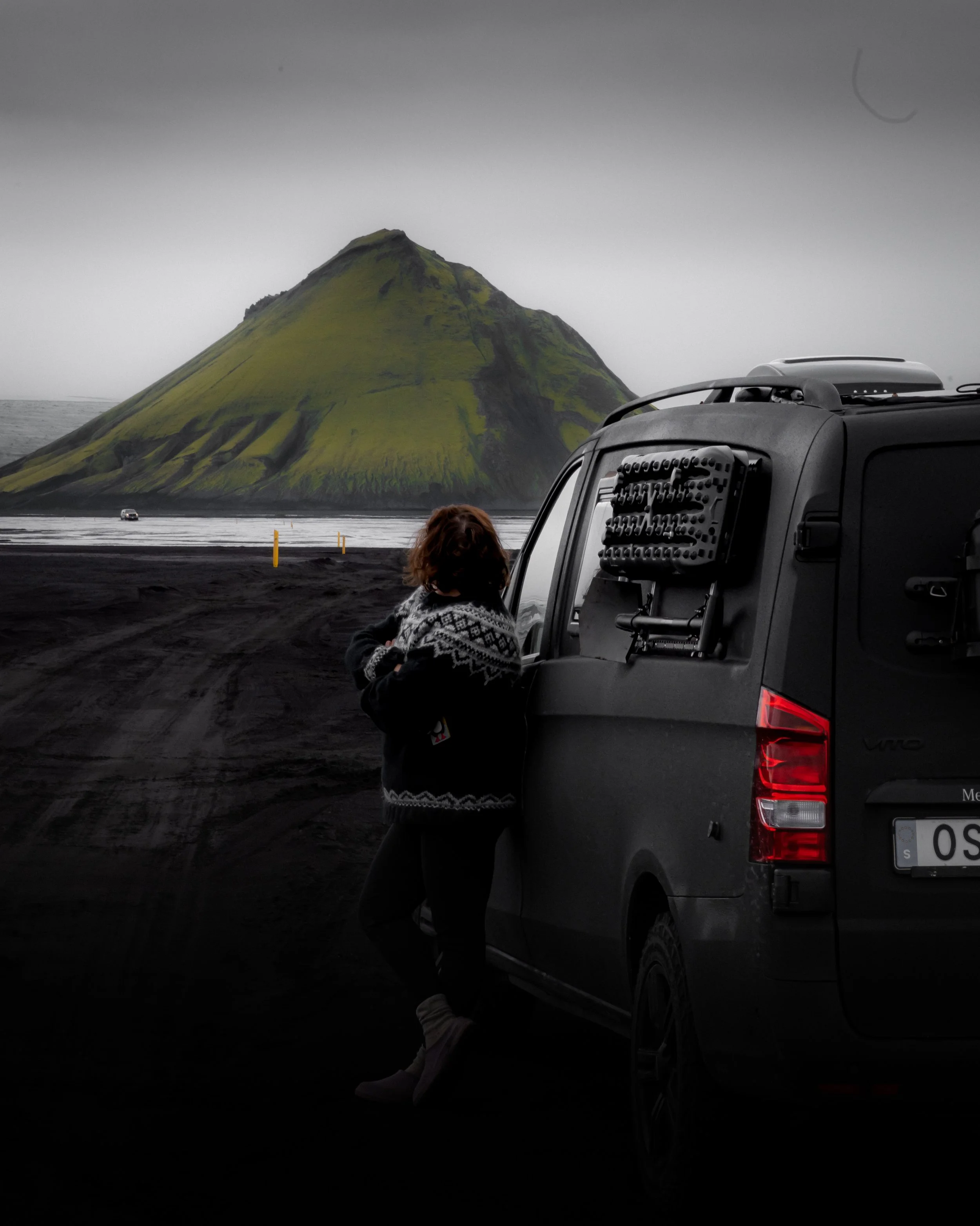
Maelifell was one of those places in Iceland that did not feel real even when I was standing there.
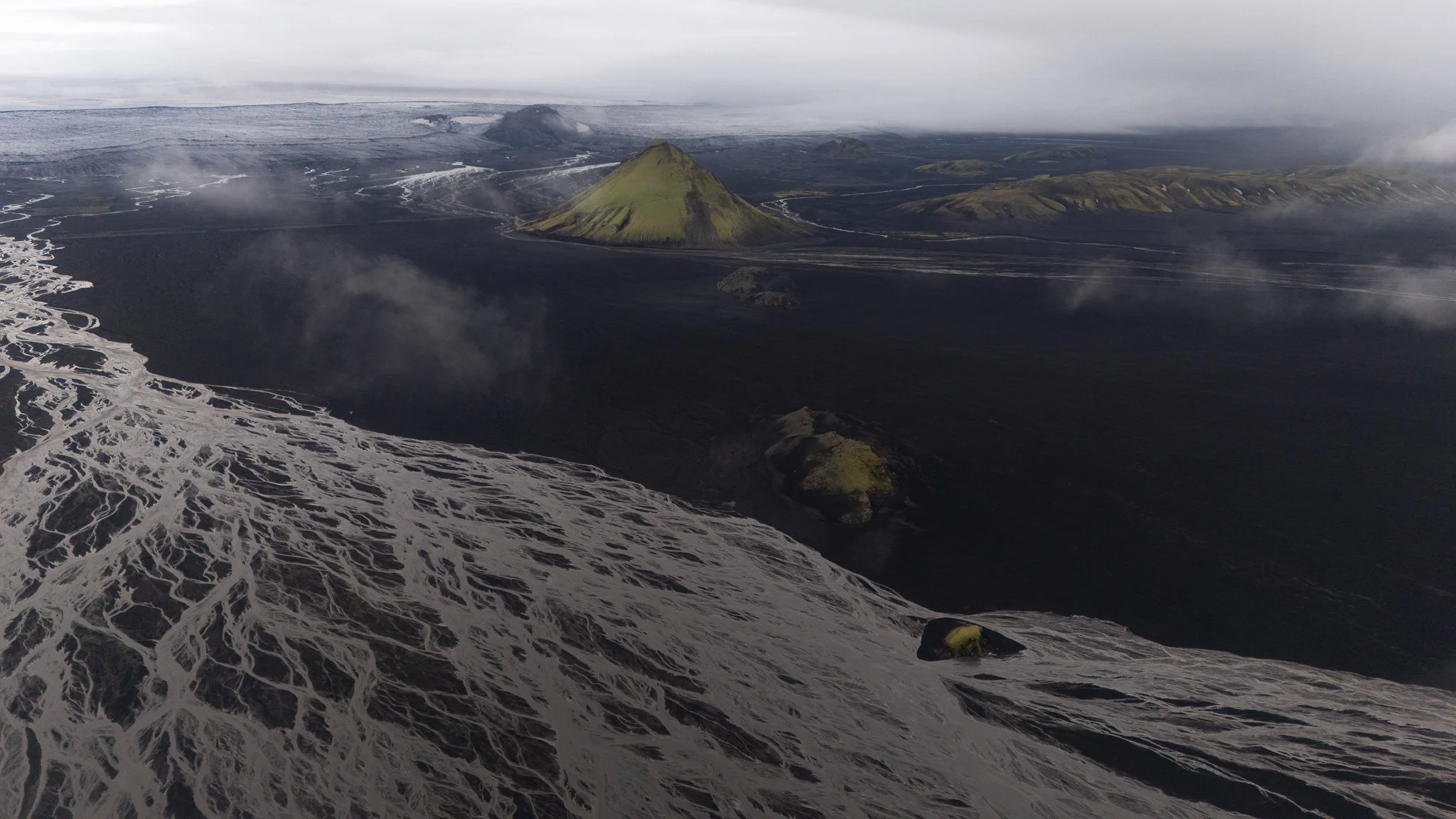
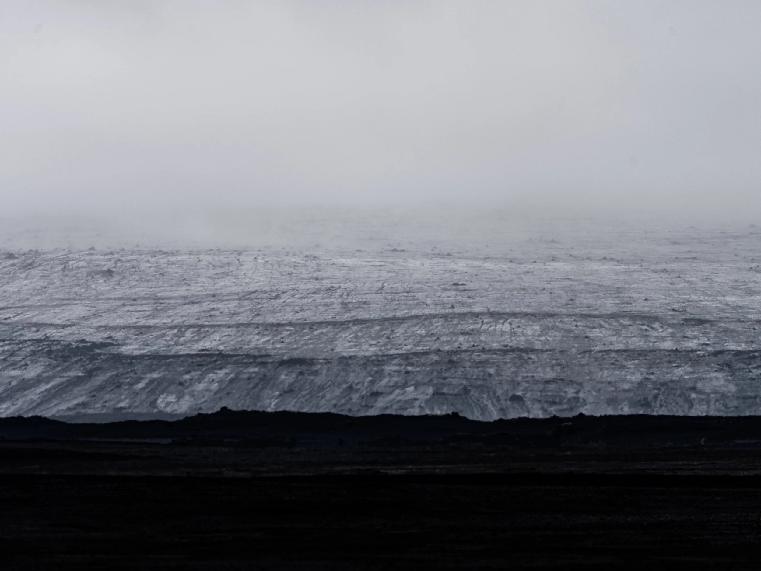
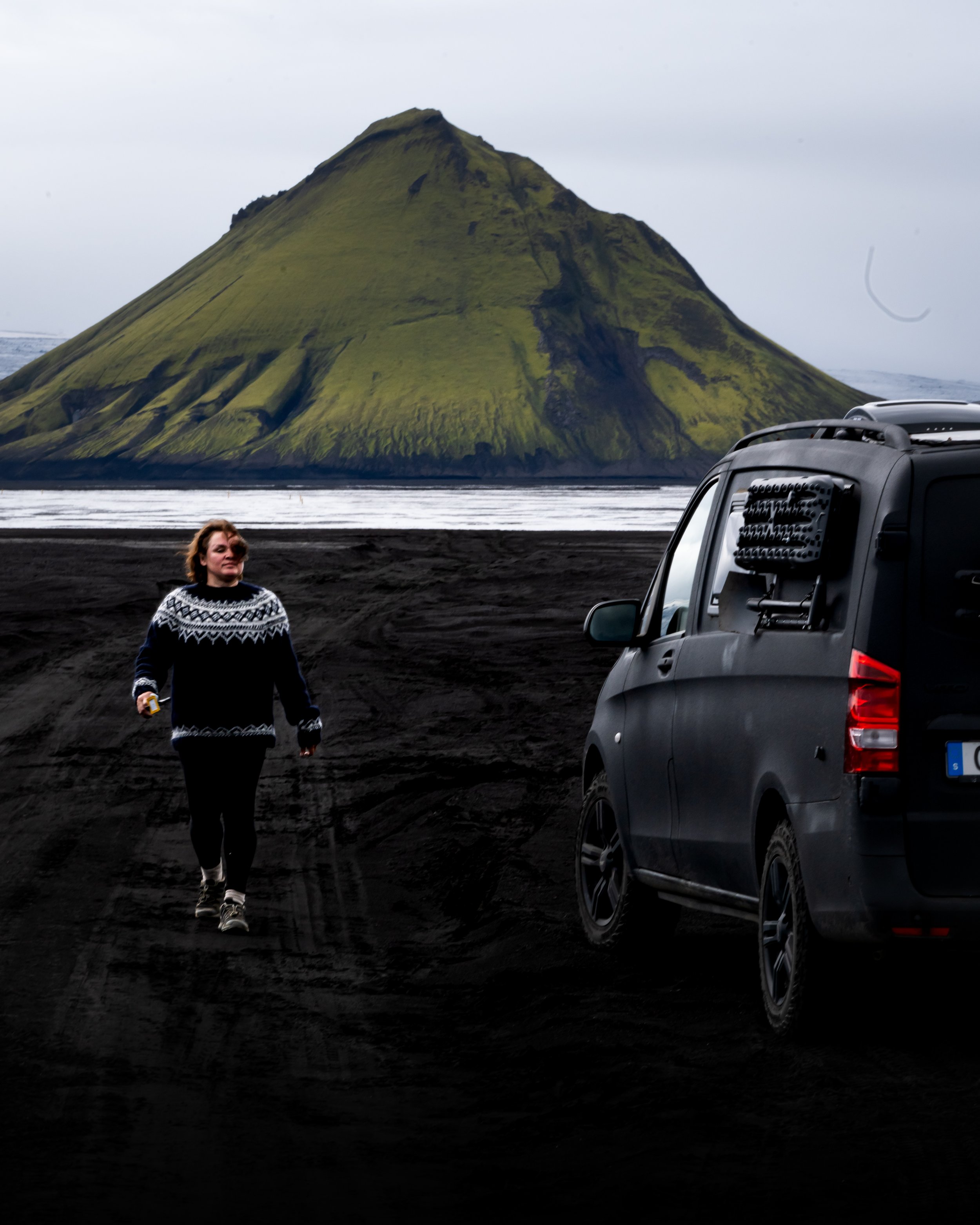
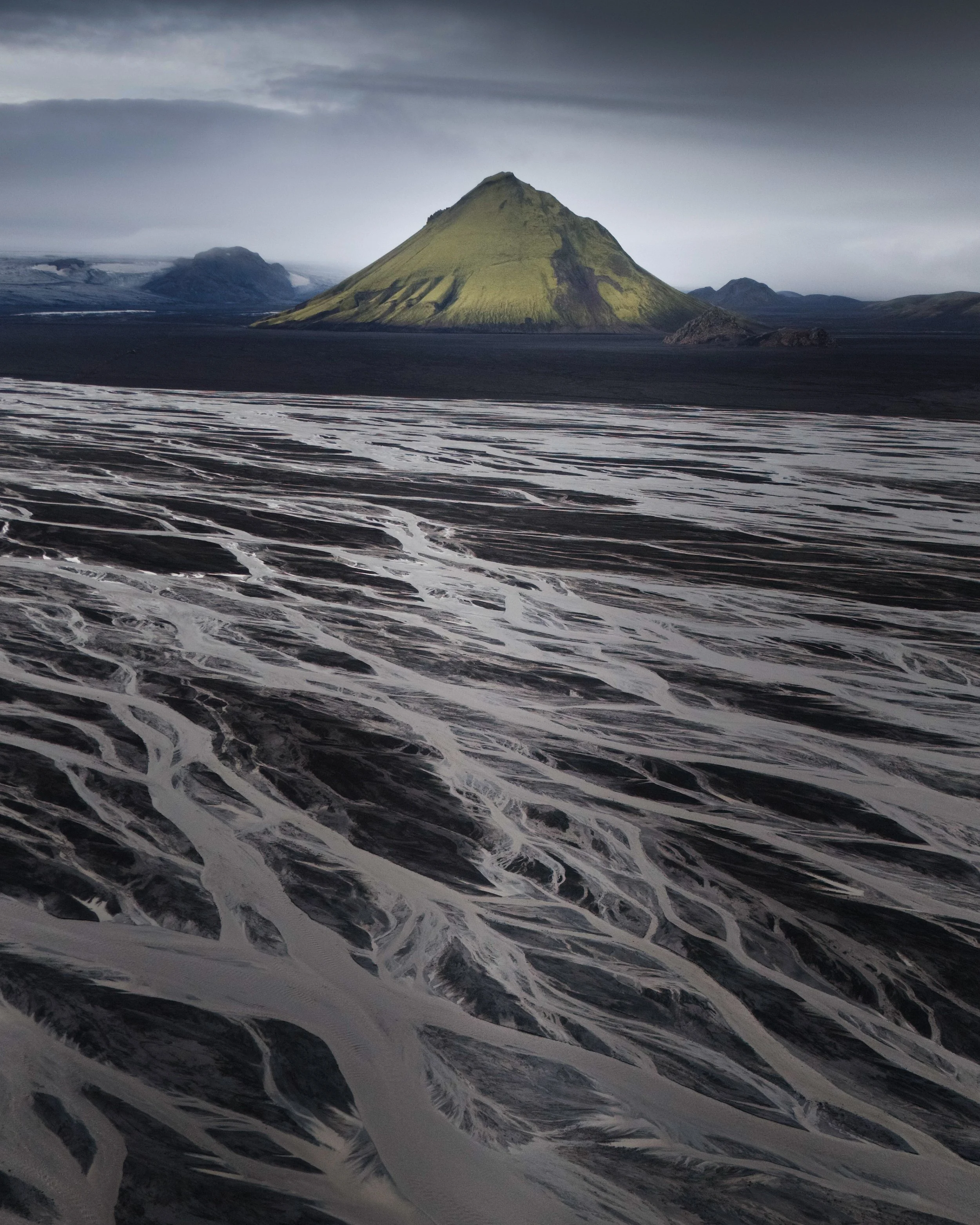
The mountain is this perfect green volcano standing completely alone in endless black volcanic sand. Fog moves around it all the time, rivers cut through the landscape, and everything feels wild in the most beautiful way.
What I loved most though was not only the mountain itself — it was the whole drive there, what is simply epic!
Photographed and written by Julia Mustonen-Dahlkvist
Best road to Maelifell and how to Reach the F232
Maelifell is located in the southern Highlands of Iceland, close to the Mýrdalsjökull glacier. The route most people use starts from Iceland’s main Ring Road, Road 1, on the south coast.
If you are driving from Reykjavík towards Vík, you continue east past Hvolsvöllur and the famous waterfalls on the south coast. Near Álftaver, you leave Road 1 and head toward Road 209, which eventually connects to the Highland roads leading toward the F232.
This is where the landscape really starts changing.
At first the road still feels relatively normal, but after a while you begin entering the true Highland terrain. The roads become rougher, dustier, rockier, and you quickly understand why regular cars are not allowed there.
From there, the F232 leads toward Maelifell and the famous crossing near Bláfjallafoss waterfall.
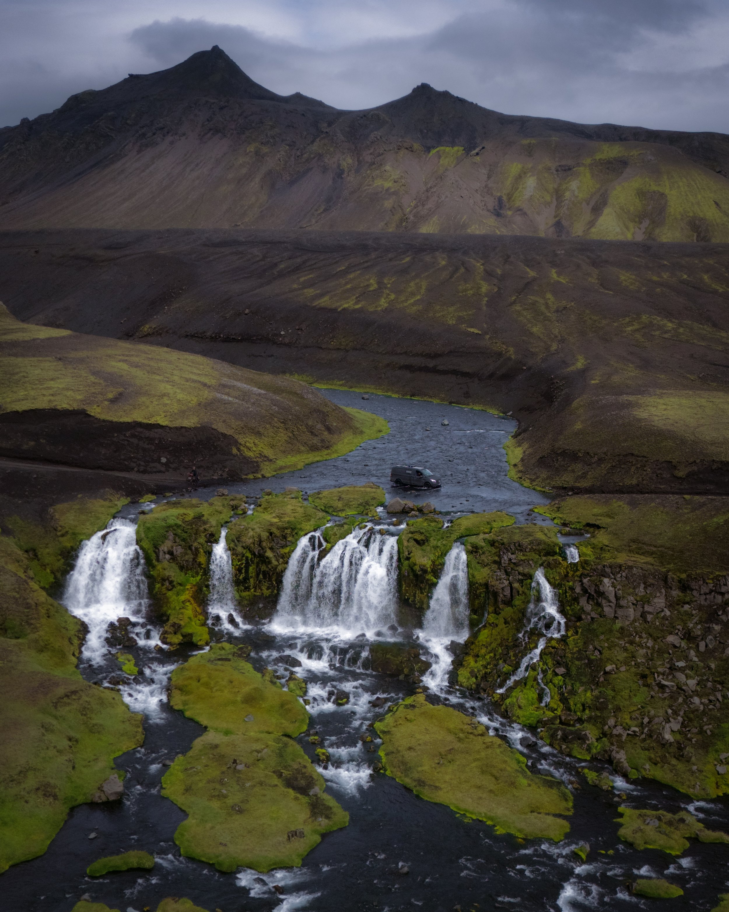
I personally think this route is one of the best introductions to Icelandic Highland driving because it feels adventurous without immediately throwing you into the most extreme river crossings in the country. Waterfall looks very adventurous but its not deep.
You still absolutely need a proper 4x4 vehicle, but compared to routes deeper along the F210, the F232 is often considered the more manageable option during good summer conditions.
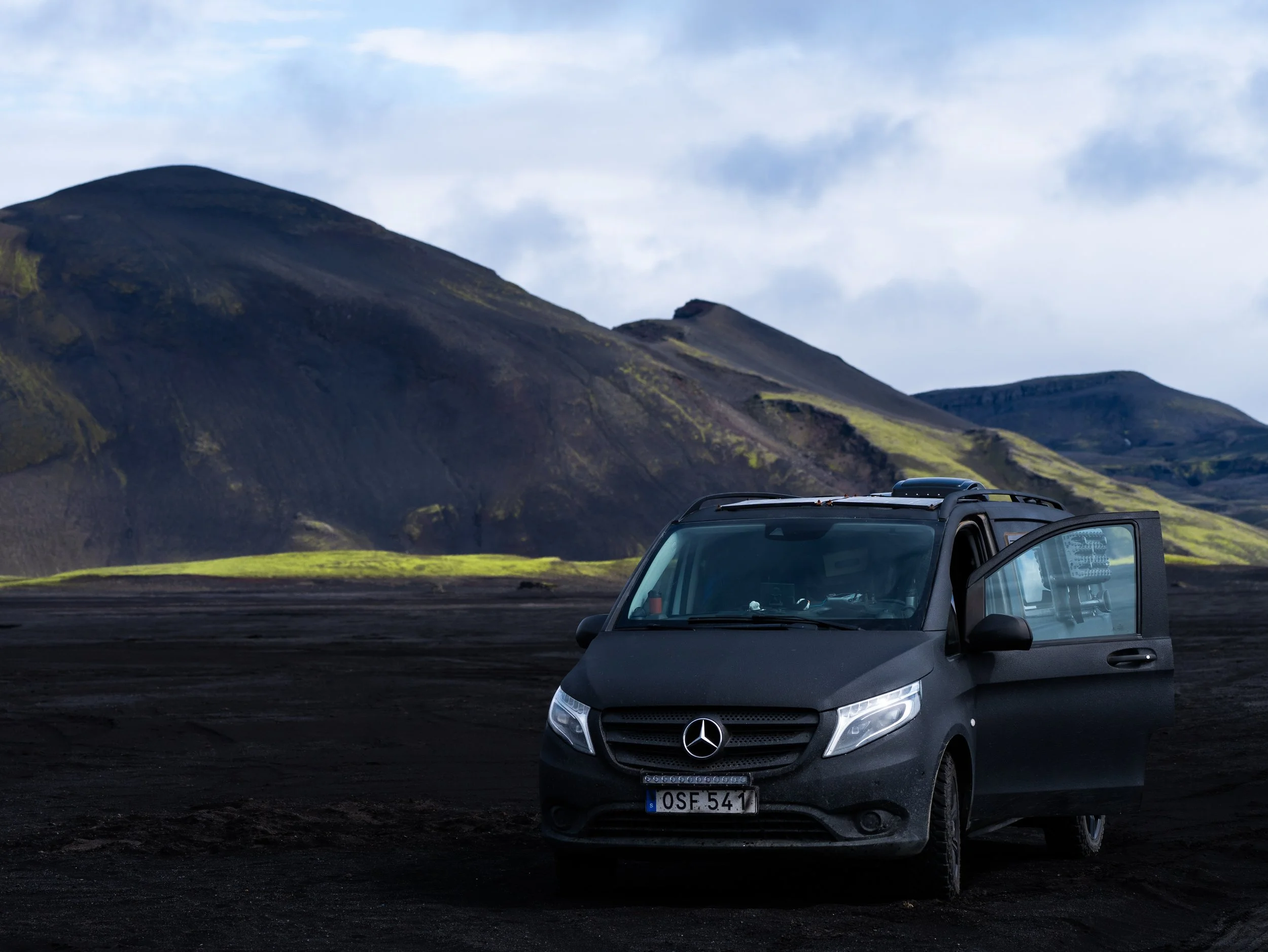
Why F210 Is Much More Difficult
A lot of people see the F210 on maps and think:
“Oh, maybe we just continue.”
But the F210 is a completely different experience.
It is one of the most difficult and unpredictable Highland roads in southern Iceland.
The rivers there are often:
deeper
wider
faster
constantly changing
Some crossings have soft bottoms where cars suddenly sink deeper than expected. Others split into multiple channels that change direction daily.
Even experienced Highland drivers sometimes turn around there.
Distance means nothing in Icelandic Highlands.
Road conditions mean everything.
The only crossing on the F232
Bláfjallafoss – The Famous Waterfall Crossing on F232
Probably the most talked-about part of the F232 is the crossing at Bláfjallafoss.
And honestly, it deserves the attention because it is one of the coolest road crossings I have ever experienced.
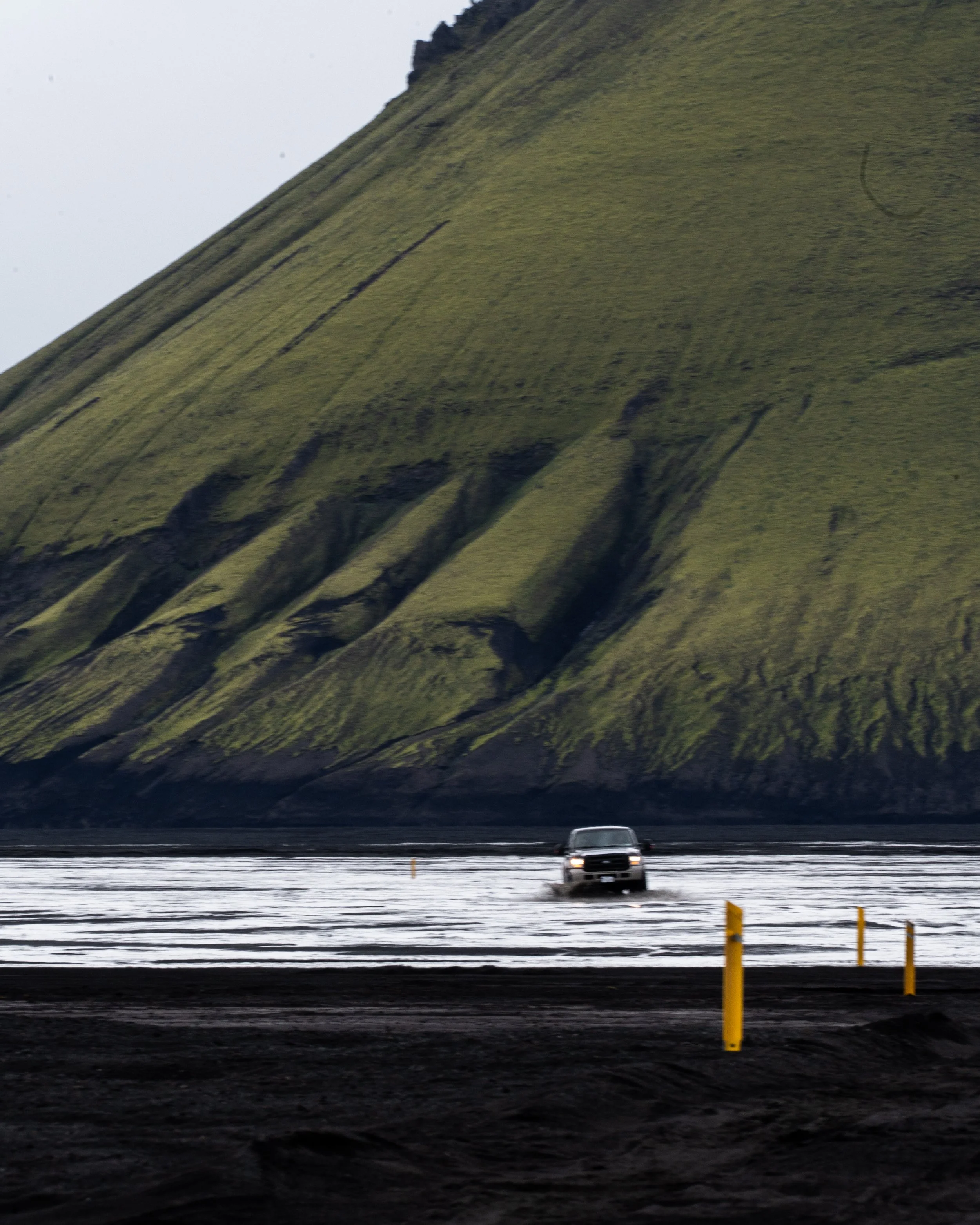
You arrive at this dramatic canyon area where the waterfall crashes down through dark volcanic rock, and right beside it is the river crossing itself. Seeing cars slowly drive through the water next to a waterfall feels completely surreal the first time.
What I appreciated though is that this crossing actually felt understandable once you are there in person. Online photos often make it look more terrifying than it really is during normal conditions.
The important thing is that this is an official crossing on the F232 route, meaning it is regularly used during the Highland season. In good weather, many normal 4x4 SUVs manage it without problems.
Of course, conditions in Iceland always change and you should never rush into any river crossing. Sometimes the ramps entering and exiting the river become rougher after heavy water flow, and every driver should stop and inspect the crossing first.
But compared to some of the enormous glacier rivers deeper into the Highlands, this crossing actually felt quite reasonable and honestly very exciting in the best way.
I think this is exactly why the F232 has become such a popular route for photographers and adventure travelers.
You get the feeling of real Highland driving without immediately needing to tackle the wildest crossings Iceland has to offer.
The Point Where Many People Turn Around
One thing I want to explain properly, because I think many people misunderstand this online, is that you do not need to continue through the biggest rivers to have an incredible experience at Maelifell.
There is a point before continuing further east on the F210 where many travelers stop, explore the area, take photos, fly drones and simply enjoy the atmosphere before deciding whether to continue or not.
And honestly, I completely understand why.
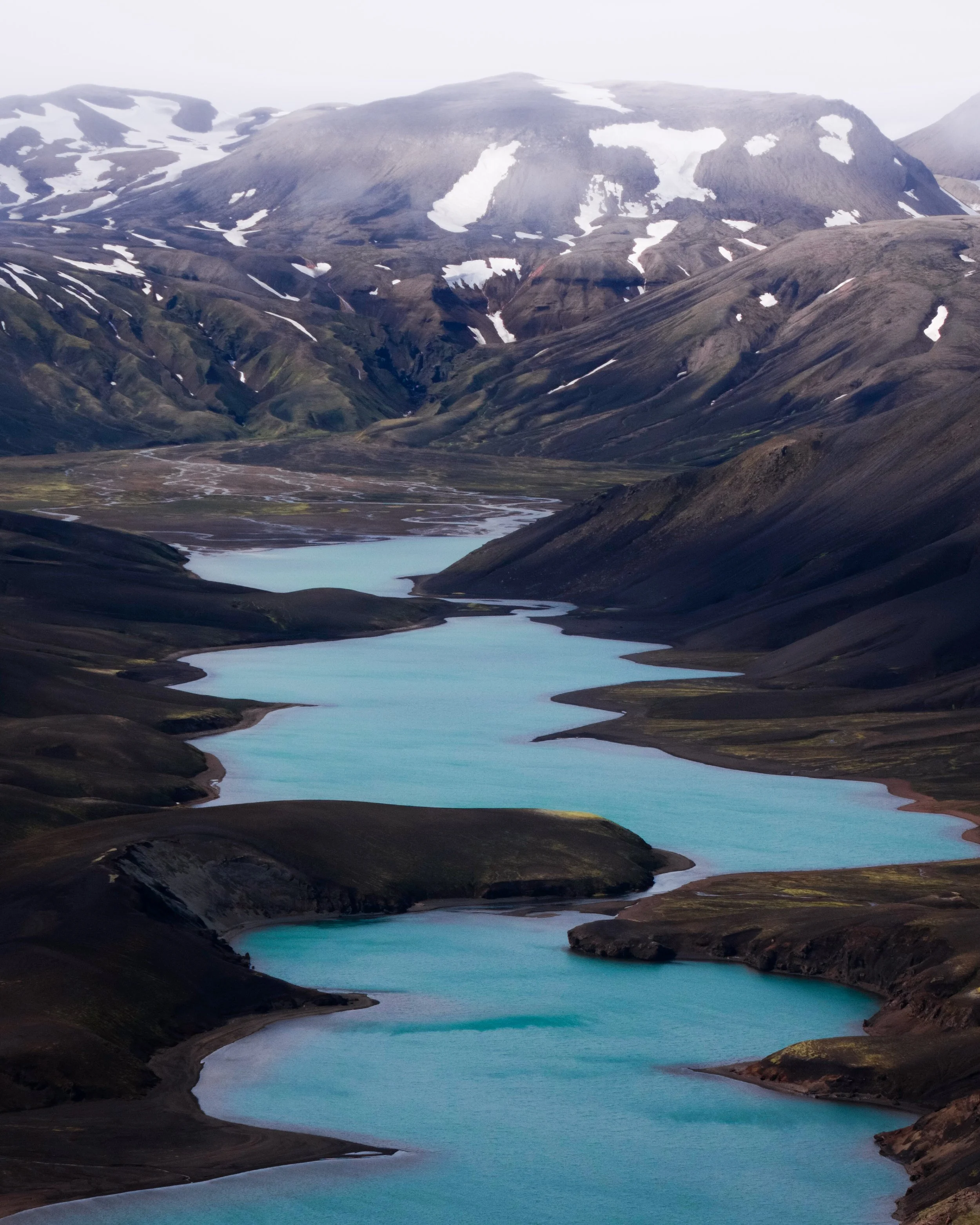
By this point, you already feel fully inside the Highlands. You already have the dramatic scenery, the black sand deserts, glacier rivers, volcanic landscapes and incredible views toward Maelifell.
Continuing further east is where the rivers start becoming significantly larger and much more unpredictable depending on weather and glacier melt. Some crossings can become extremely wide with soft volcanic sand underneath, and this is usually where only larger modified vehicles continue comfortably.
But the beautiful thing is that you really do not feel like you are “missing” the experience by stopping earlier.
The adventure is already there long before the most difficult crossings begin.
Rauðibotn Crater – One of the Most Underrated Stops Nearby
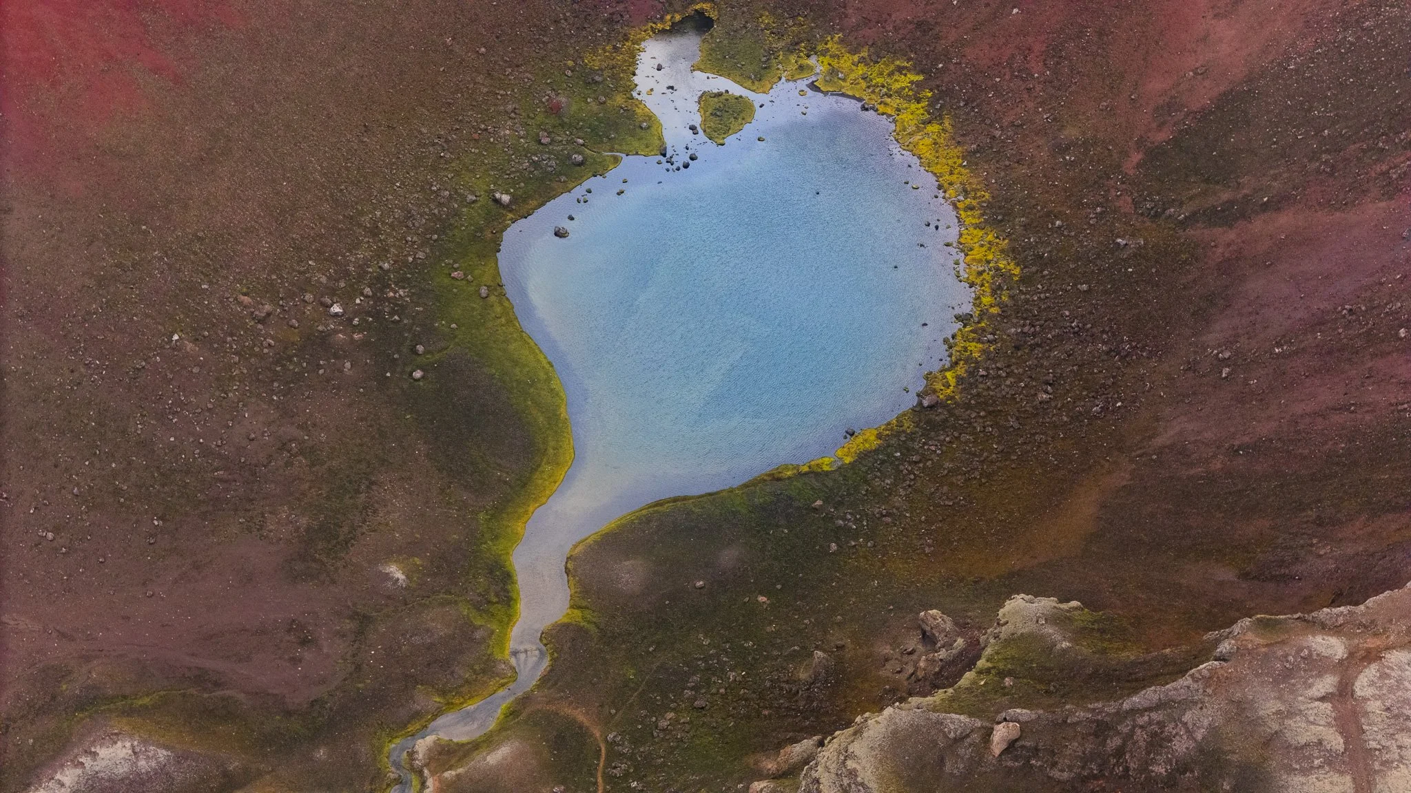
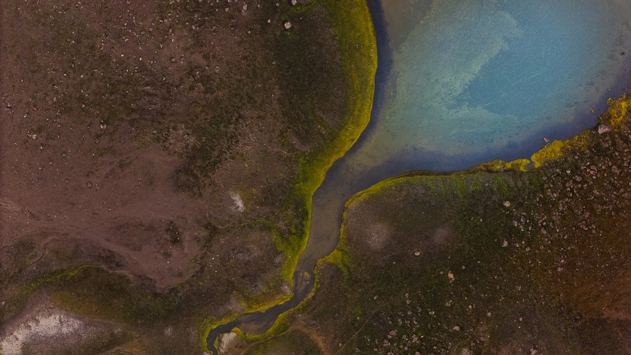
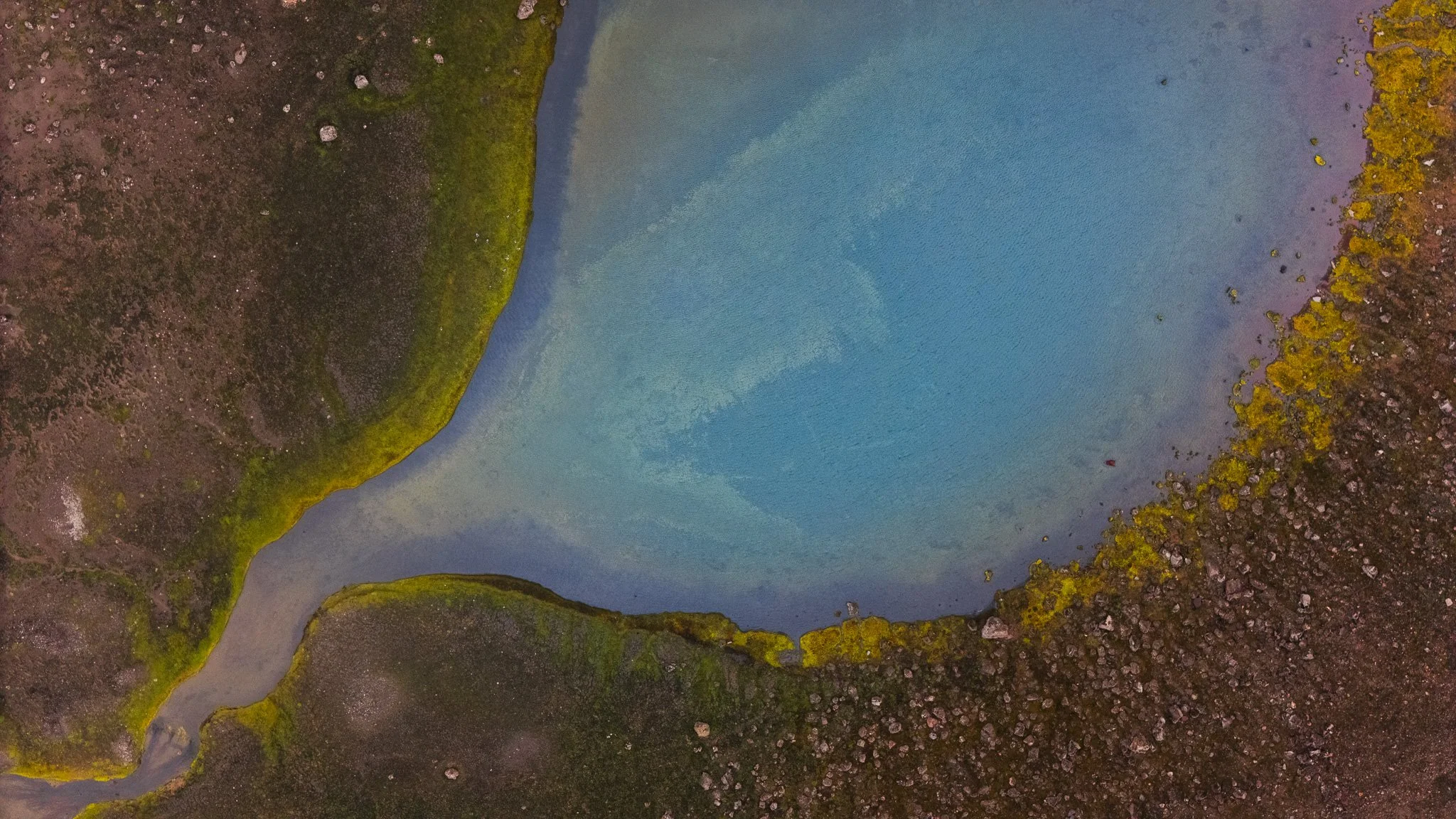
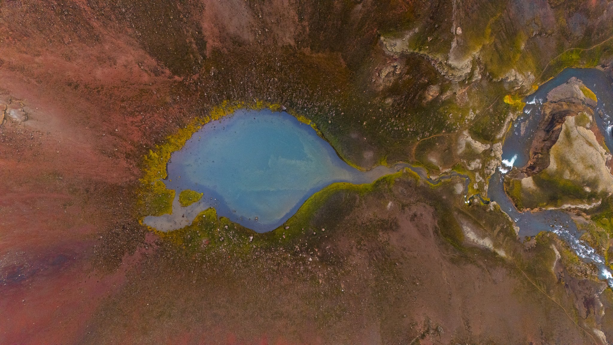
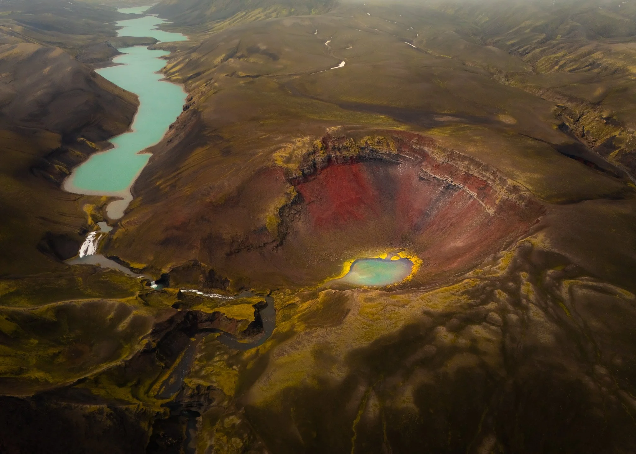
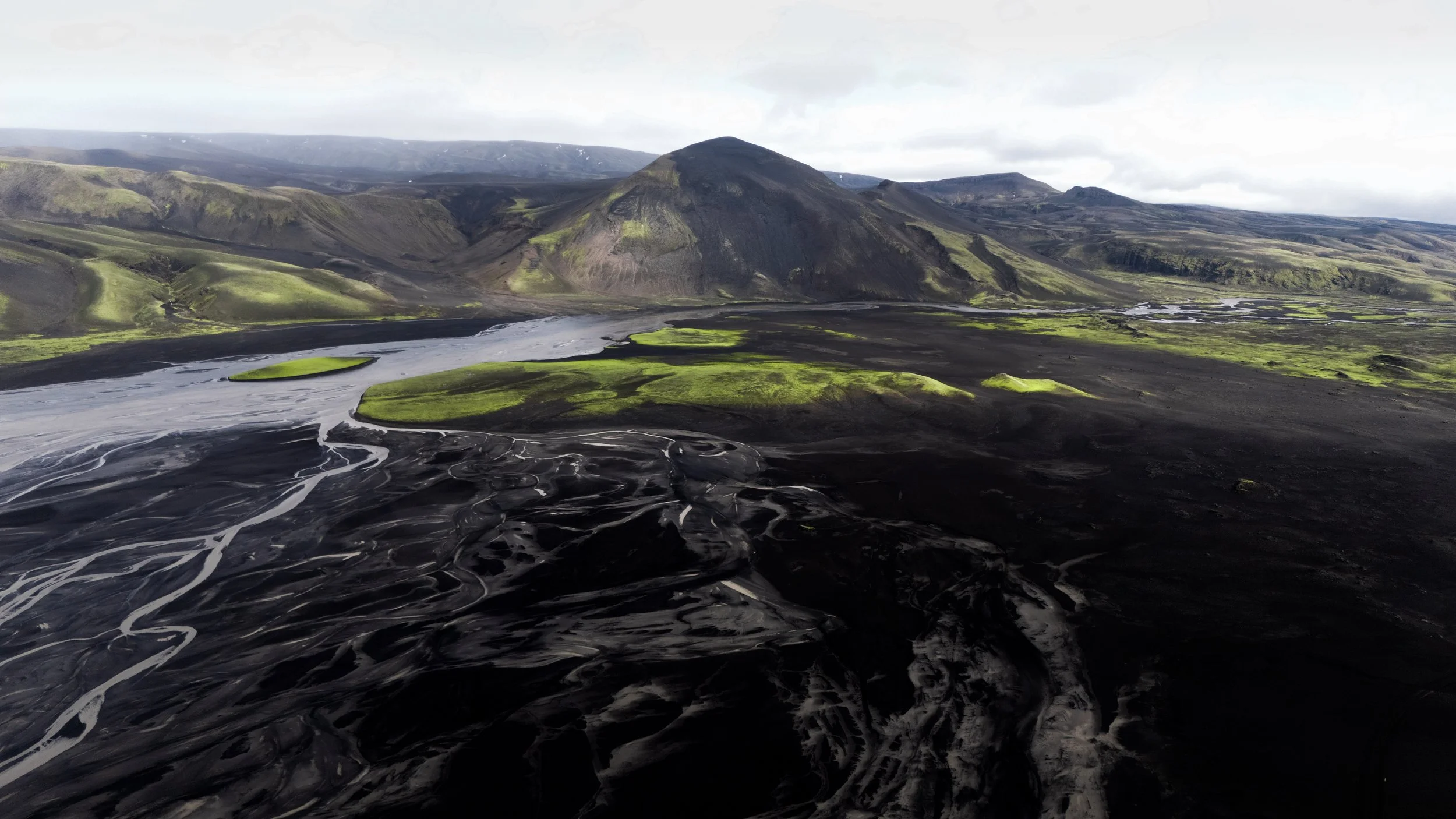
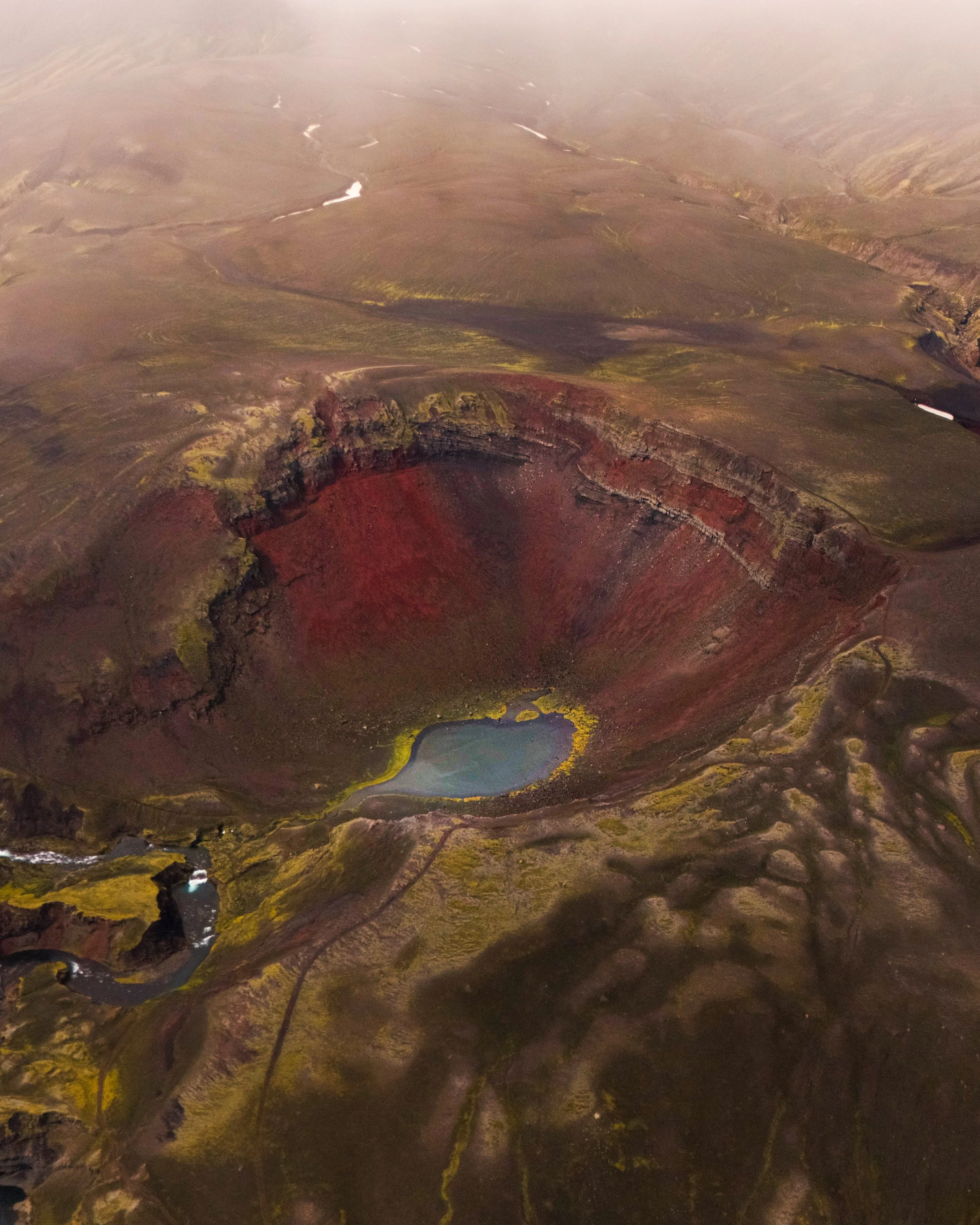
Close to Maelifell there is also Rauðibotn crater, and honestly this place completely surprised me.
The colors almost look fake.
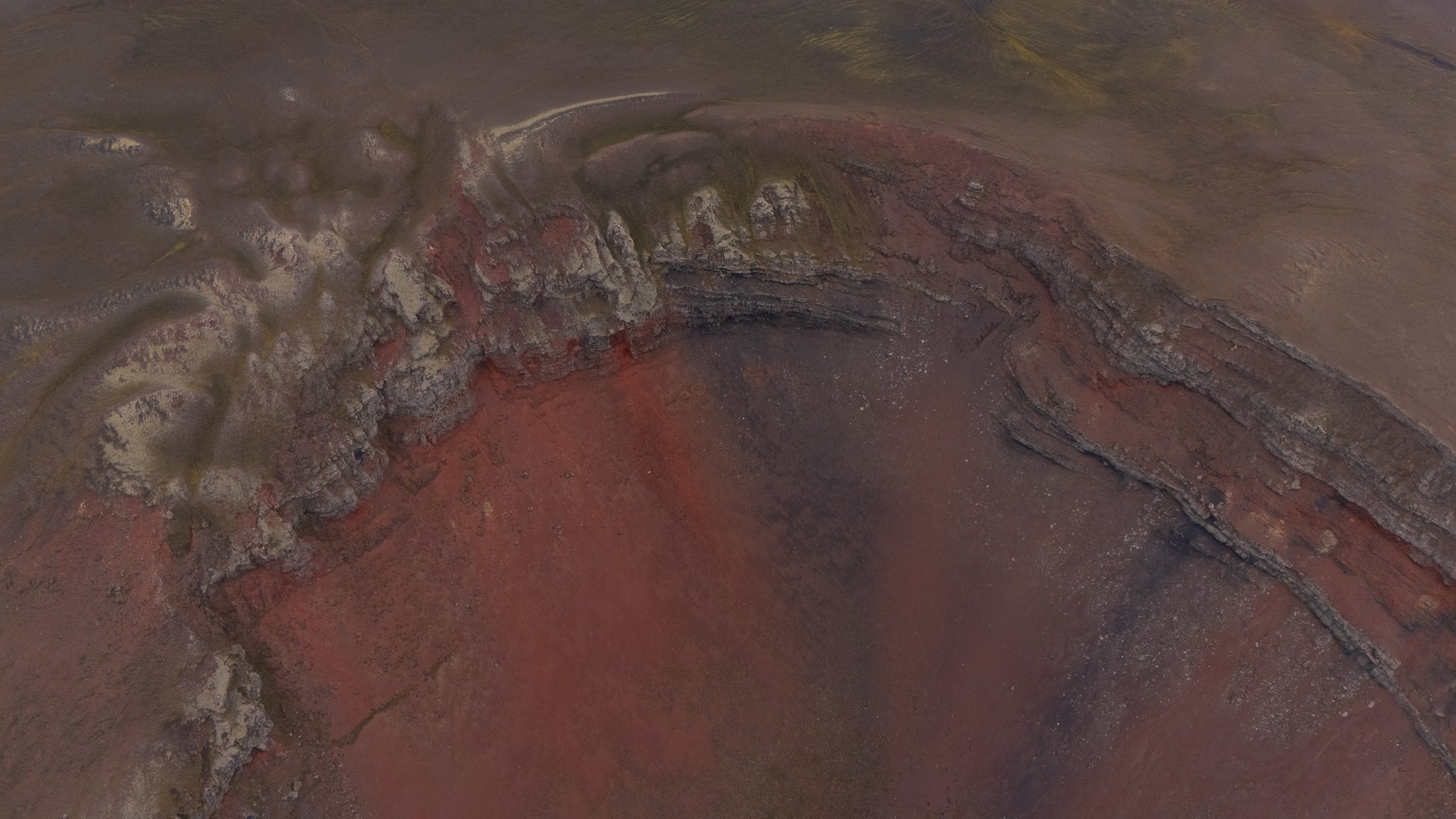
The crater itself has these deep reddish volcanic tones, bright blue water inside, black sands surrounding it and often moody clouds moving across the sky. It feels incredibly untouched and cinematic, especially in cloudy weather.
For photography this area is absolutely amazing because the colors are so dramatic and unusual.
And what I liked most is that you can usually experience Rauðibotn without needing to continue into the largest river crossings further east.
So even if you decide not to push deeper into the Highlands, you still get an unforgettable adventure.
Rauðibotn
Photography in the Highlands
As a photography destination, this area honestly feels endless.
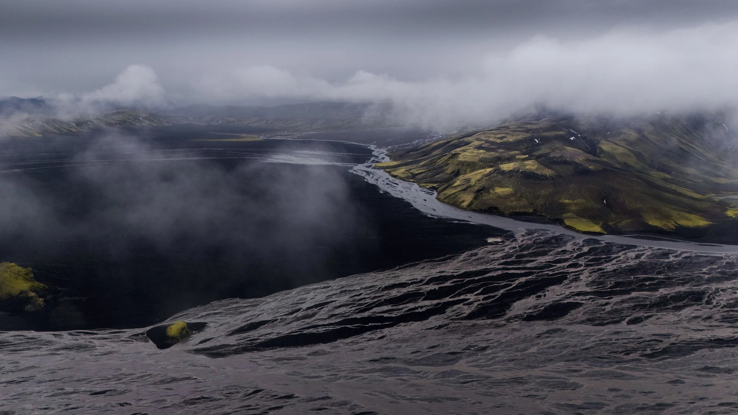
What makes Maelifell so special for photos is not only the mountain itself, but the atmosphere around it. The weather changes constantly, and every change completely transforms the landscape.
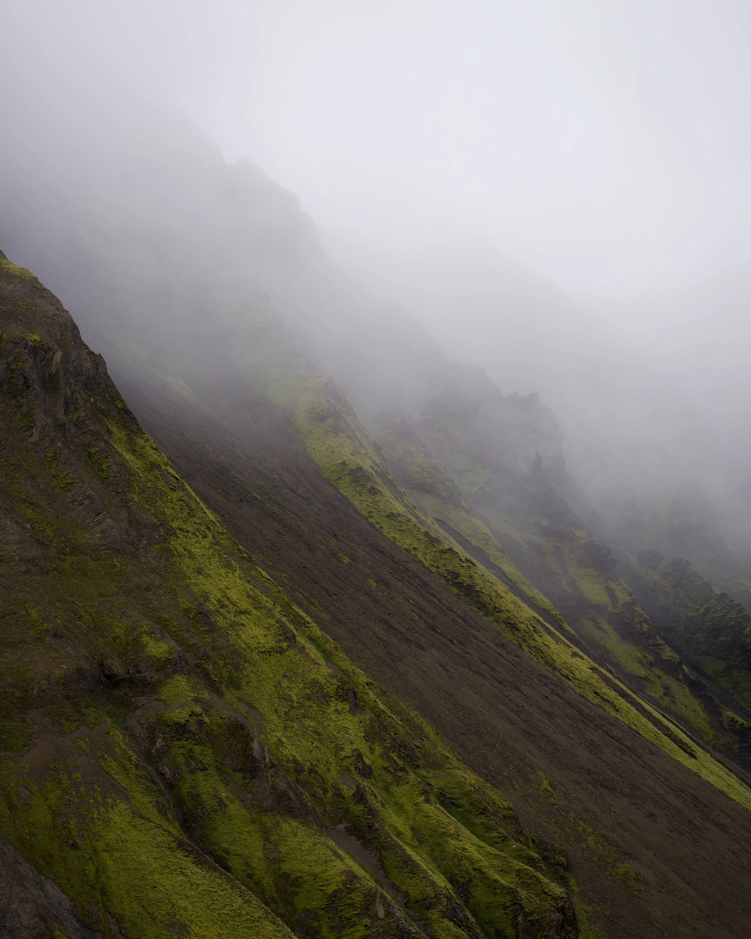
Fog creates mood.
Rain darkens the volcanic sand.
Sunlight suddenly makes the moss glow bright green.
Sometimes the best photos happen during the worst weather.
I found myself photographing tiny details just as much as the big landscapes — rivers cutting through black sand, tire tracks disappearing into fog, tiny cars surrounded by massive empty space.
The Highlands naturally create scale in photos in a way very few places do.
Drone Photography Around Maelifell
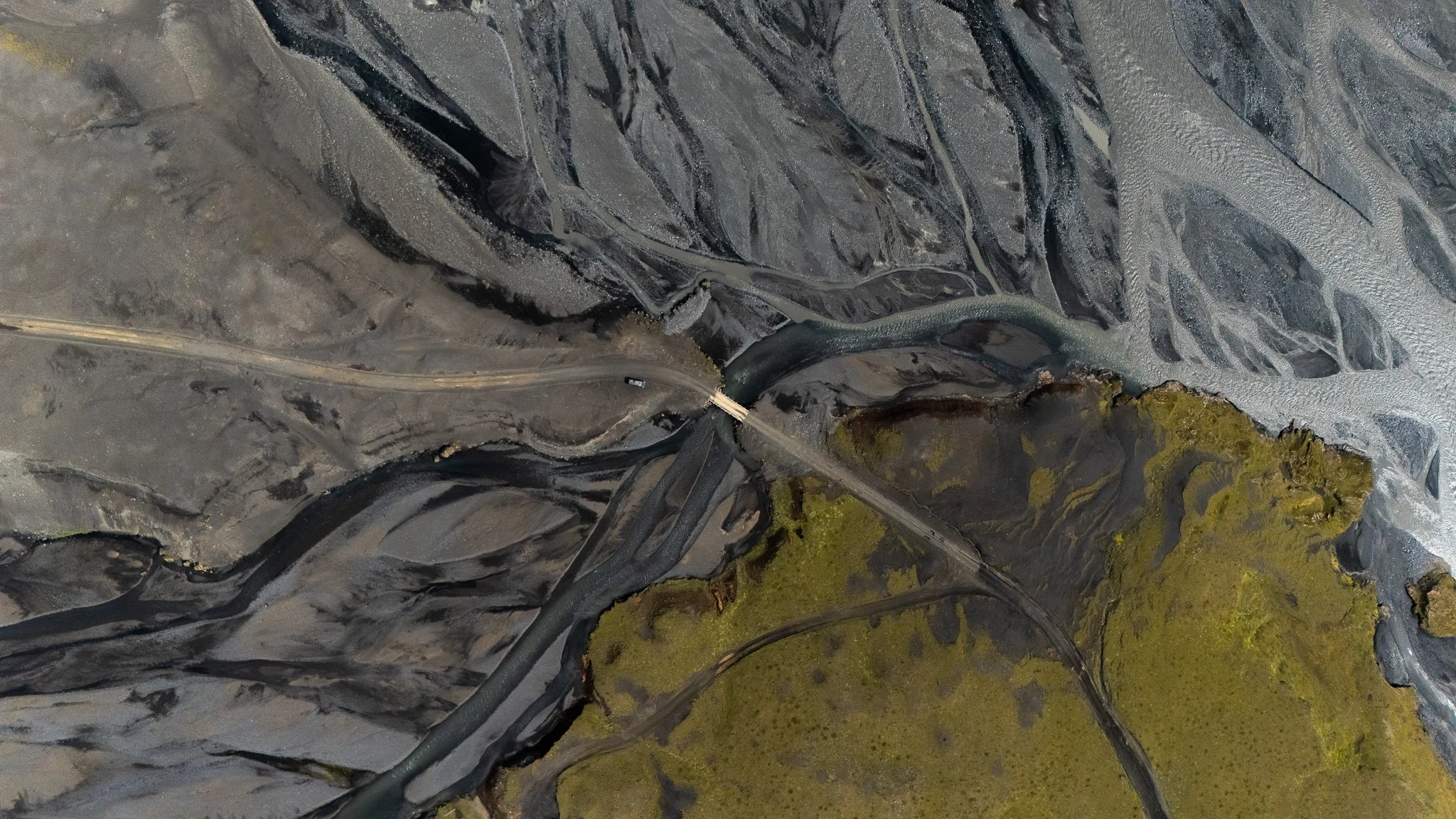
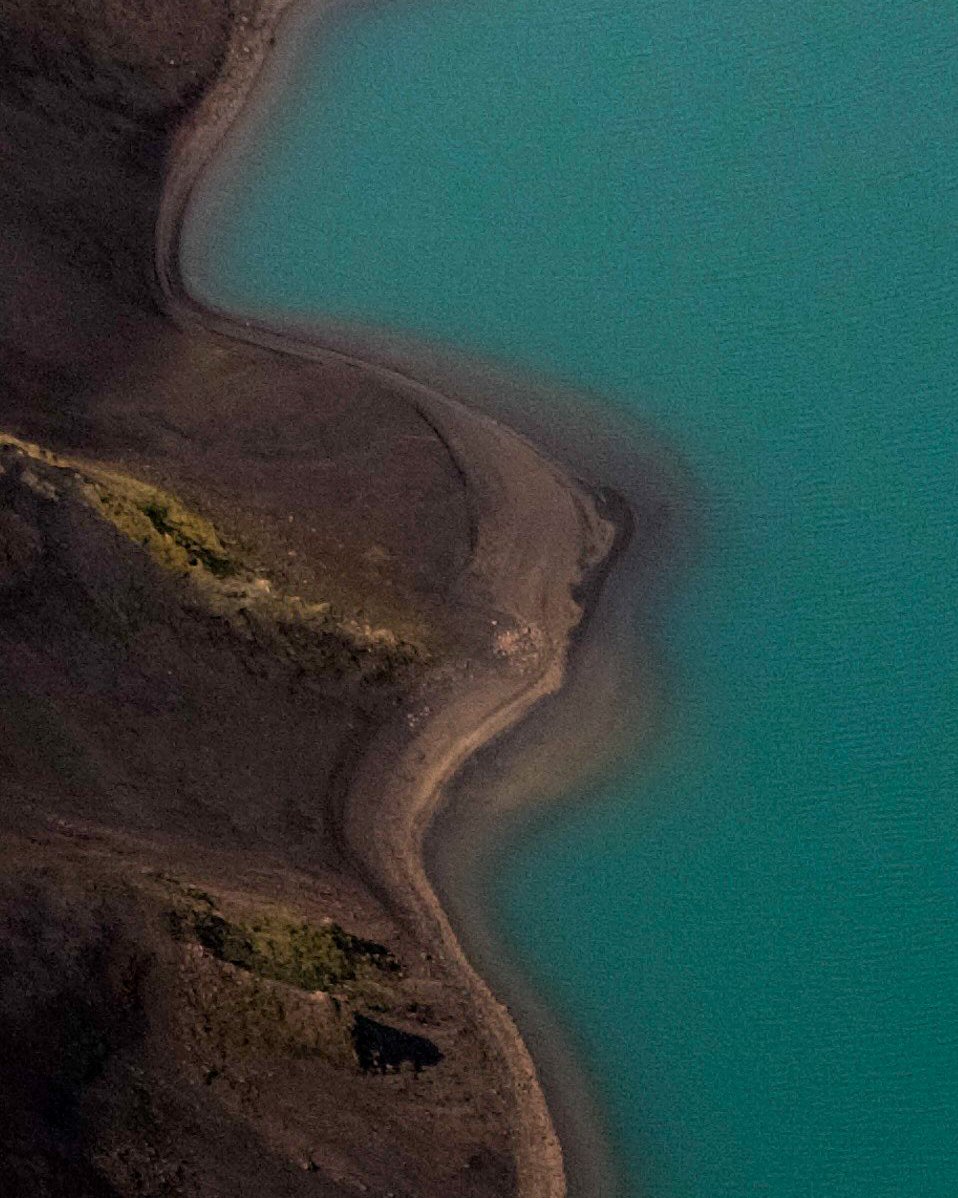
Drone photography here is absolutely incredible because from above you can really understand how isolated and wild this landscape actually is.
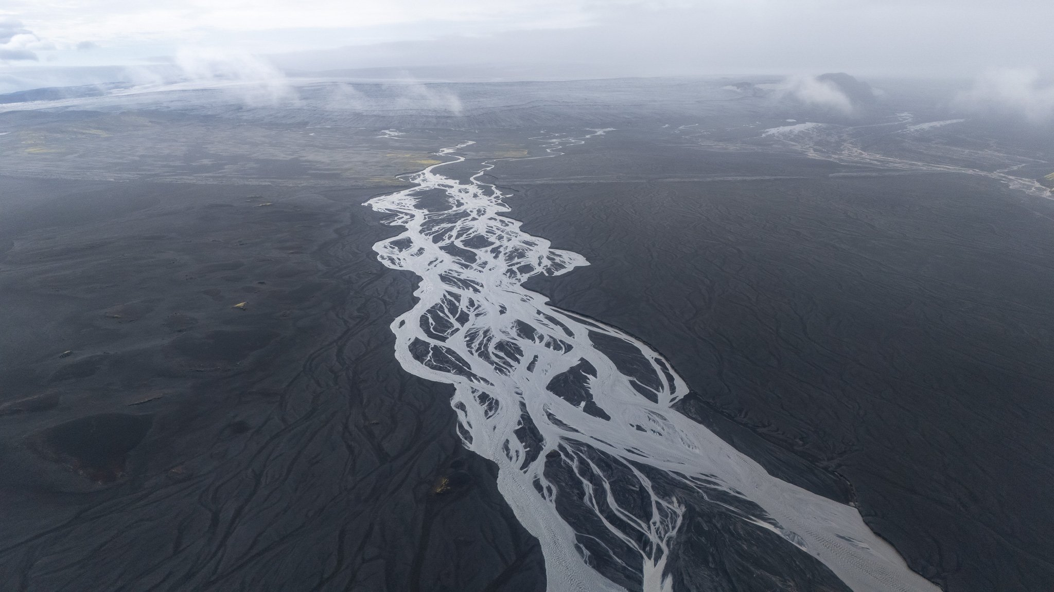
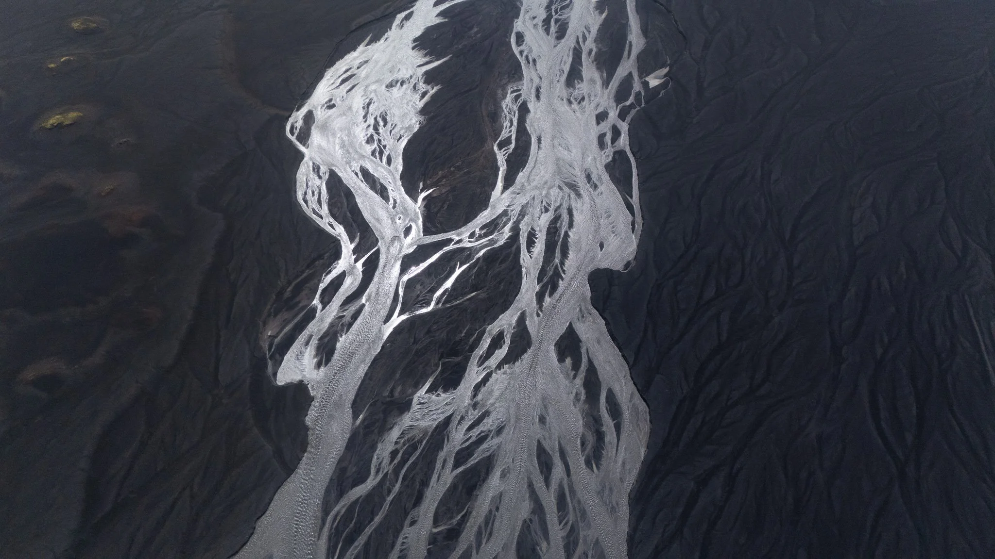
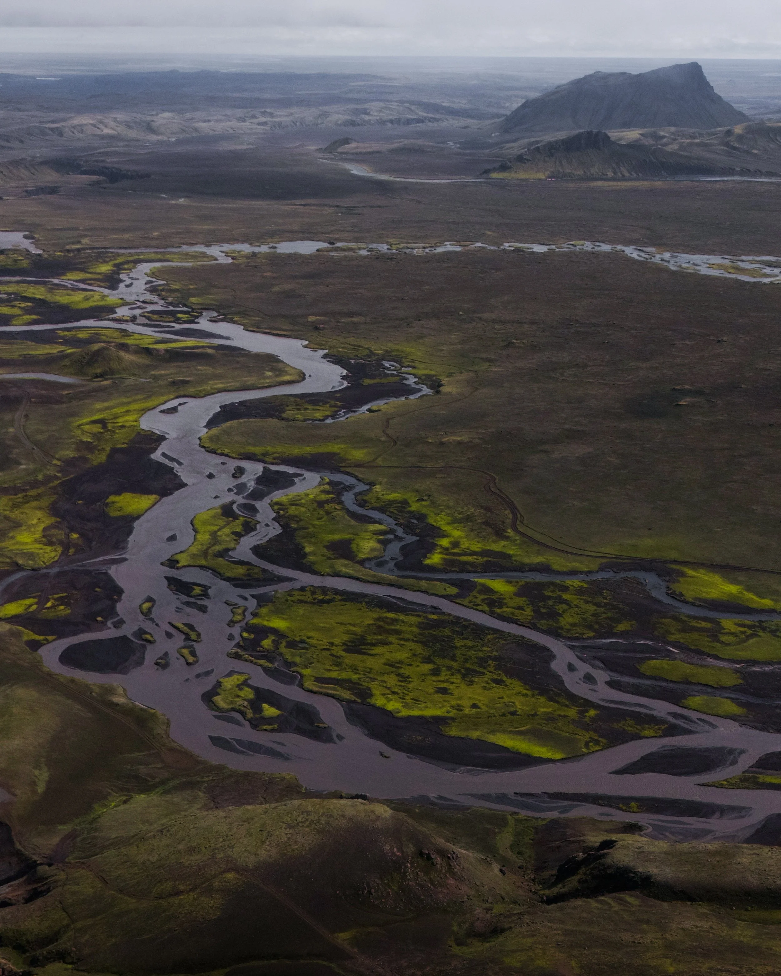
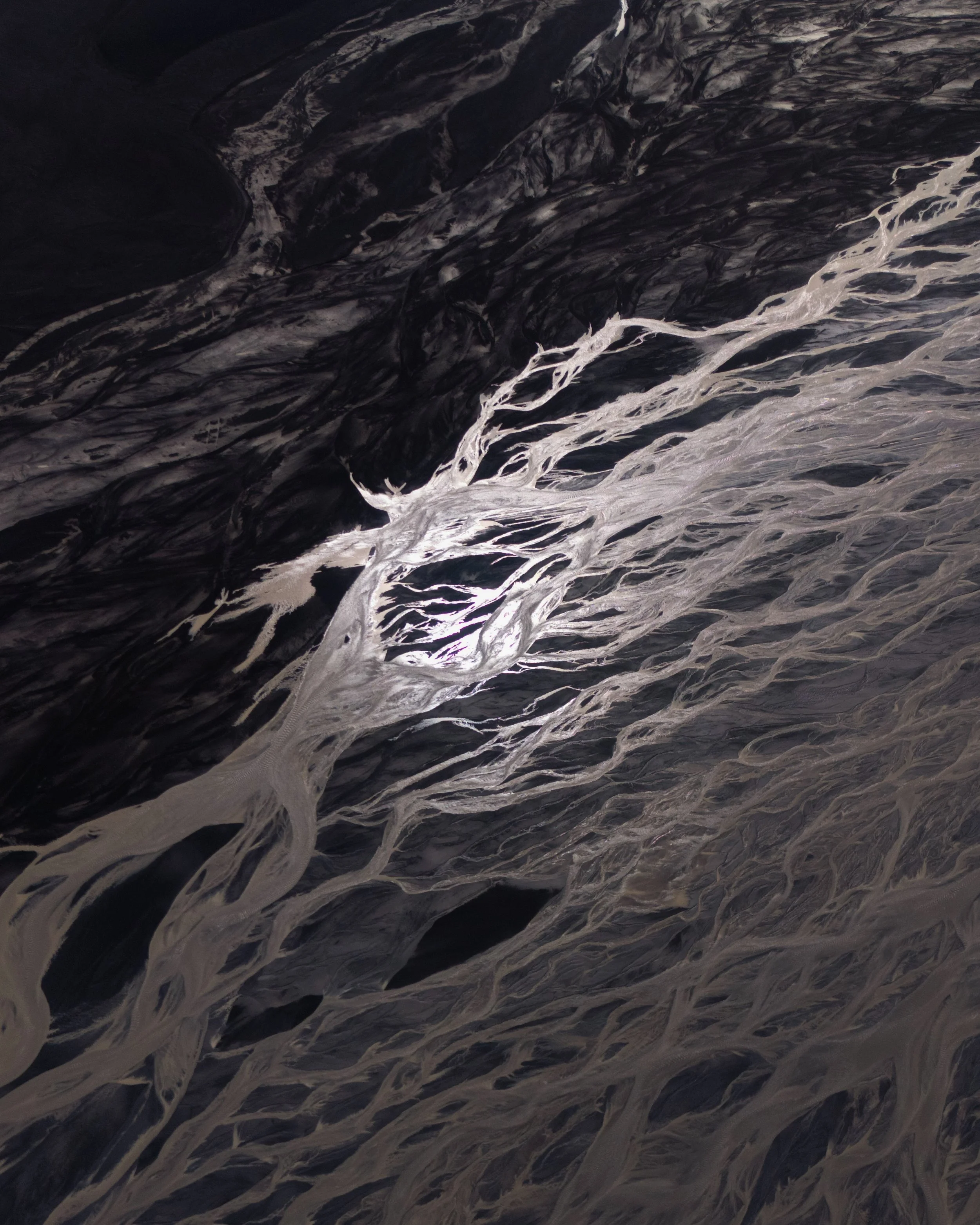
The patterns of the rivers, black volcanic textures and green mountain standing alone in the middle of everything look unbelievable from the air.
But Iceland is also very protective of nature, which honestly makes sense because these landscapes are extremely fragile.
Before flying:
always check local drone regulations
avoid flying near people
respect wildlife and nesting birds
be careful with Highland winds
The wind can change incredibly fast out there, especially around rivers and mountain slopes. Even when it feels calm near the ground, conditions higher up can be very different.
I personally found shorter flights worked best because weather changes so quickly in the Highlands. As for the summer 2025 it was allowed ro fly at this area. But checj always changing rules. They become more and more complicated every year.
Laki
Iceland From Above Revealed Another Planet
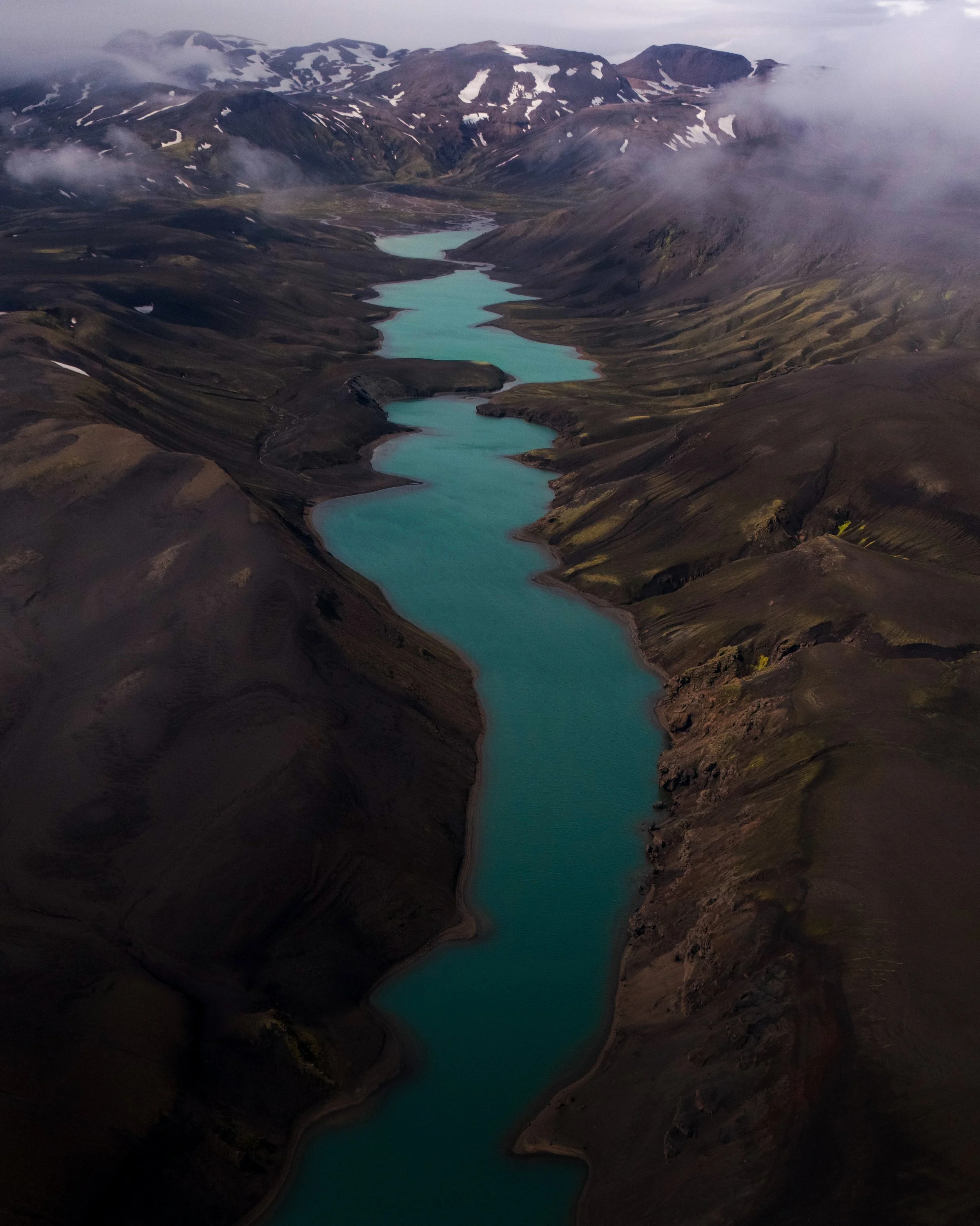
One of the biggest reasons this project evolved into something much larger than expected was because many volcanic landscapes only truly reveal themselves from the air.
From the ground some locations looked relatively ordinary, but the moment the drone lifted above them the entire terrain transformed completely. Volcanic systems became visible stretching across huge distances, frozen rivers carved white abstract patterns through black lava fields and crater formations suddenly appeared connected to surrounding geological structures in ways impossible to understand from below.
Northern Iceland especially became incredible from above.
Around areas like Krafla and Mývatn dozens of ochre-colored craters appear scattered across darker lava plains almost like brushstrokes painted into the landscape. Reds, oranges and deep brown volcanic tones contrast against black basalt and occasional snow, creating aerial scenes that sometimes looked more like abstract paintings than natural terrain.
Highland Safety – Things You MUST Check
1. Check road conditions every day
The official Iceland road website is essential before driving:
Roads can close suddenly because of flooding, storms, snow, or dangerous river conditions.
Never assume yesterday’s conditions are still the same today.
2. Watch the weather constantly
Weather controls everything in the Highlands.
Heavy rain or warm temperatures can rapidly increase glacier river levels.
Use:
Wind can also become extreme in Iceland and make Highland driving exhausting.
3. Rent the correct car
For Maelifell, I personally recommend:
proper 4x4 vehicle
high ground clearance
preferably larger SUV
Ideal options include:
Toyota Land Cruiser
Defender-type vehicles
modified Highland rental vehicles
Smaller SUVs like a Dacia Duster can sometimes manage F232 in very good conditions with careful driving — but conditions change constantly.
The more clearance you have, the safer and less stressful the trip becomes.
And always confirm your rental insurance covers F-roads.
Final Thoughts
Maelifell became one of my favorite places in Iceland because everything about the trip felt cinematic.
The black sand.
The fog.
The waterfall crossing.
The silence.
The endless space.
It felt like driving through another world.
And even now when I look back at the photos, I still cannot fully believe this place is real.