
Langisjór. Icelandic Highlands Adventure. Part 2.
Langisjór — Into One of Iceland’s Wildest Corners
There are places in Iceland where you arrive, take a few photographs and think, wow, this is beautiful.
And then there are places where you arrive and just sit there for a while because your brain needs time to understand what you are looking at.
Langisjór is one of those places.
It is not somewhere you simply “stop by” on your way somewhere else. Getting there is part of the adventure. The road becomes smaller, the landscape becomes emptier, the phone stops working and eventually there is nothing around you except black volcanic sand, strange mountains, rivers and an enormous blue lake disappearing between the Fögrufjöll mountains.
And honestly, this is exactly why I love the Icelandic Highlands.
Getting to Langisjór
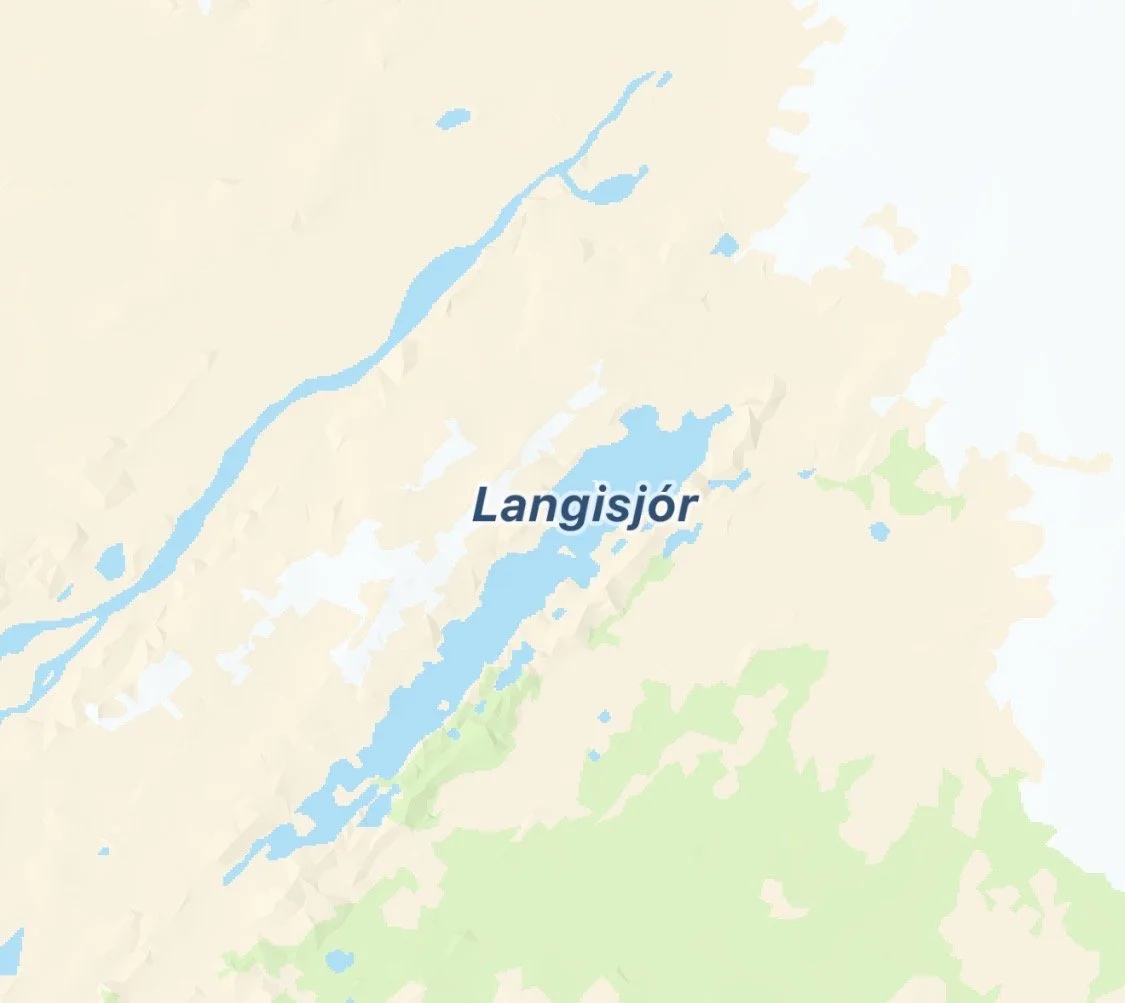
There are basically two main ways of reaching Langisjór, and both eventually bring you onto F235.
You can come from the south via F208, approaching from the Kirkjubæjarklaustur/Skaftártunga side. This is a fantastic Highlands route because you can combine Langisjór with Eldgjá, and the landscape changes dramatically as you drive deeper into the interior.
The other option is to come from the north, driving through the Landmannalaugar area on F208 and then turning onto F235 towards Langisjór.
If you are planning a bigger Highlands adventure, you can also combine this with F225, F223/Eldgjá or F233/F210, depending on where you are coming from and what is open. But these roads don't all lead directly to Langisjór — they are ways of building Langisjór into a much bigger Highlands loop.
And then there is F235.
This is the road I came for.
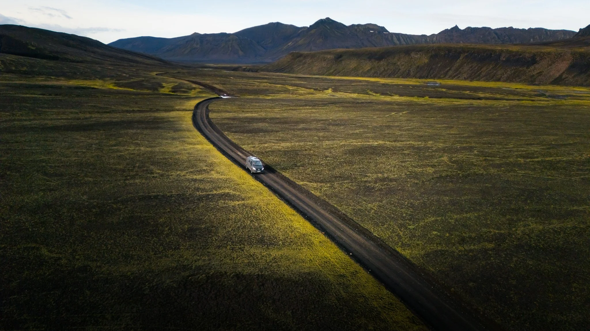
It leaves F208 and disappears into an increasingly surreal landscape. It is roughly 25 km to the lake, but don't look at the distance and think “that will be quick”. This is an Icelandic F-road. You are driving slowly, stopping constantly, crossing streams and probably getting out of the car more times than you planned because every bend looks like another photograph.
ay the campsite
What car do you need?
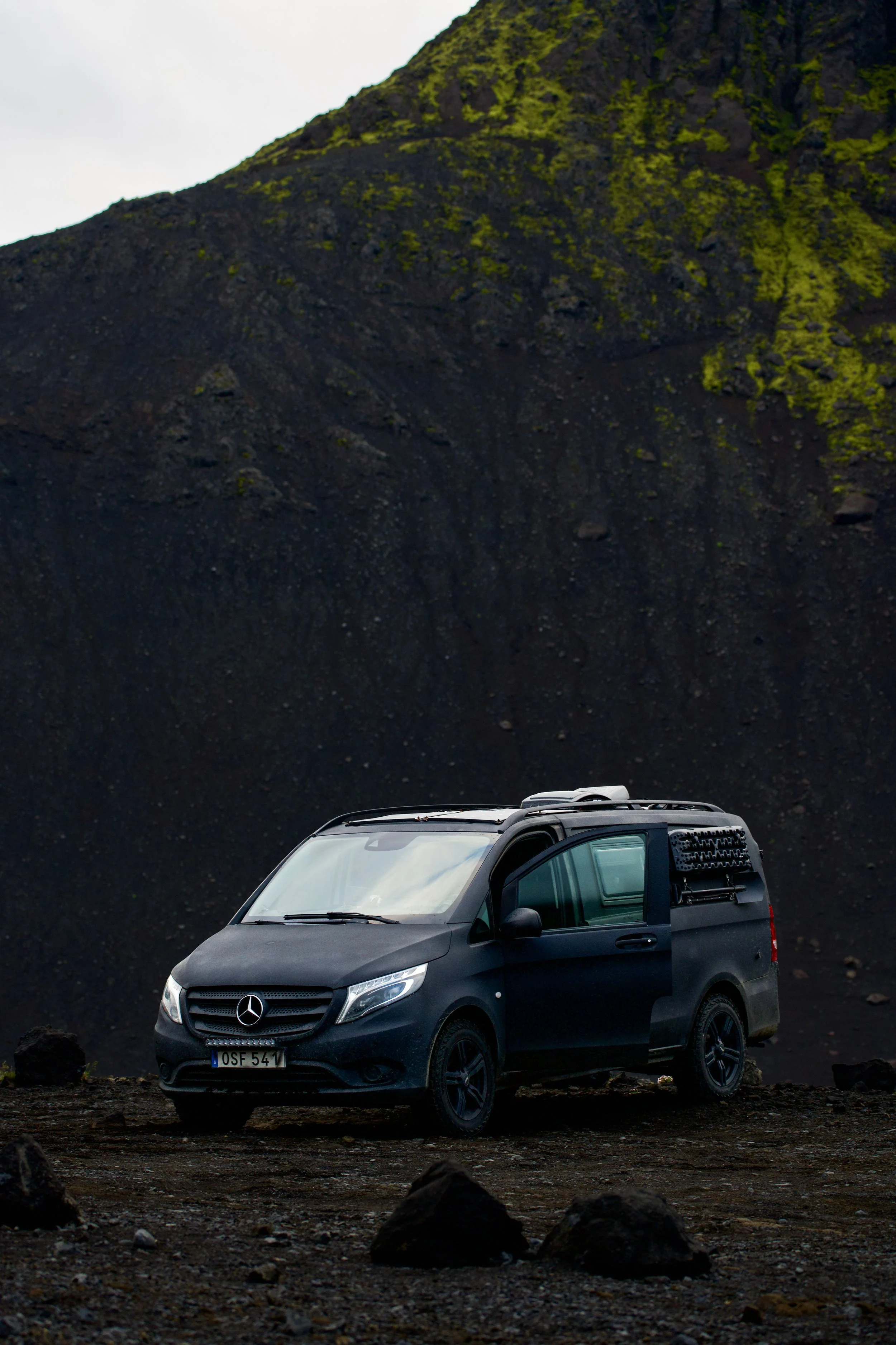
A proper 4x4 with good ground clearance.
This is not the place for a normal passenger car, and I would personally not choose a small crossover just because it technically has four-wheel drive.
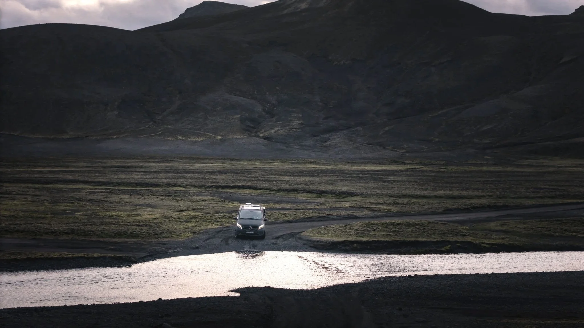
The road to Langisjór has several unbridged river crossings, loose gravel and rough sections. Conditions can change quickly after rain, and the rivers can become much more serious than they looked earlier in the day.
This is one of those places where having a capable vehicle isn't about looking adventurous. It is about having enough clearance, traction and confidence to turn around if conditions aren't right.
And remember: an F-road being open does not automatically mean that every river crossing is safe for your particular vehicle.
Small river crossing
The river crossings
This is probably the question I get most often when talking about the Highlands:
“But how do you actually cross those rivers?”
First: never assume that a river is safe because someone else crossed it.
Stop. Get out. Look at the water. Check where the current is strongest and where the river is shallowest. If you're unsure, wait and watch another experienced driver — or turn around.
Never drive into water you cannot confidently assess.
When crossing, use low gear and a steady speed. Don't stop in the middle of the river and don't try to race through it. Keep your attention on the exit rather than staring directly at the water in front of the bonnet.
And the most important rule of all:
The river can be completely different an hour later.
Rain, snowmelt and weather upstream can change the water level surprisingly quickly.
I always check the road conditions before leaving, and I would also ask the rangers at Hólaskjól about the current conditions. They know the area far better than any map or Instagram post ever will.
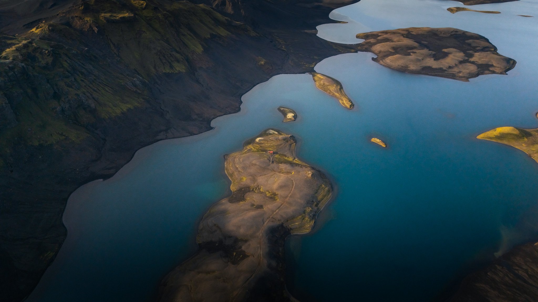
And then Langisjór appears…
After all that driving, suddenly the landscape opens.
Langisjór.
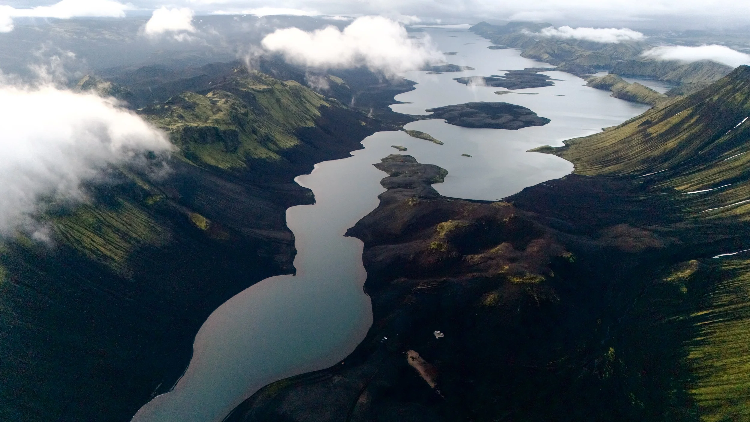
A huge, incredibly clear mountain lake, around 20 km long, sitting between Tungnaárfjöll and Fögrufjöll, with the edge of Vatnajökull in the distance.
The first time you see it, it almost doesn't look real.
From the ground, you already have an incredible landscape. But for a photographer, this is where the fun really begins.
Because Langisjór is not just one lake.
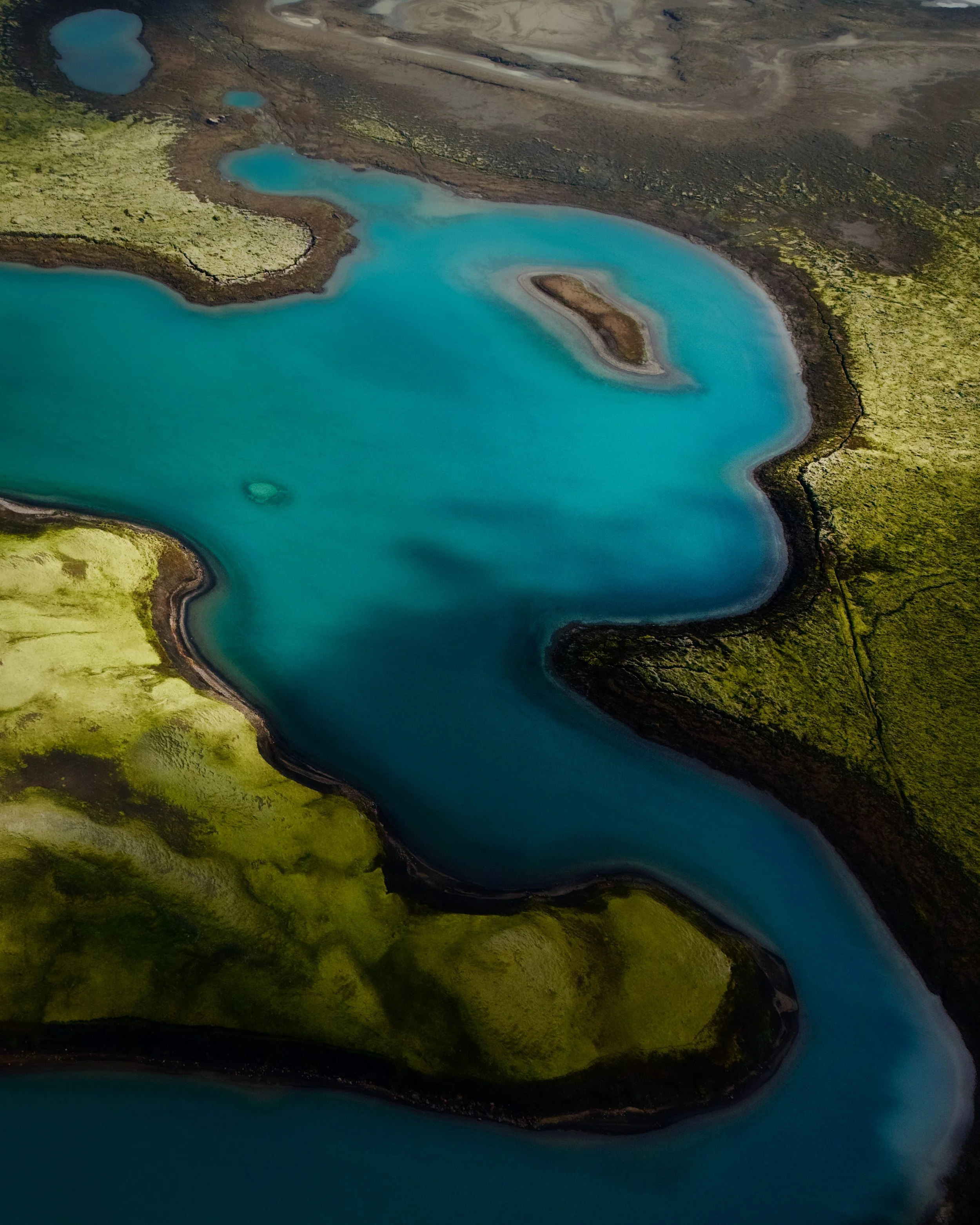
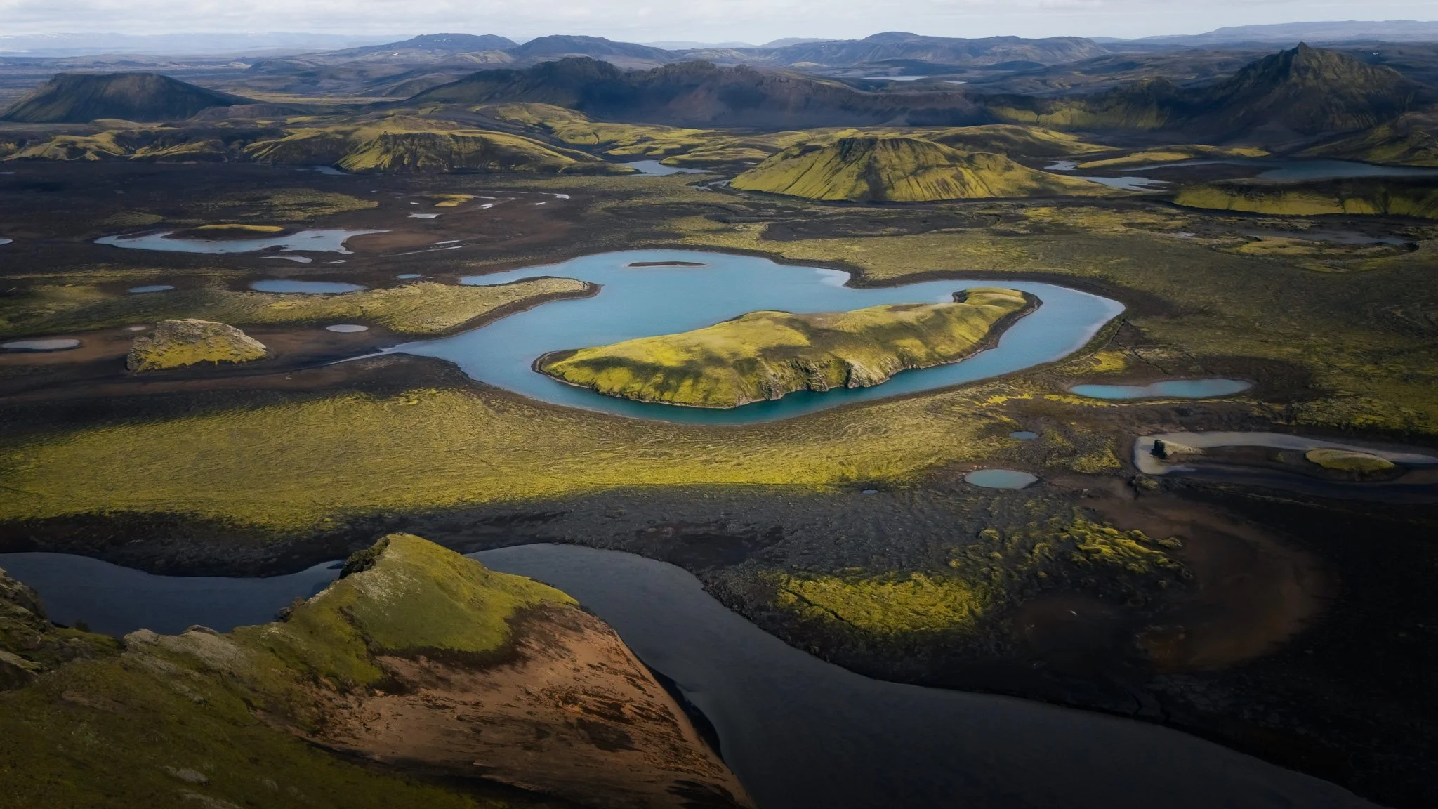
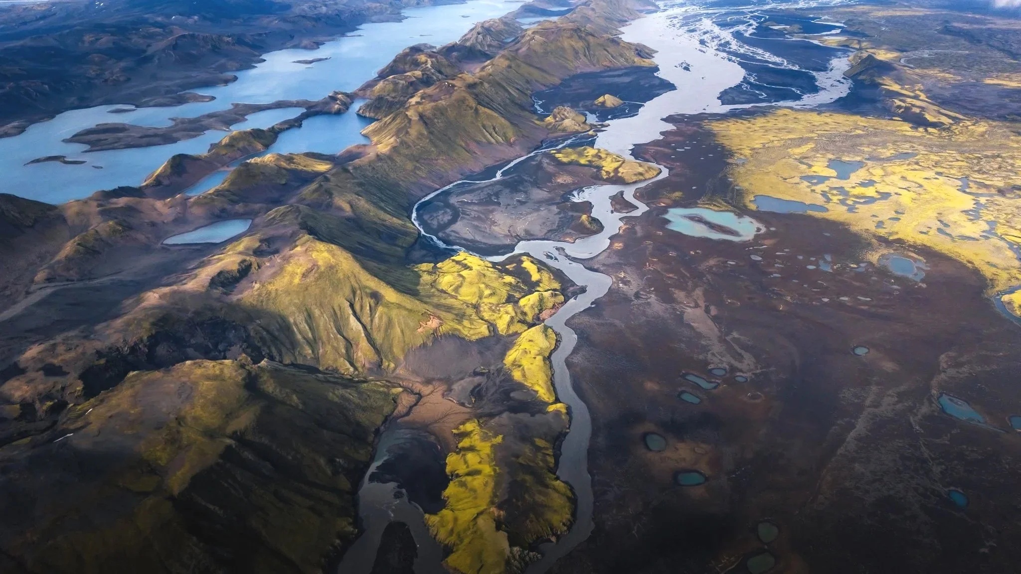
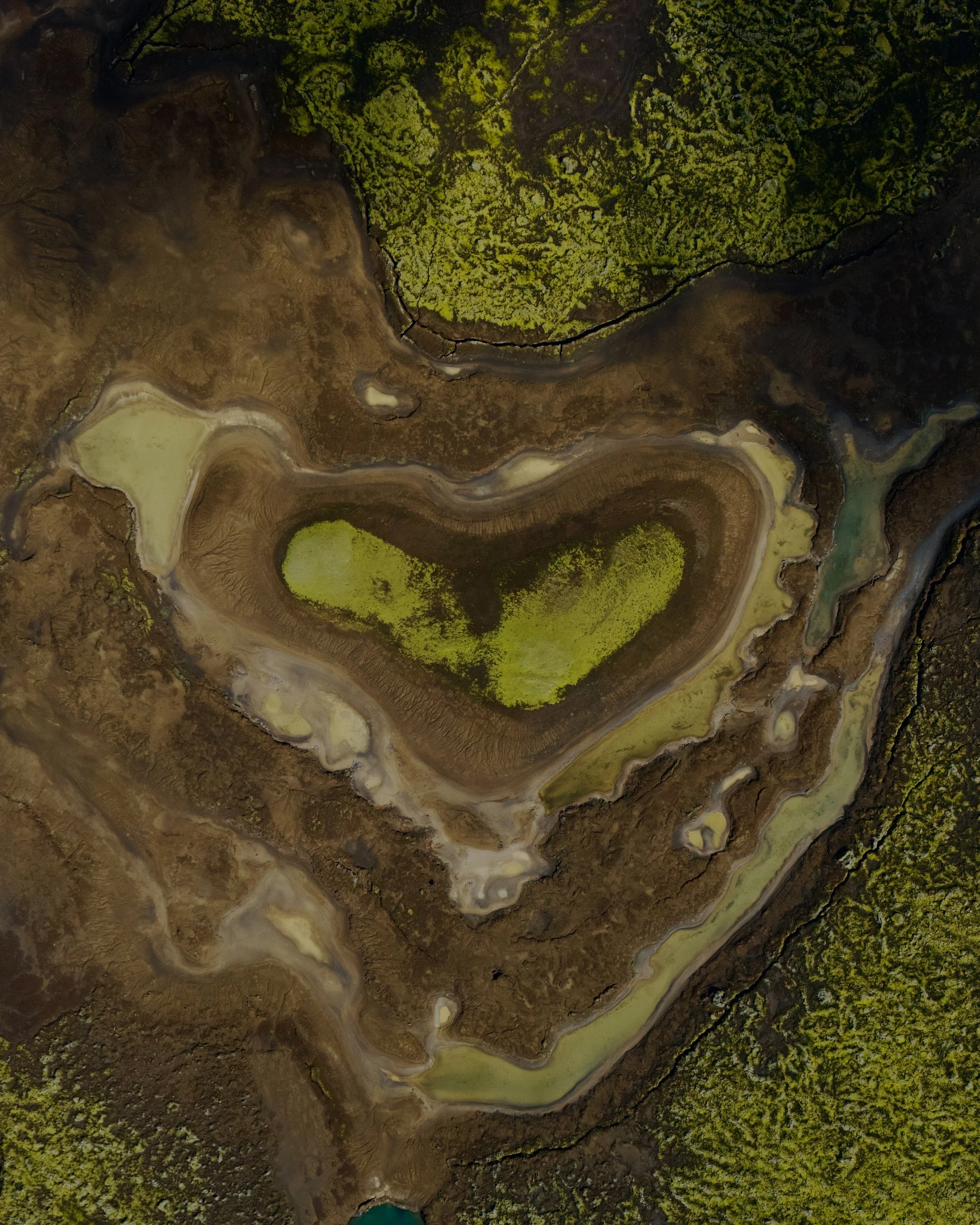
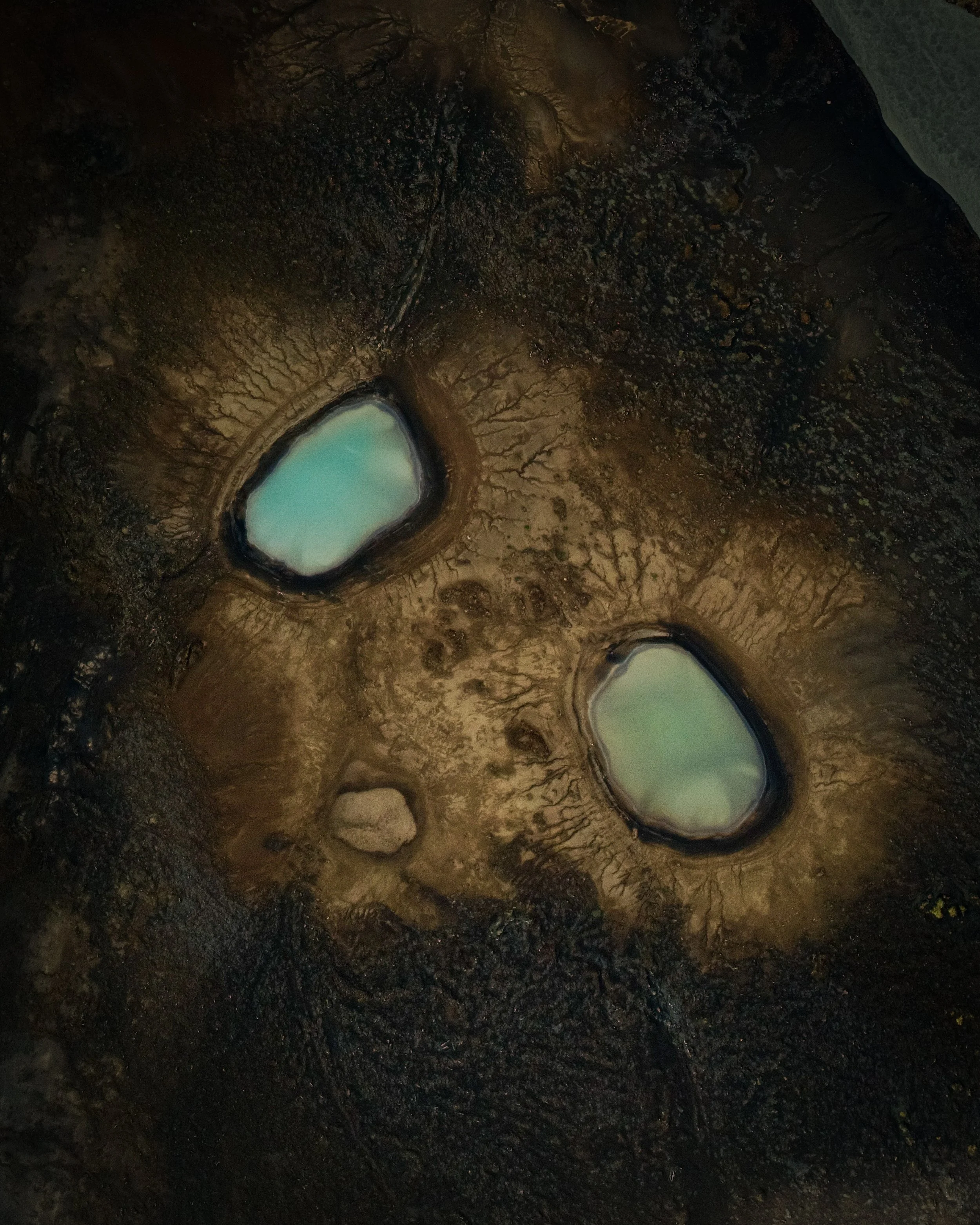
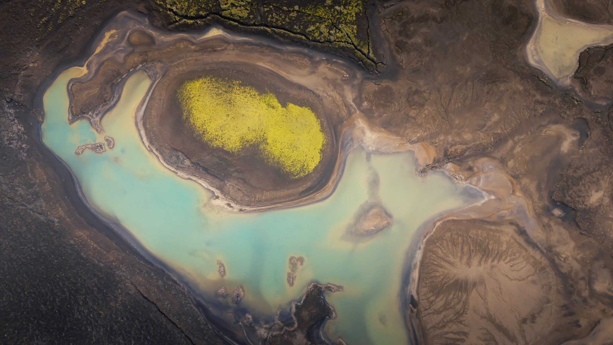
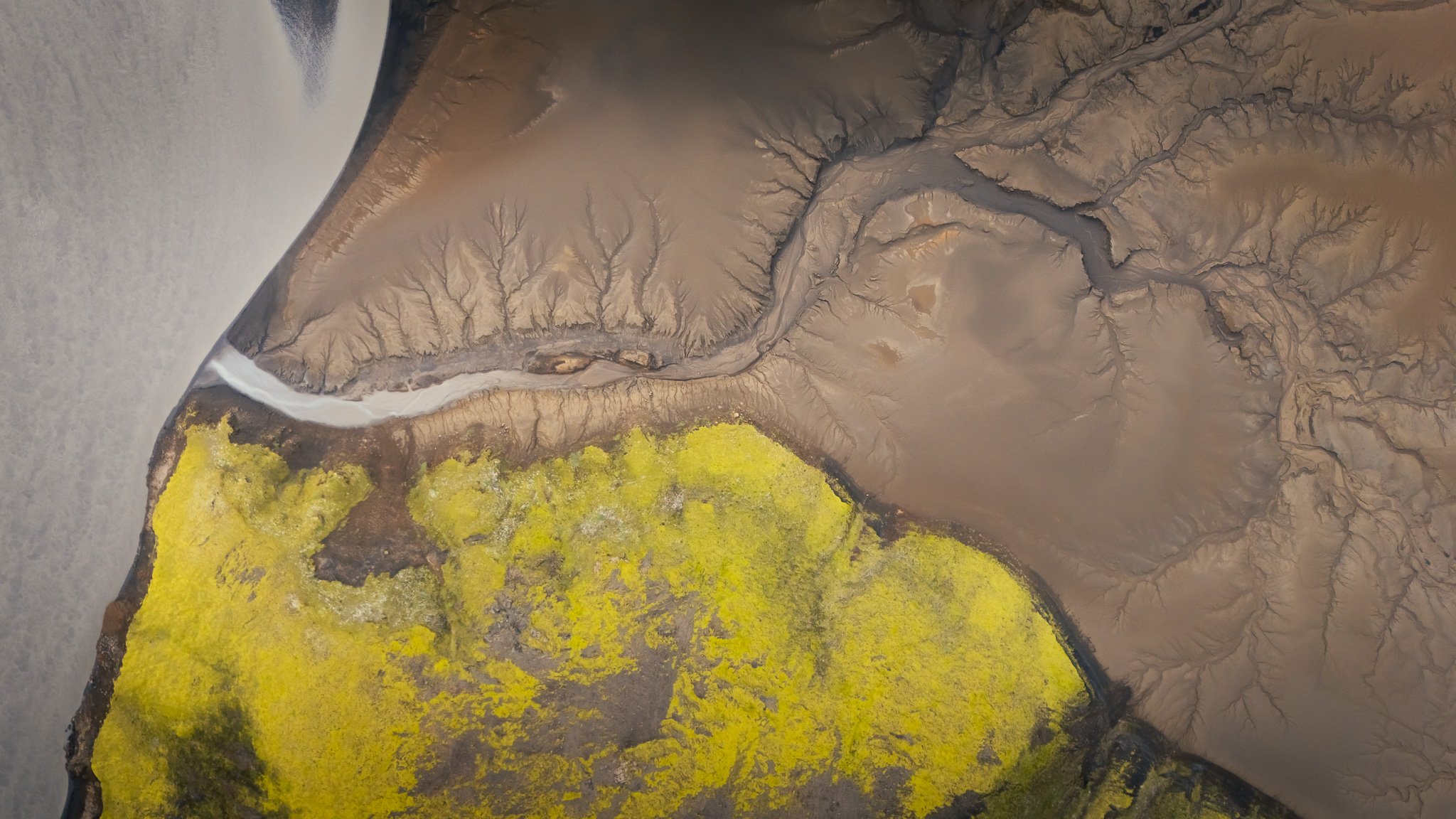
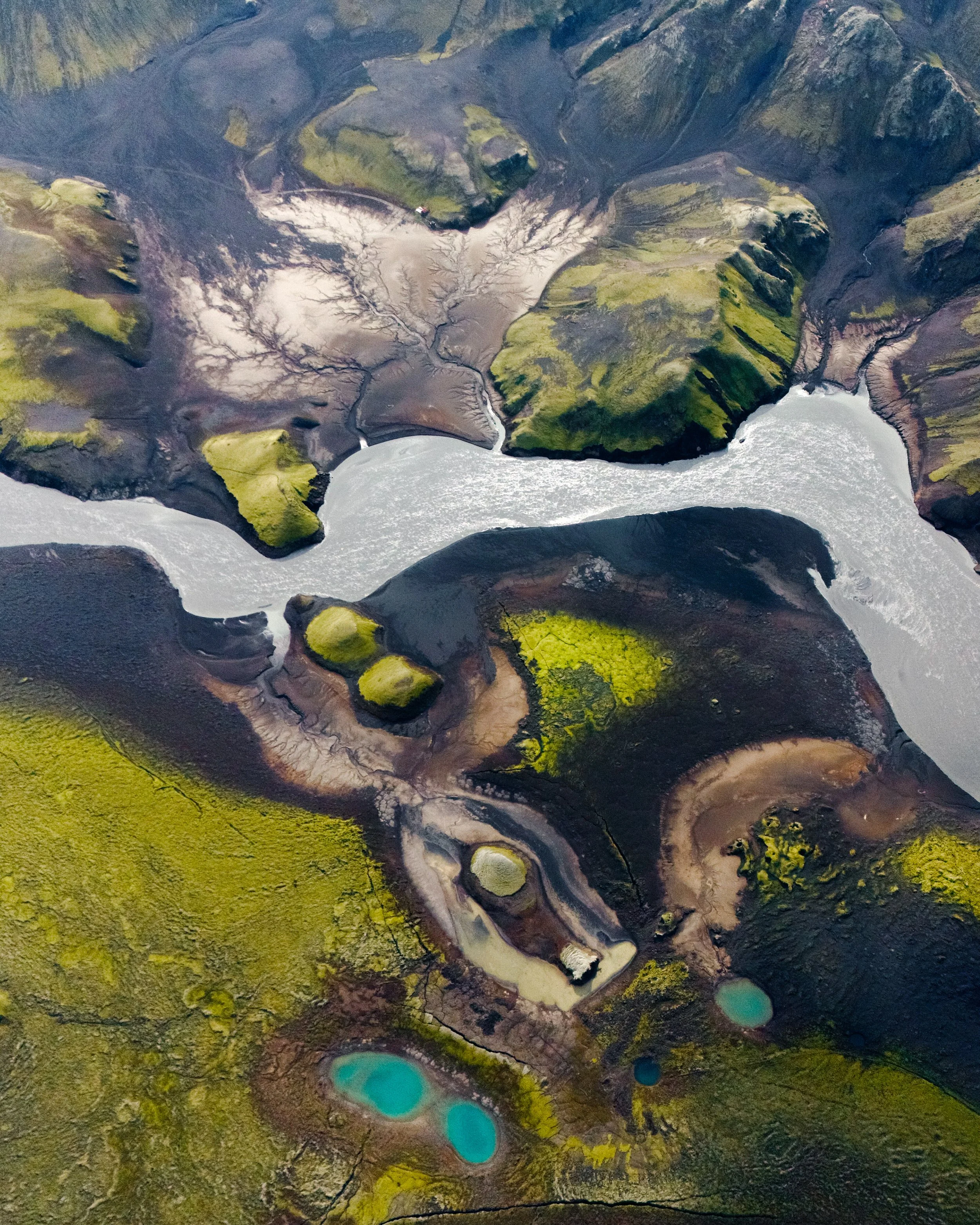
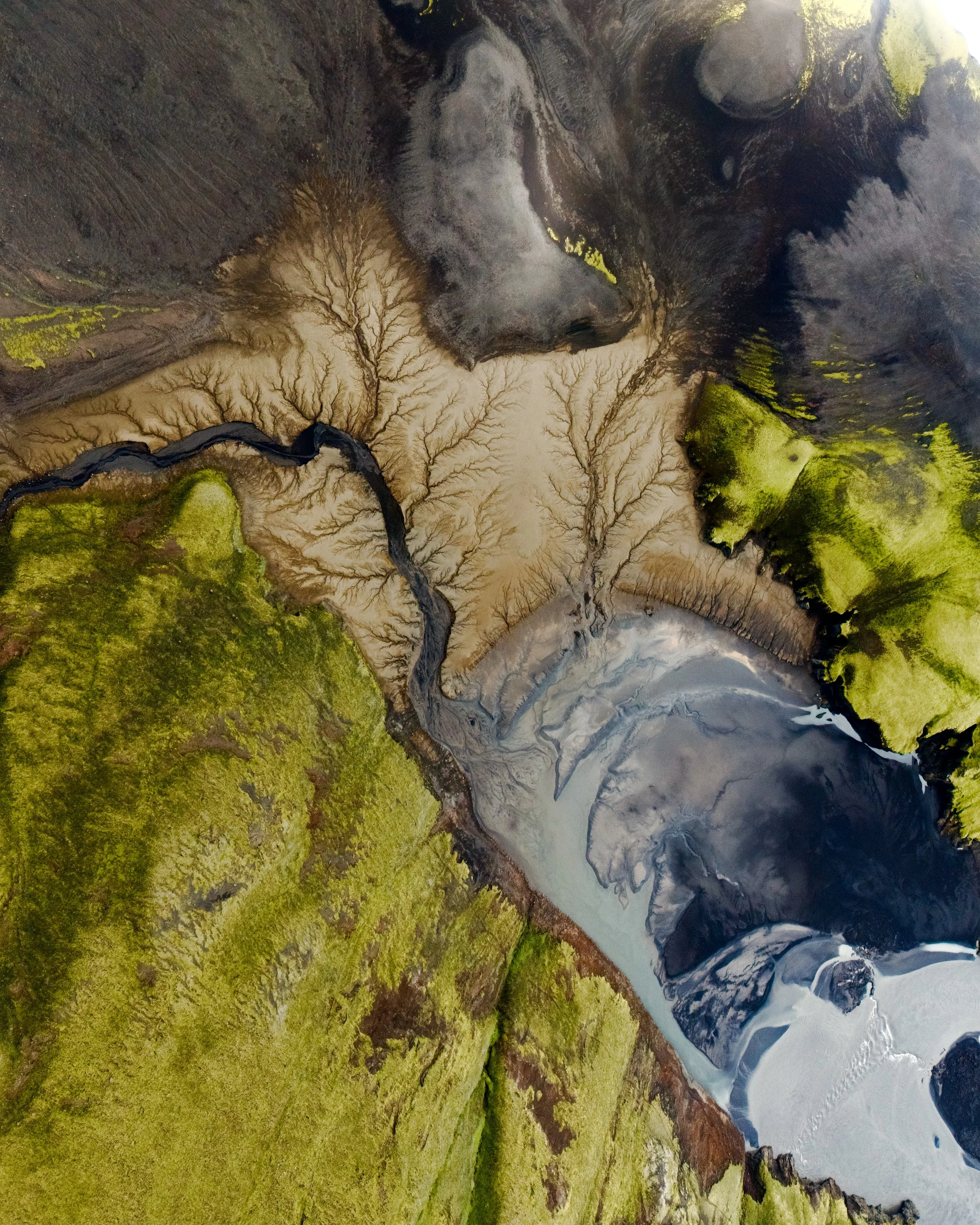
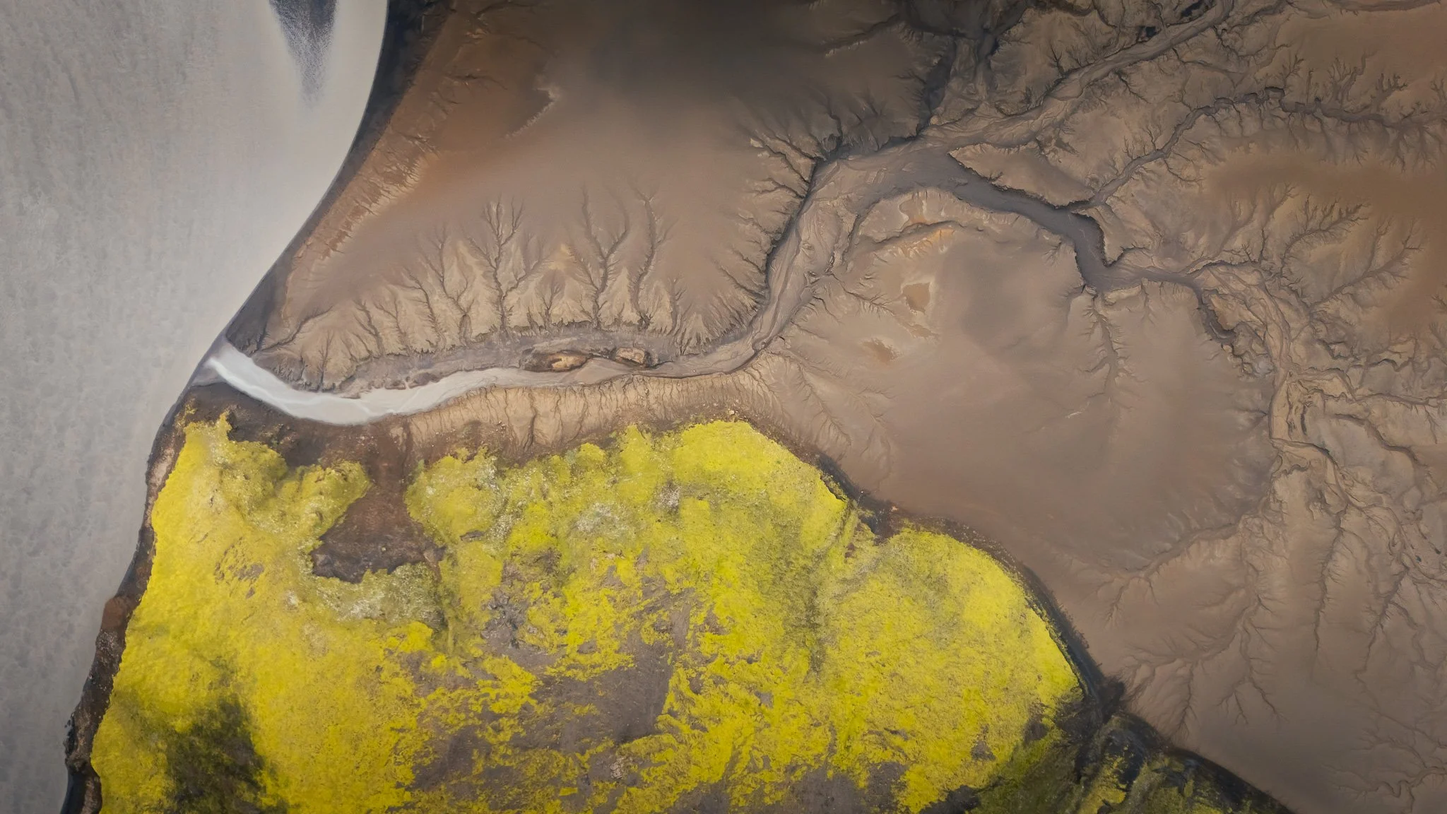
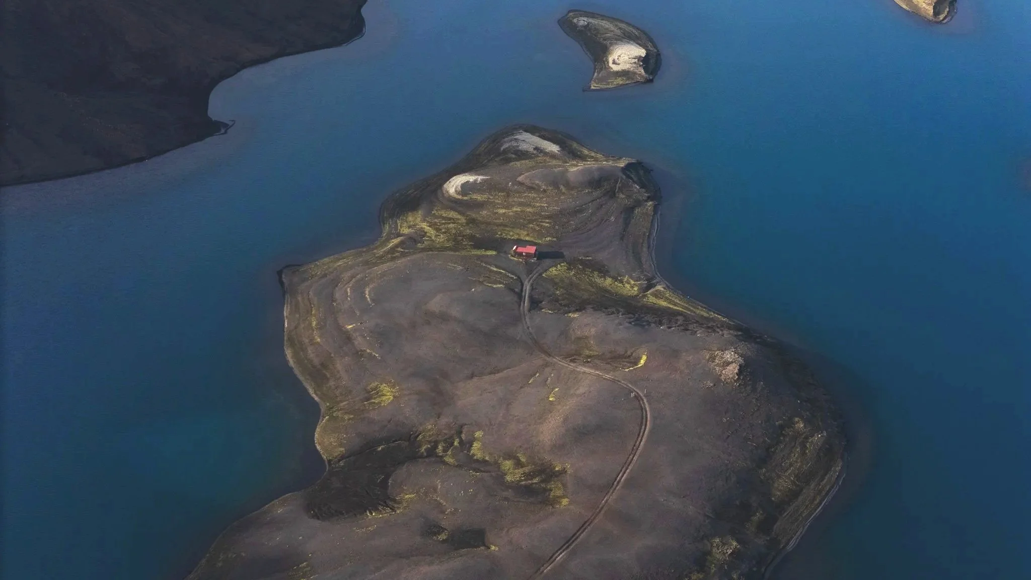
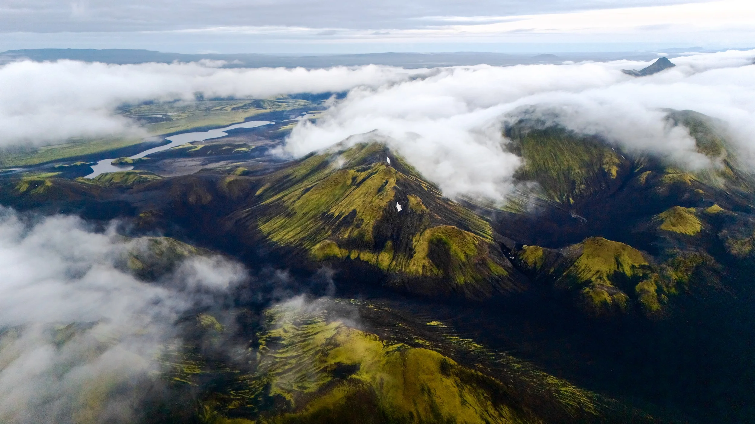
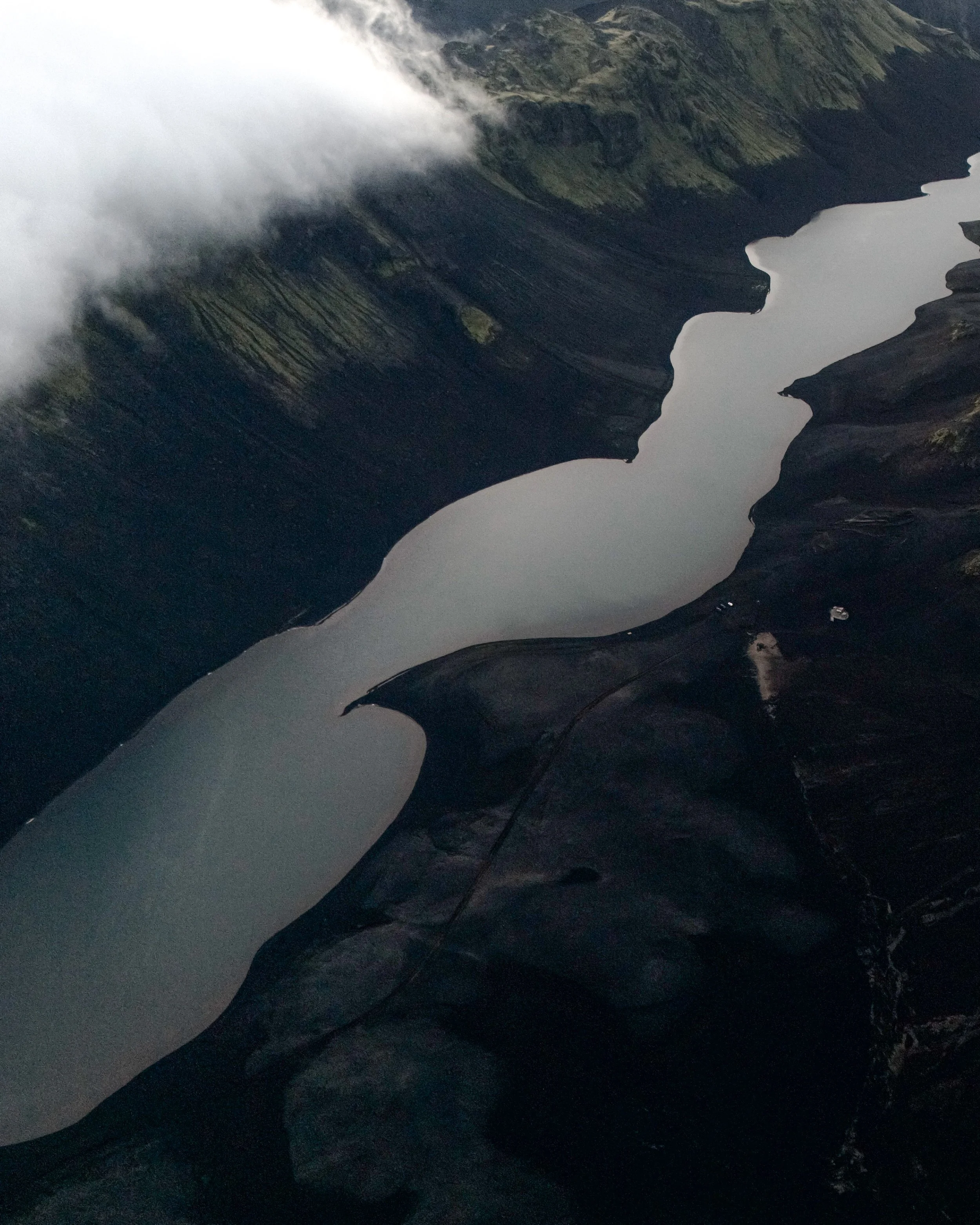
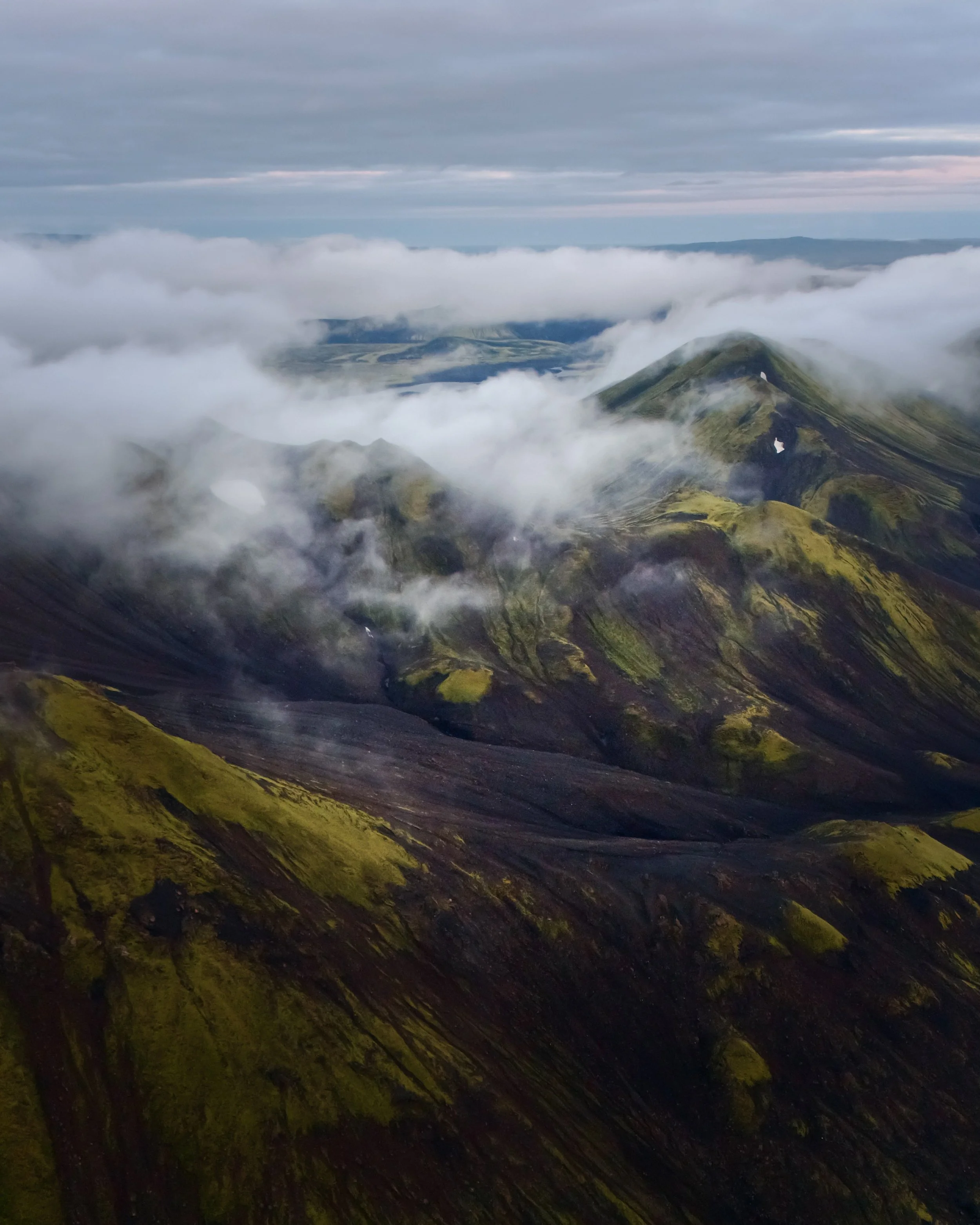
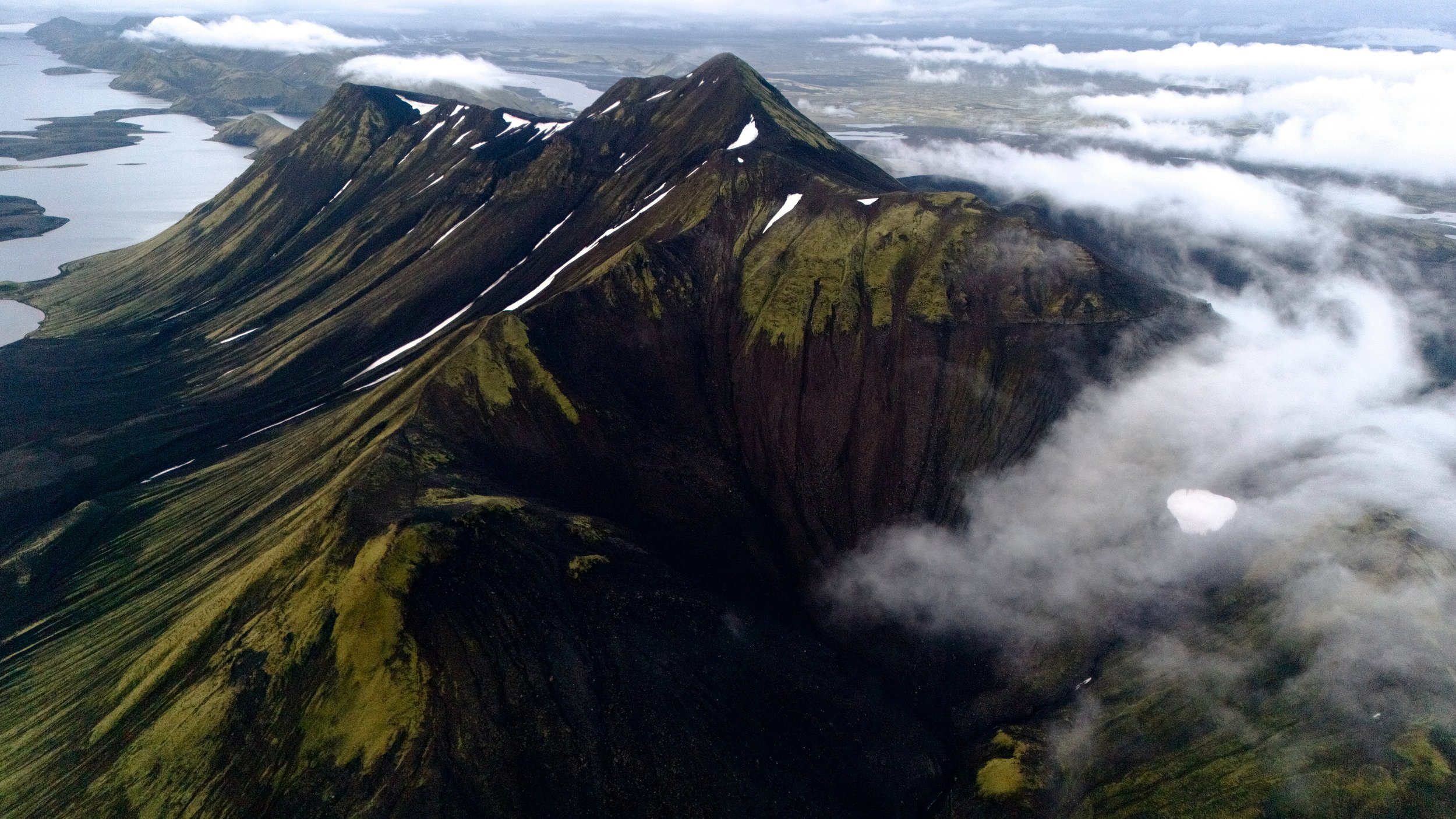
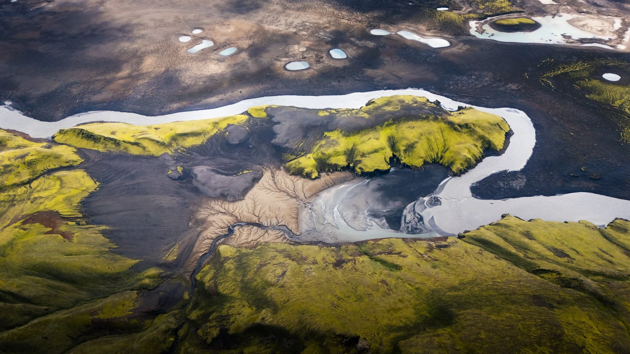
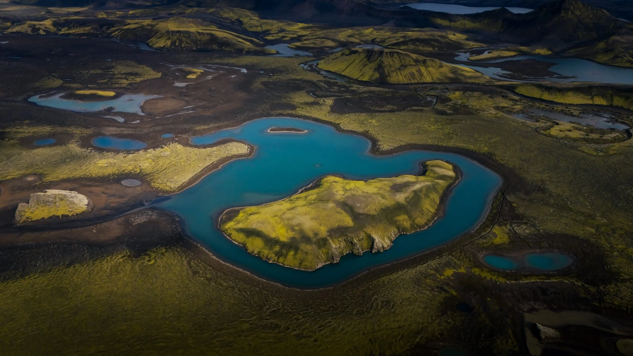
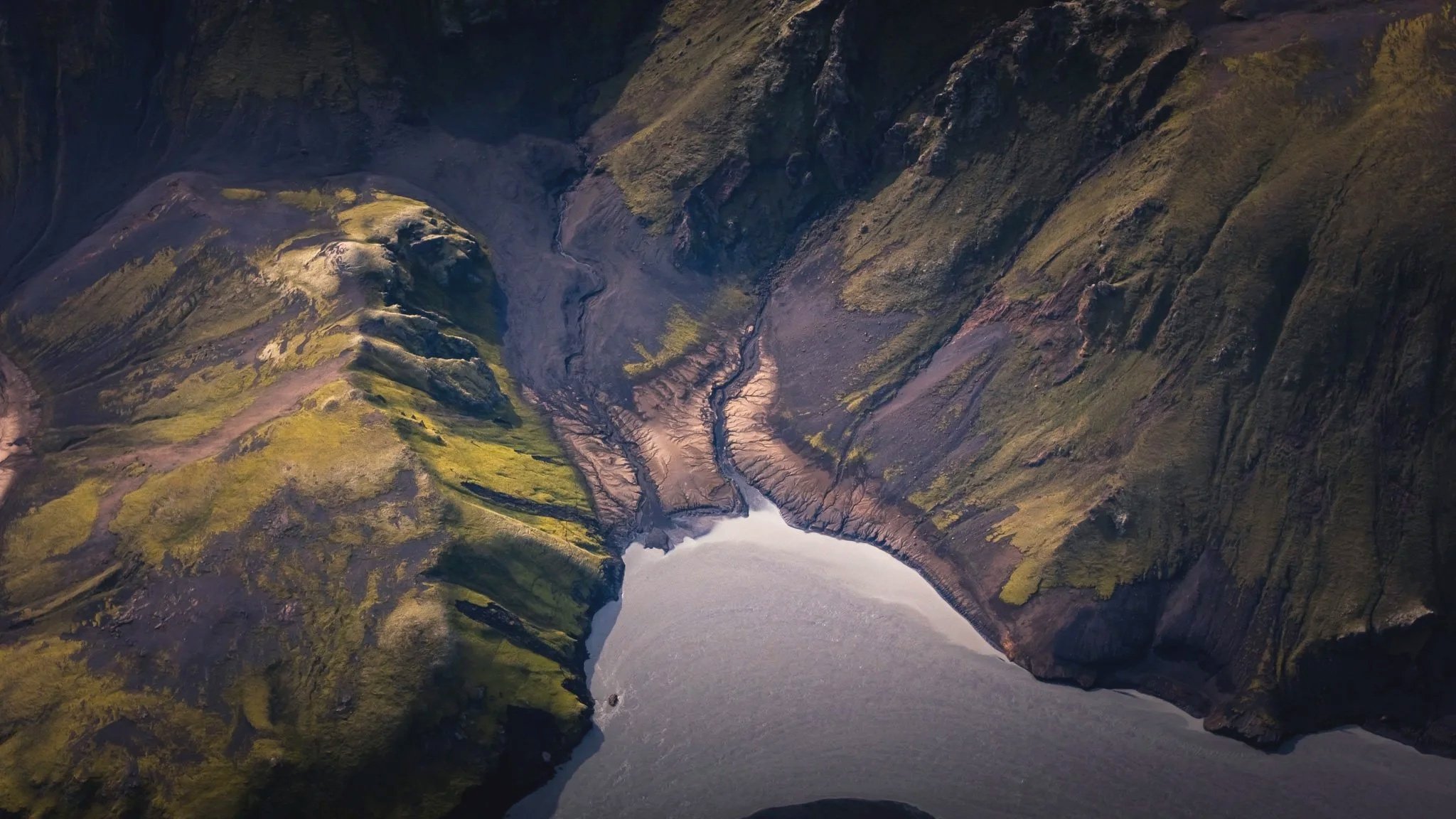
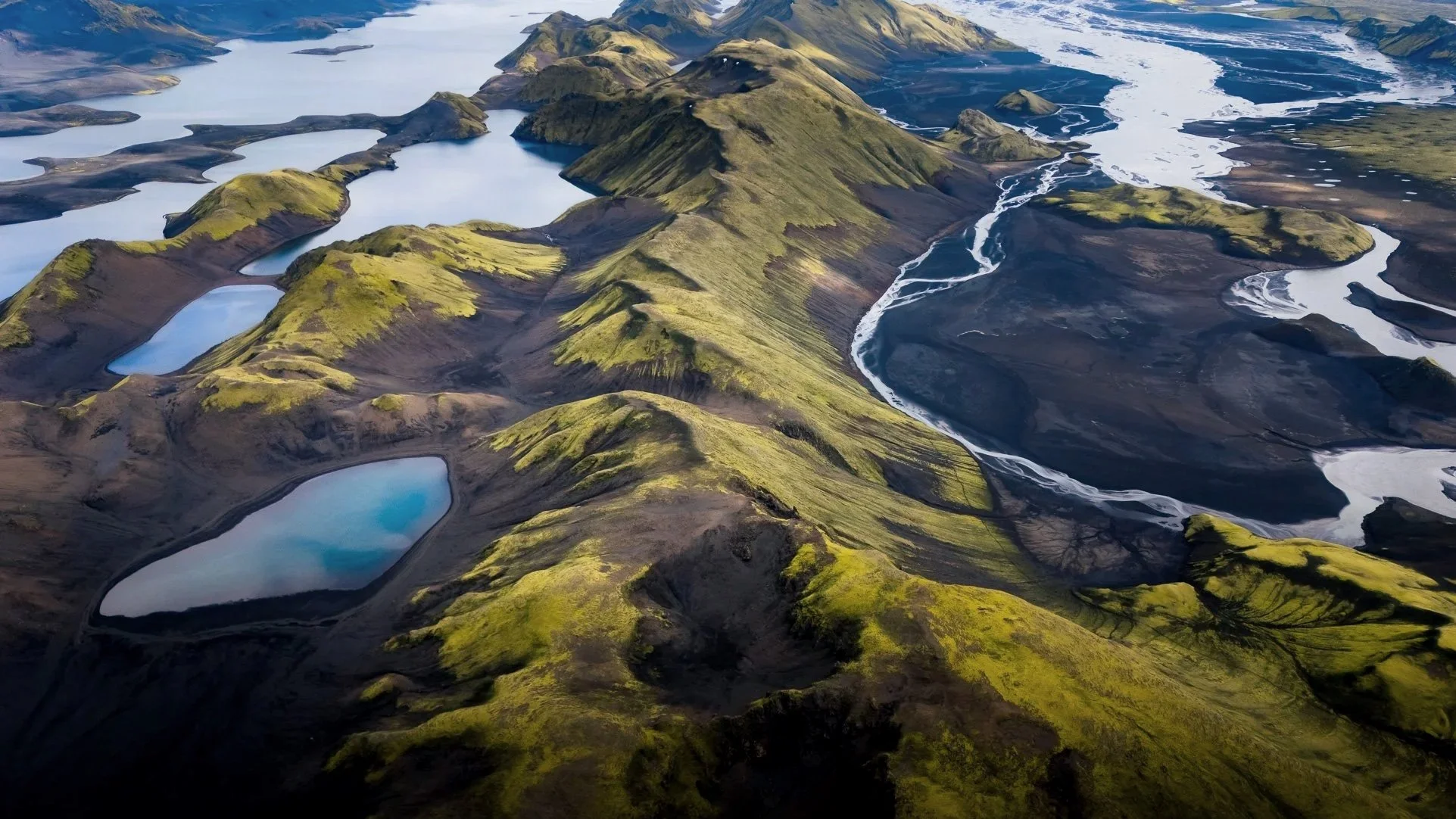
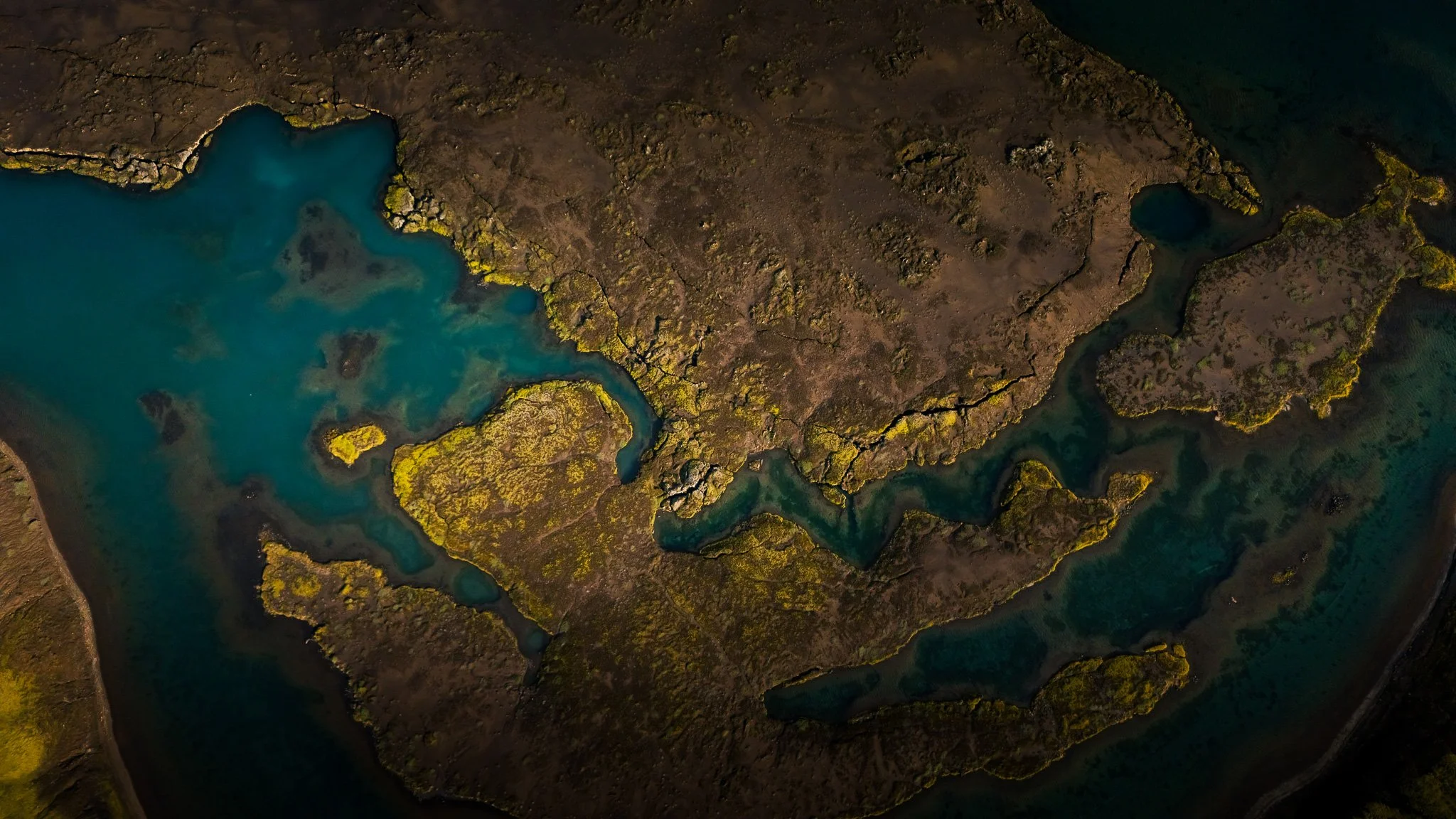
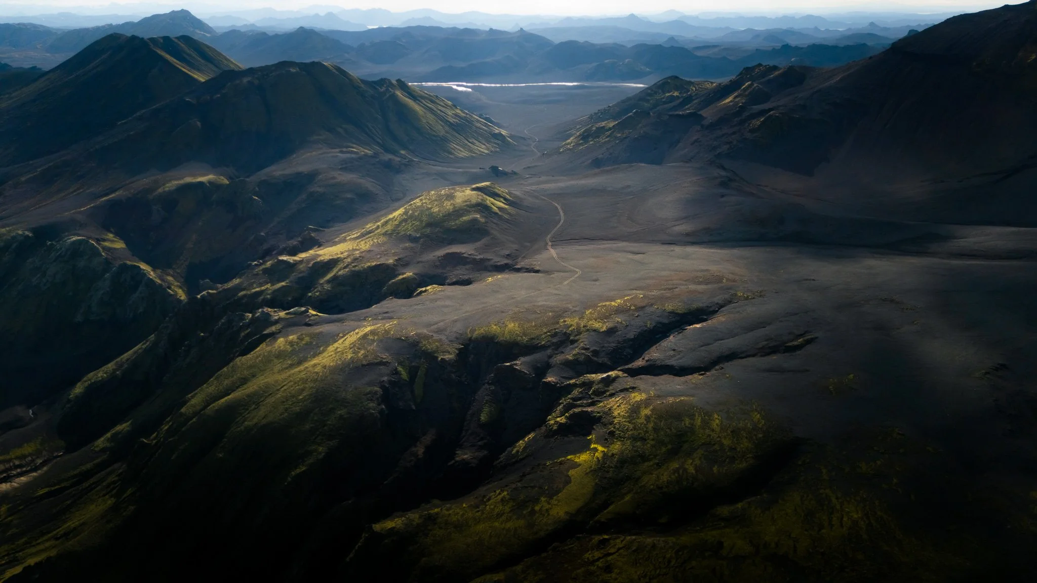
The whole area around Fögrufjöll is full of little bays, lagoons and smaller mountain lakes. From the air, the landscape suddenly makes sense: long volcanic ridges, turquoise water, black sand and tiny lakes sitting like pieces of glass between the mountains.
There are also nine lakes associated with the fishing area around Fögrufjöll, and the small bodies of water around the mountain range are particularly interesting from the air.
This is one of those locations where I would absolutely bring extra batteries.
My favourite way to photograph Langisjór
Don't just send the drone straight up.
That is probably my biggest photography tip here.
The landscape is so enormous that a high drone photograph can easily become just “mountains + lake”.
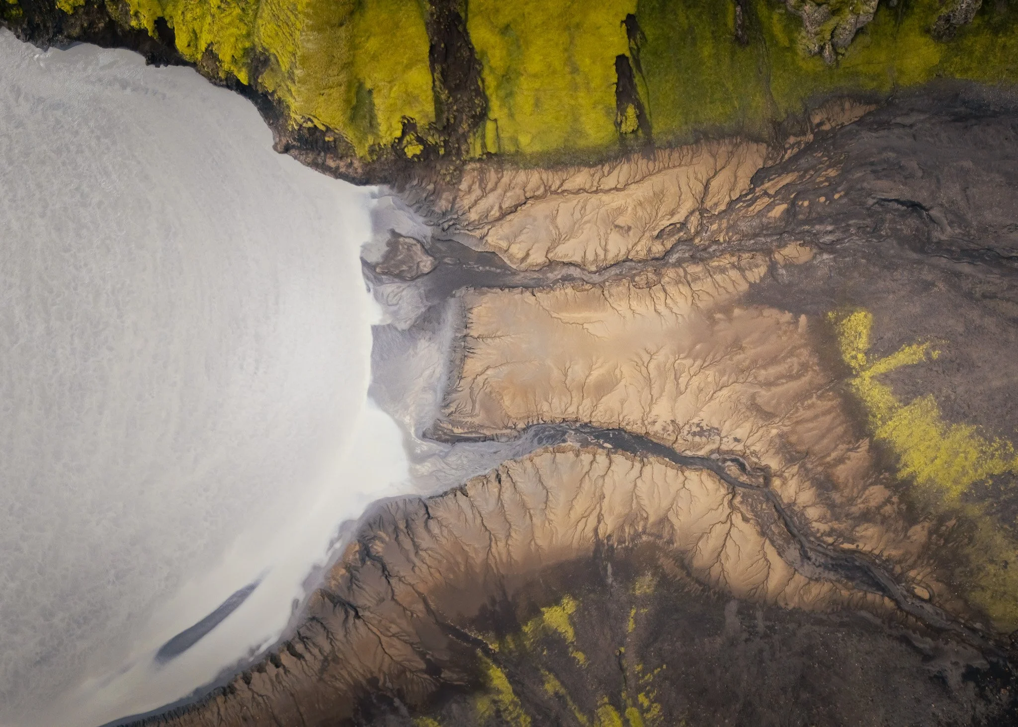
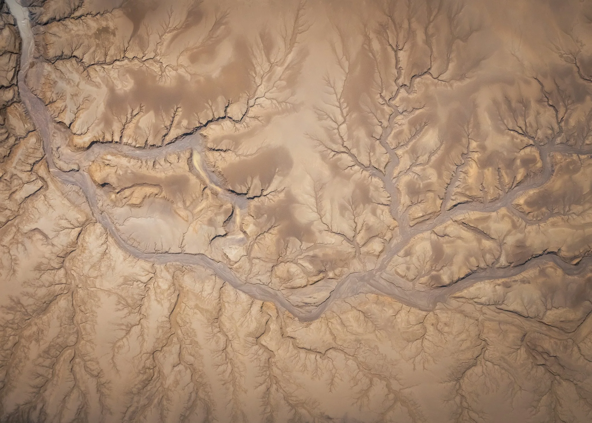
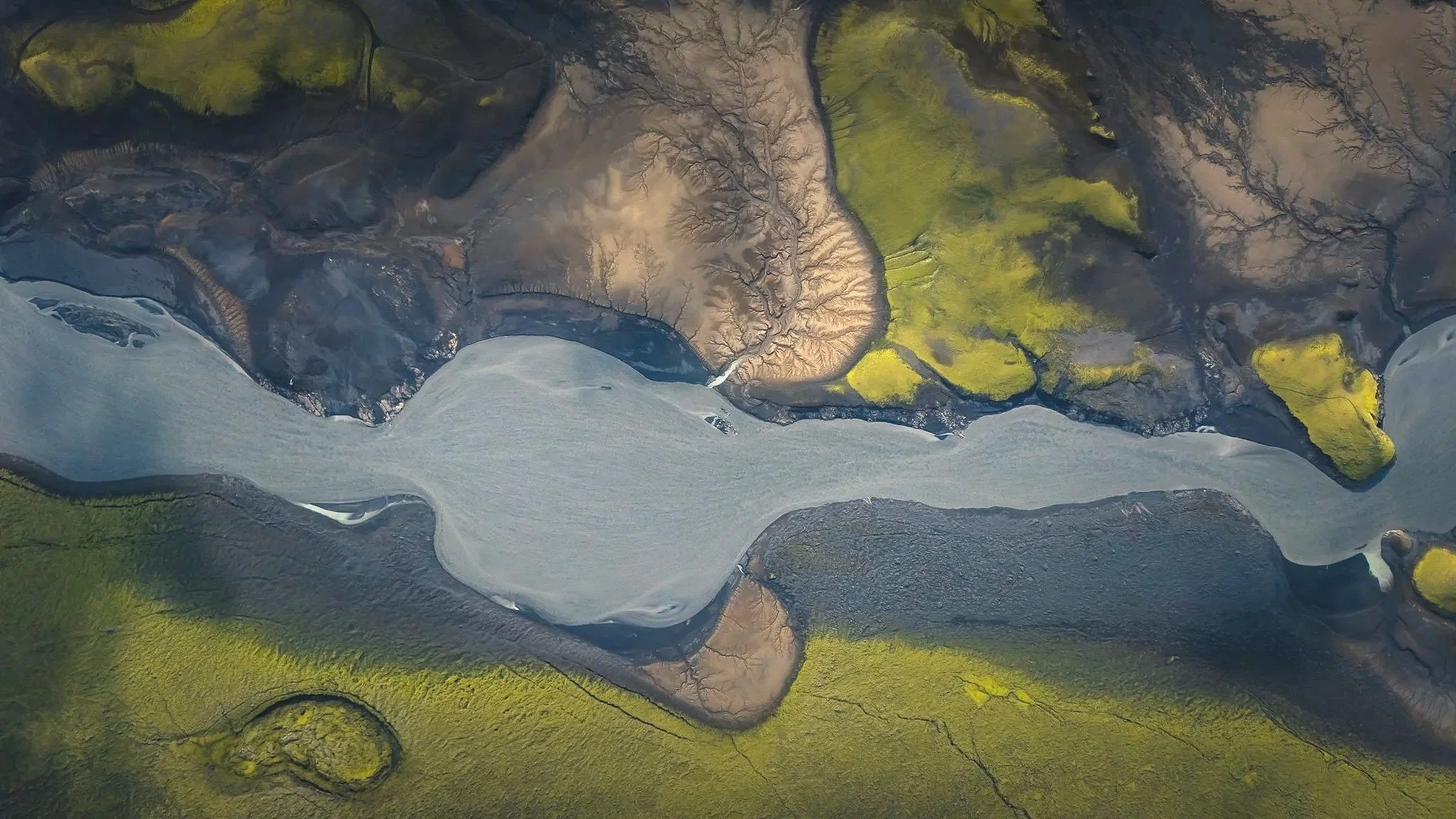
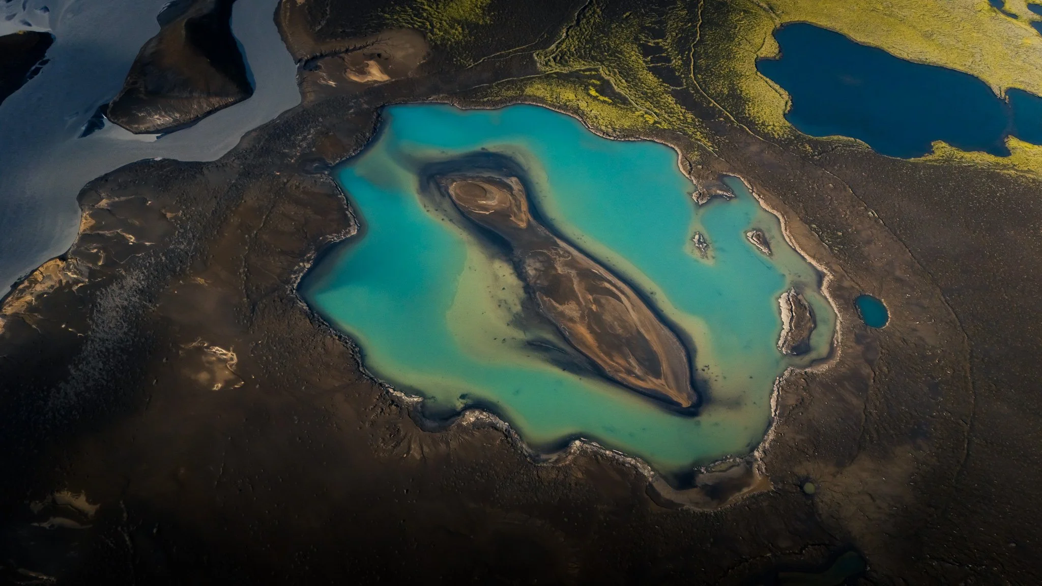
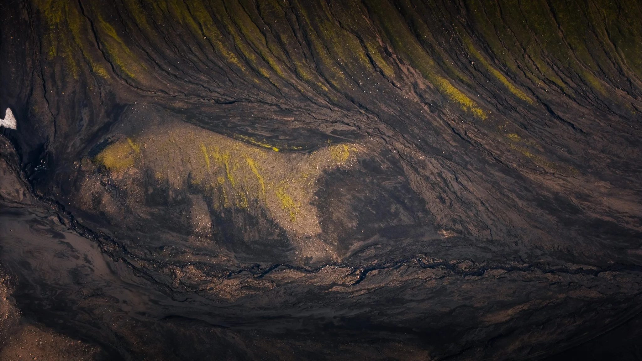
Instead, fly lower and look for patterns. I love those small lakes and sands just nearby.
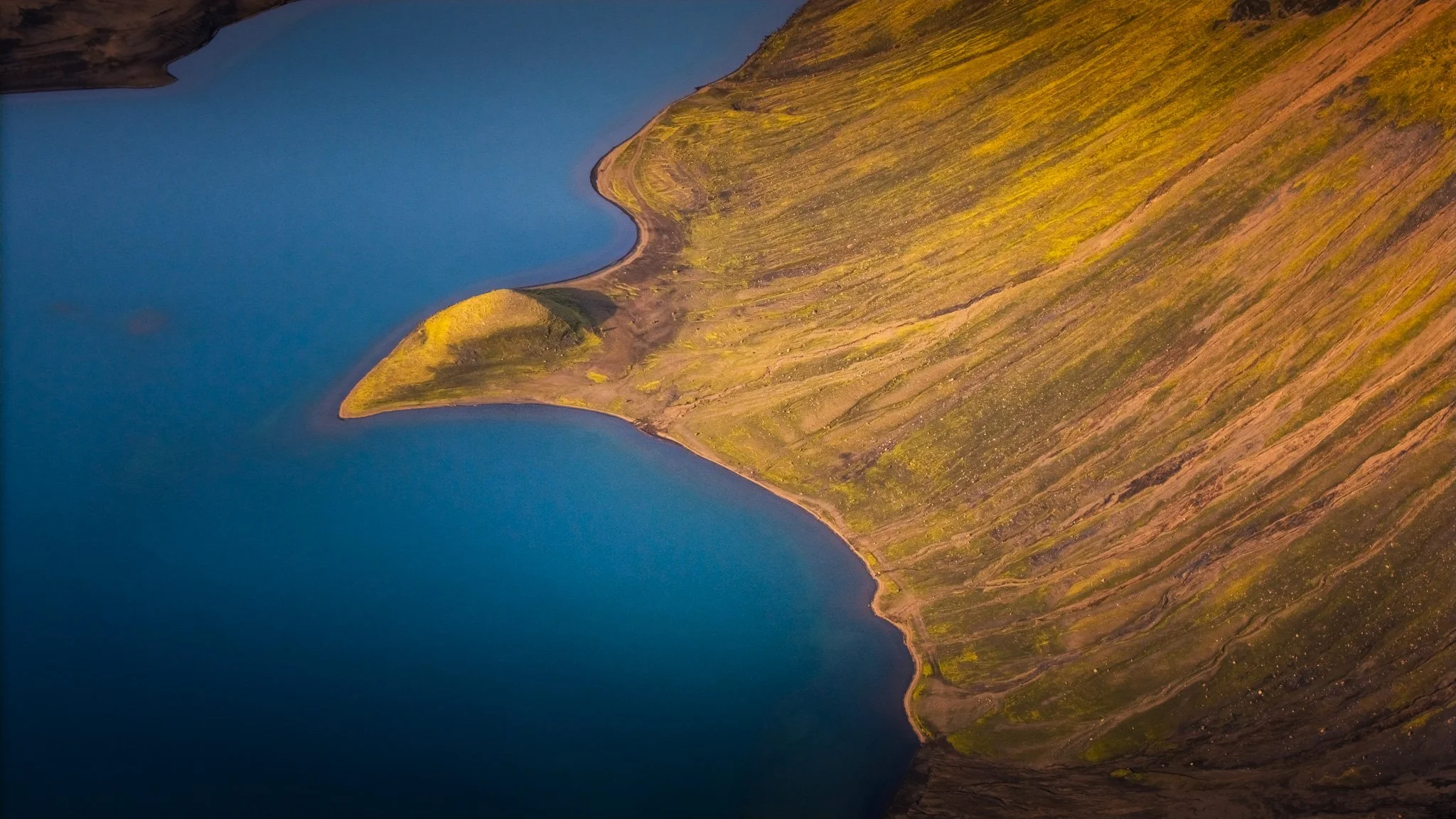
Follow the edge of the lake.
Look for the little bays cutting into the mountains.
Look for the contrast between black volcanic sand and the almost unreal blue-green water.
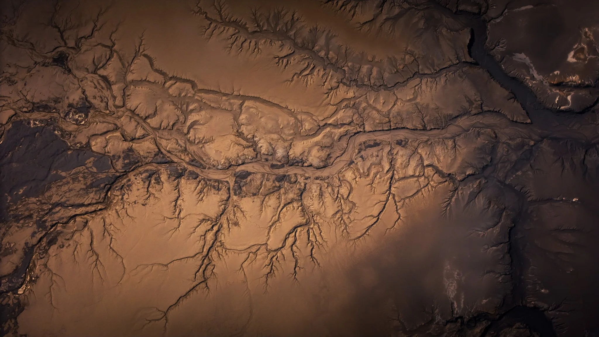
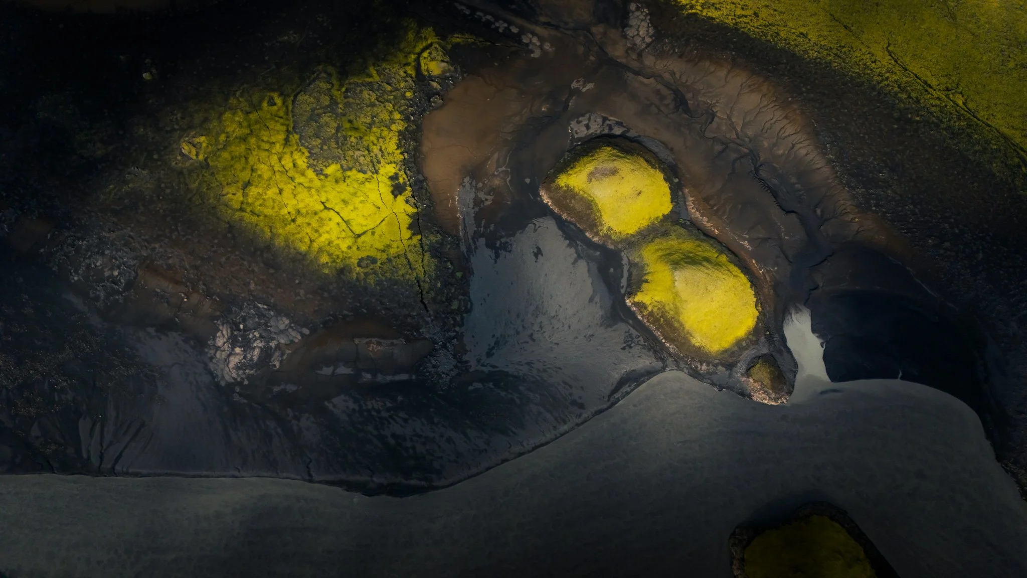
And especially look for the little lakes and streams around the main lake. From the air, some of them become almost abstract compositions.
I also love shooting with the drone when the sun is relatively low. The mountains start casting long shadows and suddenly the landscape becomes three-dimensional.
For my style, I would rather have beautiful side light and strong shadows than perfectly blue midday skies.
And don't forget your normal camera.
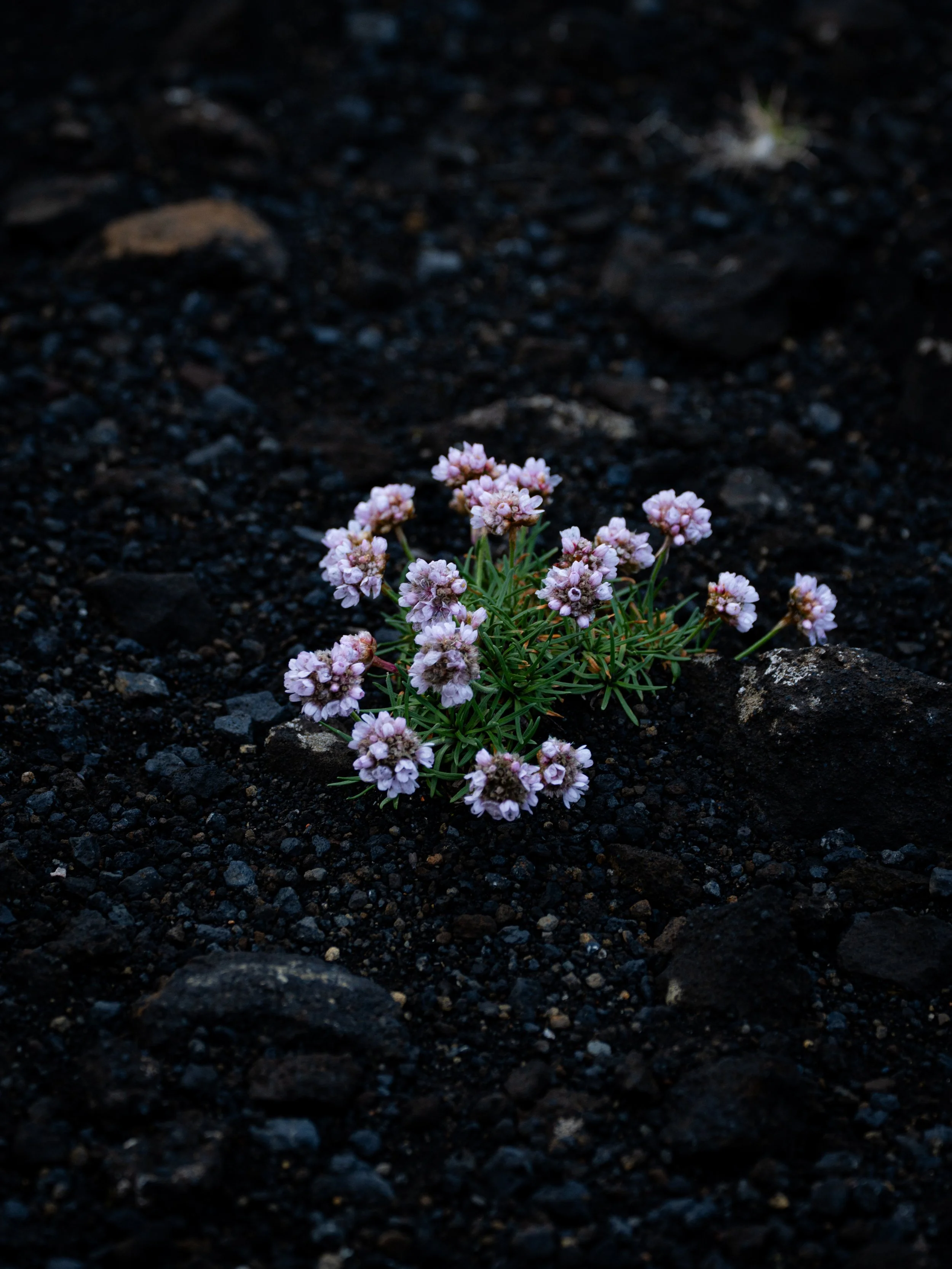
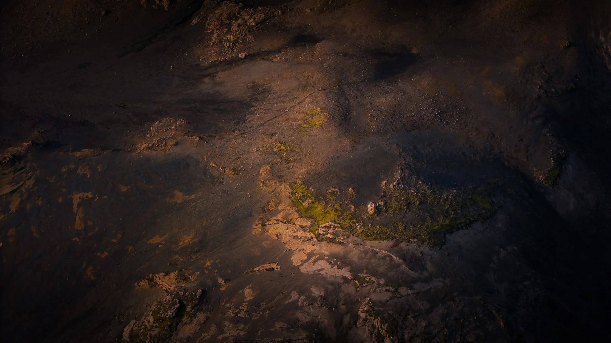
Langisjór is one of those places where the drone shows you the graphic, abstract landscape — while a longer lens from the ground can isolate the strange volcanic ridges and little details that you simply cannot see from the road.
Stay the night. Seriously.
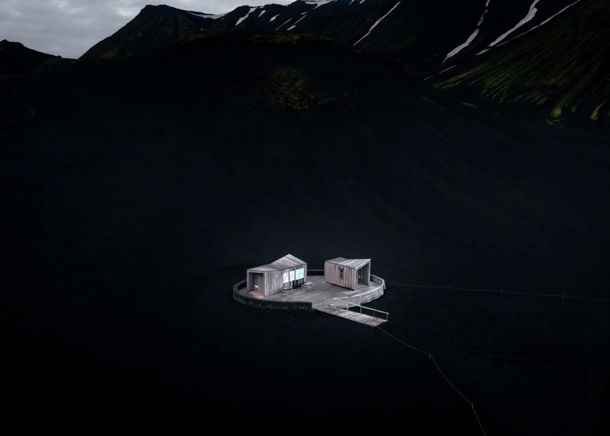
There is a small campsite right at the southern end of Langisjór, operated by Vatnajökull National Park.
It is extremely basic — and that is exactly the point.
And staying here overnight completely changes the experience.
The last people leave. The wind drops. The lake becomes quiet.
And if you are lucky with the weather, the evening light can be extraordinary.
For a photographer, this is when I would want to be here.
Not at noon when everyone arrives.
Stay for the evening. Stay for the morning.
The early morning light is also fantastic for drone work because the landscape is often calmer, there are fewer people around and the mountains can reflect beautifully in the lake.
camping :)
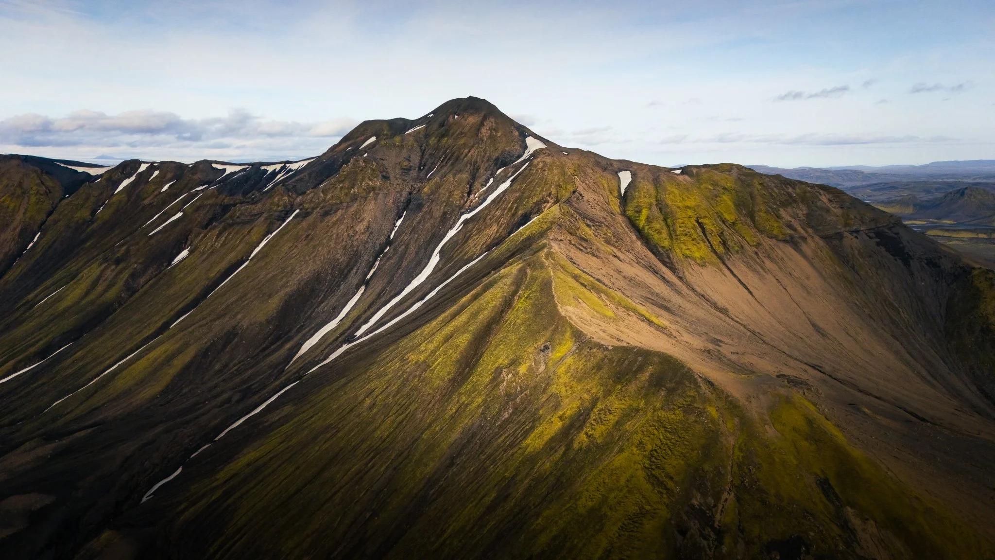
The hike to Sveinstindur
If you have time, don't just photograph Sveinstindur from below.
Walk it.
The official trail to the top is about 2 km one way, with roughly 400 metres of elevation gain, and takes around 2–3 hours according to Vatnajökull National Park.
It is not a huge expedition, but it is a proper mountain hike, and Highlands weather can change very quickly.
The reward is one of those views that makes you understand why people come all the way out here.
From Sveinstindur you look directly over Langisjór, with Fögrufjöll stretching along one side and the enormous Highlands continuing in every direction.
On a clear day, the views can stretch incredibly far across Iceland.
And if you are photographing it, bring a telephoto lens.
The view is so wide that it is tempting to photograph everything with a wide angle. But try compressing the layers of mountains, lake, volcanic ridges and glacier instead.
You can create much more powerful images that way.
And if you really want an adventure…
You can go much further.
The hiking route around Langisjór is roughly 50 km and takes around three days, while the route from Sveinstindur through Skælingar and towards Eldgjá is around 30–40 km and takes two to three days.
This is proper Highlands trekking, not a casual afternoon walk.

What about the drone?
This one is important because the rules in Iceland change depending on where you are.
Langisjór is within Vatnajökull National Park.
For recreational drone flying, the National Park currently generally allows drones, subject to the park's rules and Icelandic Transport Authority regulations. Langisjór itself is not listed among the park's areas where recreational drone flying is prohibited but it can require verbal ranger permission.
However, if your photography is commercial, advertising, filmmaking or another professional project, you need to apply for the appropriate permit through Vatnajökull National Park.
For professional photographers, I would sort the paperwork well before the trip rather than arriving in the Highlands and hoping everything will be fine. If you have possibility - the best way to see everything is helicopter or the plane. Otherwise you will need to do a lot of panoramas for all the lakes, because from 120 m altitude they are relatively big.

A few practical things before you go
Getting there: The main route to Langisjór is F235, which branches off F208 (Fjallabaksleið Nyrðri) and runs about 23 km towards the lake. F235 is 4x4 only and has several unbridged river crossings. From the south, F208 also has several smaller crossings, plus the more significant Strangakvísl crossing near Eldgjá.
I would definitely use a proper 4x4 with good ground clearance. And don't judge the road by what you see on Google Maps — the Highlands can change very quickly.
The fishermen's roads are another story. There are little tracks around Langisjór that look incredibly tempting, especially when you are looking for drone locations. But ask the ranger before driving them. Glacial water can carve enormous holes and deep gullies into the tracks, and some sections can become passable only with specially equipped Highland vehicles. The ranger will know what is actually possible that day. The National Park specifically recommends checking current road conditions before setting off.
Camping: There is a tiny, very basic campsite right at the south end of Langisjór, practically beside the ranger facilities and parking area. There is a toilet and running water nearby, but that's about it. No luxury, no fancy campsite — just you, your camper and one of the most spectacular views you could possibly wake up to. The National Park describes it as a campsite with minimal service.
And honestly, I wouldn't want it any other way.
This is the Highlands. You come here for the landscape, the silence and the feeling that you are properly in the middle of nowhere.
My biggest tip: don't rush Langisjór
This is not a place I would squeeze into a two-hour itinerary.
The road itself deserves time.
The little lakes deserve time.
The light changes constantly.
And the whole point of coming this far into the Highlands is to experience that feeling of being somewhere incredibly remote.
For me, Langisjór is not really about ticking off another Iceland location.
It is about the drive there, getting out of the car in the middle of nowhere, launching the drone and suddenly seeing hundreds of little details in the landscape that weren't visible from the ground.
It is about sitting beside the lake in the evening with almost nobody around.
And it is about that wonderful Icelandic feeling of thinking:
“How can a place like this actually exist?”
And then, of course, you have to drive all those rivers back again. 😄
All photographs are by Julia Mustonen-Dahlkvist, Lensroamers. No manipulation with AI, just real nature. All photographs are done with permission of Icelandic Environmental Agency. Many pictures include 12 or more pics Drone Panoramas
